20 Birch Ln Ipswich, MA 01938
Estimated Value: $684,400 - $832,000
5
Beds
2
Baths
1,800
Sq Ft
$413/Sq Ft
Est. Value
About This Home
This home is located at 20 Birch Ln, Ipswich, MA 01938 and is currently estimated at $742,850, approximately $412 per square foot. 20 Birch Ln is a home located in Essex County with nearby schools including Ipswich High School and Clark School.
Ownership History
Date
Name
Owned For
Owner Type
Purchase Details
Closed on
Nov 12, 1996
Sold by
Graves James B and Graves Elise W
Bought by
Antonucci Robert T and Antonucci Katherine
Current Estimated Value
Purchase Details
Closed on
Dec 1, 1992
Sold by
Couturier George J and Couturier Mary A
Bought by
Graves James B and Graves Elise W
Create a Home Valuation Report for This Property
The Home Valuation Report is an in-depth analysis detailing your home's value as well as a comparison with similar homes in the area
Home Values in the Area
Average Home Value in this Area
Purchase History
| Date | Buyer | Sale Price | Title Company |
|---|---|---|---|
| Antonucci Robert T | $196,000 | -- | |
| Antonucci Robert T | $196,000 | -- | |
| Graves James B | $179,900 | -- | |
| Graves James B | $179,900 | -- |
Source: Public Records
Mortgage History
| Date | Status | Borrower | Loan Amount |
|---|---|---|---|
| Open | Graves James B | $60,000 | |
| Closed | Graves James B | $160,000 |
Source: Public Records
Tax History Compared to Growth
Tax History
| Year | Tax Paid | Tax Assessment Tax Assessment Total Assessment is a certain percentage of the fair market value that is determined by local assessors to be the total taxable value of land and additions on the property. | Land | Improvement |
|---|---|---|---|---|
| 2025 | $6,400 | $574,000 | $314,900 | $259,100 |
| 2024 | $6,251 | $549,300 | $314,900 | $234,400 |
| 2023 | $6,329 | $517,500 | $290,400 | $227,100 |
| 2022 | $6,017 | $467,900 | $265,900 | $202,000 |
| 2021 | $5,829 | $440,900 | $253,700 | $187,200 |
| 2020 | $5,687 | $405,600 | $241,400 | $164,200 |
| 2019 | $5,564 | $394,900 | $229,200 | $165,700 |
| 2018 | $5,306 | $372,600 | $217,000 | $155,600 |
| 2017 | $4,968 | $350,100 | $199,500 | $150,600 |
| 2016 | $4,924 | $331,600 | $199,500 | $132,100 |
| 2015 | $4,285 | $317,200 | $192,500 | $124,700 |
Source: Public Records
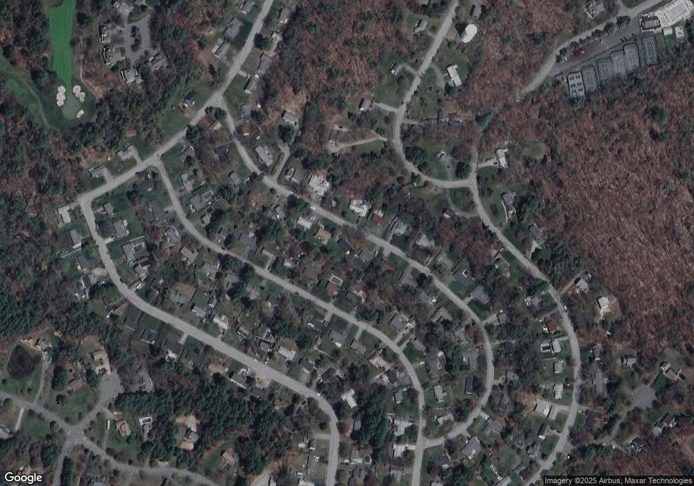
Map
Nearby Homes
- 1 Court Ln
- 75 Country Club Way
- 3 Choate Ln
- 196 Country Club Way
- 8 Longmeadow Dr Unit 14
- 16 Cedarwood Ln
- 47 Prospect St
- 29 Charlotte Rd
- 4 Sheppards Way
- 19 Morphew Ln Unit 2
- 61 Maplecroft Ln
- 46 Buttonwood
- 30 Buttonwood
- 76-78 Daniels Rd
- 147 Linebrook Rd
- 78 Wethersfield St
- 45 Pineswamp Rd
- 21 Hammond St
- 79 Spencer Knowles Rd
- 480 Newburyport Turnpike