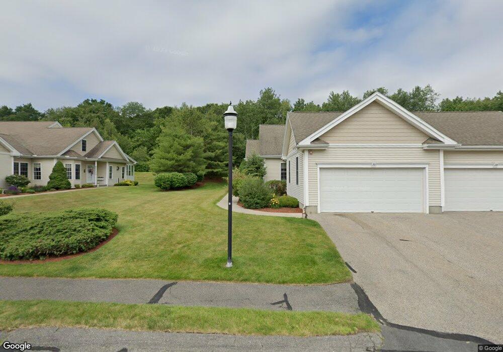
20 Blossom Tree Dr Shrewsbury, MA 01545
Estimated Value: $615,000 - $644,000
2
Beds
4
Baths
1,896
Sq Ft
$334/Sq Ft
Est. Value
About This Home
This home is located at 20 Blossom Tree Dr, Shrewsbury, MA 01545 and is currently estimated at $633,752, approximately $334 per square foot. 20 Blossom Tree Dr is a home located in Worcester County with nearby schools including Floral Street School, Sherwood Middle School, and Oak Middle School.
Ownership History
Date
Name
Owned For
Owner Type
Purchase Details
Closed on
Jan 20, 2006
Sold by
Jj Farrell Inc
Bought by
Miller Andrea M
Current Estimated Value
Home Financials for this Owner
Home Financials are based on the most recent Mortgage that was taken out on this home.
Original Mortgage
$396,311
Outstanding Balance
$223,547
Interest Rate
6.33%
Mortgage Type
Purchase Money Mortgage
Estimated Equity
$410,205
Create a Home Valuation Report for This Property
The Home Valuation Report is an in-depth analysis detailing your home's value as well as a comparison with similar homes in the area
Home Values in the Area
Average Home Value in this Area
Purchase History
| Date | Buyer | Sale Price | Title Company |
|---|---|---|---|
| Miller Andrea M | $417,170 | -- |
Source: Public Records
Mortgage History
| Date | Status | Borrower | Loan Amount |
|---|---|---|---|
| Open | Miller Andrea M | $396,311 |
Source: Public Records
Tax History Compared to Growth
Tax History
| Year | Tax Paid | Tax Assessment Tax Assessment Total Assessment is a certain percentage of the fair market value that is determined by local assessors to be the total taxable value of land and additions on the property. | Land | Improvement |
|---|---|---|---|---|
| 2025 | $63 | $525,200 | $0 | $525,200 |
| 2024 | $6,261 | $505,700 | $0 | $505,700 |
| 2023 | $6,653 | $507,100 | $0 | $507,100 |
| 2022 | $6,294 | $446,100 | $0 | $446,100 |
| 2021 | $5,623 | $426,300 | $0 | $426,300 |
| 2020 | $5,408 | $433,700 | $0 | $433,700 |
| 2019 | $5,452 | $433,700 | $0 | $433,700 |
| 2018 | $5,008 | $395,600 | $0 | $395,600 |
| 2017 | $4,813 | $375,100 | $0 | $375,100 |
| 2016 | $4,876 | $375,100 | $0 | $375,100 |
| 2015 | $4,858 | $368,000 | $0 | $368,000 |
Source: Public Records
Map
Nearby Homes
- 51 Cortland Grove Dr Unit 51
- 1 Purinton St
- 39 Creeper Hill Rd
- 34 Clews St
- 15 Windle Ave
- 151 Hartford Turnpike Unit 13
- 3 Thistle Hill Dr
- 6 Meadowsweet Rd
- 76 Grove St
- 22 Beverly Rd
- 16 Nelson Point Rd
- 11 Hovey Pond Dr Unit 11
- 7 Hovey Pond Dr Unit 7
- 95 Pineland Ave
- 39 Pointe Rok Dr Unit 39
- 31 Pointe Rok Dr Unit 31
- 15 Lakeside Dr
- 33 Lakeside Dr
- Ivywood Plan at Winslow Point - The Building 1 Series
- Hayden Plan at Winslow Point - The Building 1 Series
- 64 Blossom Tree Dr Unit 45
- 5 Blossom Tree Dr
- 55 Cortland Grove Dr
- 53 Cortland Grove Dr
- 51 Cortland Grove Dr
- 49 Cortland Grove Dr
- 43 Cortland Grove Dr
- 41 Cortland Grove Dr
- 37 Cortland Grove Dr
- 25 Cortland Grove Dr
- 14 Blossom Tree Dr
- 18 Blossom Tree Dr
- 34 Blossom Tree Dr
- 36 Blossom Tree Dr
- 46 Blossom Tree Dr
- 48 Blossom Tree Dr
- 50 Blossom Tree Dr
- 52 Blossom Tree Dr
- 127 Orchard Meadow Dr
- 109 Orchard Meadow Dr