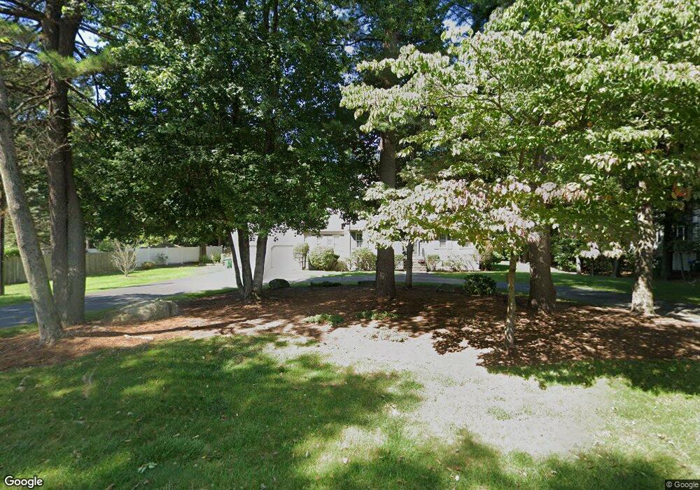
20 Blueberry Ln Westwood, MA 02090
Estimated Value: $1,489,000 - $1,682,000
4
Beds
3
Baths
2,900
Sq Ft
$555/Sq Ft
Est. Value
About This Home
This home is located at 20 Blueberry Ln, Westwood, MA 02090 and is currently estimated at $1,608,690, approximately $554 per square foot. 20 Blueberry Ln is a home located in Norfolk County with nearby schools including Westwood High School and Norwood Montessori School.
Ownership History
Date
Name
Owned For
Owner Type
Purchase Details
Closed on
Oct 14, 2015
Sold by
Suryanarayan Kaveri
Bought by
Kaveri Suryanarayan Lt and Suryanarayan Kaveri
Current Estimated Value
Purchase Details
Closed on
Nov 8, 2013
Sold by
Mastandrea Mark and Suryanarayan Kaveri
Bought by
Suryanarayan Kaveri
Purchase Details
Closed on
Dec 28, 2004
Sold by
Resha Lynne M and Resha Thomas M
Bought by
Suryanarayan Kaveri and Mastandrea Mark S
Create a Home Valuation Report for This Property
The Home Valuation Report is an in-depth analysis detailing your home's value as well as a comparison with similar homes in the area
Home Values in the Area
Average Home Value in this Area
Purchase History
| Date | Buyer | Sale Price | Title Company |
|---|---|---|---|
| Kaveri Suryanarayan Lt | -- | -- | |
| Suryanarayan Kaveri | -- | -- | |
| Suryanarayan Kaveri | $880,000 | -- |
Source: Public Records
Tax History Compared to Growth
Tax History
| Year | Tax Paid | Tax Assessment Tax Assessment Total Assessment is a certain percentage of the fair market value that is determined by local assessors to be the total taxable value of land and additions on the property. | Land | Improvement |
|---|---|---|---|---|
| 2025 | $19,274 | $1,505,800 | $690,000 | $815,800 |
| 2024 | $18,881 | $1,473,900 | $657,200 | $816,700 |
| 2023 | $16,631 | $1,163,000 | $548,800 | $614,200 |
| 2022 | $15,531 | $1,047,250 | $464,400 | $582,850 |
| 2021 | $15,462 | $1,046,150 | $442,400 | $603,750 |
| 2020 | $15,137 | $1,043,200 | $442,400 | $600,800 |
| 2019 | $14,176 | $967,650 | $421,200 | $546,450 |
| 2018 | $14,067 | $932,200 | $421,200 | $511,000 |
| 2017 | $13,465 | $924,150 | $421,200 | $502,950 |
| 2016 | $13,057 | $890,650 | $421,200 | $469,450 |
| 2015 | $12,639 | $829,300 | $421,200 | $408,100 |
Source: Public Records
Map
Nearby Homes
- 9 Stonegate Dr
- 11 Stonegate Dr
- 140 Burgess Ave
- 14 Ruel Dr
- 144 Fensview Dr
- 29 Hartford St
- 145 Walpole St
- 18 Tisdale Dr Unit 18
- 11 Schaffner Ln
- 9 Schaffner Ln
- 1080 North St
- 303 Oak St
- 10 Pettees Pond Ln
- 95 Arcadia Rd
- 36 Kingswood Rd
- 48 Lakeshore Dr
- 152 Albemarle Rd
- 52 Yarmouth Rd
- 144 Devon Rd
- 60 Warwick Dr
- 30 Blueberry Ln
- 1665 High St
- 1663 High St
- 1683 High St
- 25 Blueberry Ln
- 40 Blueberry Ln
- 1645 High St
- 45 Blueberry Ln
- 1666 High St
- 1666 High St Unit 2
- 1666 High St Unit 1
- 35 Blueberry Ln
- 1689 High St
- 54 Blueberry Ln
- 3 Stonegate Dr
- 61 Blueberry Ln
- 1652 High St Unit 1
- 1652 High St
- 1652 High St Unit 2
- 1625 High St