Estimated Value: $352,000 - $417,000
3
Beds
4
Baths
1,820
Sq Ft
$217/Sq Ft
Est. Value
About This Home
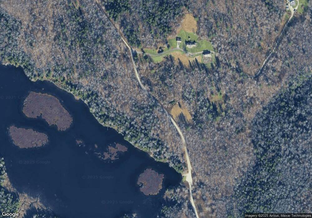
This home is located at 20 Bog Pond Rd, Savoy, MA 01256 and is currently estimated at $395,243, approximately $217 per square foot. 20 Bog Pond Rd is a home with nearby schools including Emma L. Miller Memorial Elementary School.
Create a Home Valuation Report for This Property
The Home Valuation Report is an in-depth analysis detailing your home's value as well as a comparison with similar homes in the area
Home Values in the Area
Average Home Value in this Area
Tax History Compared to Growth
Tax History
| Year | Tax Paid | Tax Assessment Tax Assessment Total Assessment is a certain percentage of the fair market value that is determined by local assessors to be the total taxable value of land and additions on the property. | Land | Improvement |
|---|---|---|---|---|
| 2025 | $5,293 | $318,500 | $38,000 | $280,500 |
| 2024 | $3,973 | $300,100 | $33,500 | $266,600 |
| 2023 | $3,941 | $287,900 | $33,500 | $254,400 |
| 2022 | $3,707 | $257,400 | $33,500 | $223,900 |
| 2021 | $3,647 | $257,400 | $33,500 | $223,900 |
| 2020 | $3,625 | $242,300 | $36,900 | $205,400 |
| 2019 | $180 | $242,300 | $36,900 | $205,400 |
| 2018 | $3,803 | $245,500 | $40,100 | $205,400 |
| 2017 | $4,191 | $245,500 | $40,100 | $205,400 |
| 2016 | $3,977 | $245,500 | $40,100 | $205,400 |
| 2015 | $4,235 | $260,600 | $55,200 | $205,400 |
Source: Public Records
Map
Nearby Homes
- 480 Mohawk Trail
- 477 Mohawk Trail
- 0 Central Shaft Rd
- 117 Strykers Rd
- 400 E Hoosac St
- 0 Tunnel Rd
- Upper East Hoosac St
- 0 Strykers Rd
- 214 Mohawk Trail
- 8 Apache Dr
- 14 Apache Dr
- 12 Aztec Dr
- 70 Mohawk Trail
- 0 E Mountain Rd Unit 22465469
- 0 E Mountain Rd Unit 22320380
- 0 Monroe Rd Unit 247361
- 0 Moores Rd Unit 247336
- 00 Mohawk Trail
- 34 Anthony St
- 17 A St