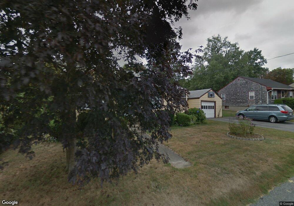
20 Bourne Rd Swansea, MA 02777
South Swansea NeighborhoodEstimated Value: $445,913 - $487,000
2
Beds
2
Baths
1,374
Sq Ft
$339/Sq Ft
Est. Value
About This Home
This home is located at 20 Bourne Rd, Swansea, MA 02777 and is currently estimated at $466,228, approximately $339 per square foot. 20 Bourne Rd is a home located in Bristol County with nearby schools including Joseph Case High School, Swansea Wood School, and SCEC Life Academy.
Ownership History
Date
Name
Owned For
Owner Type
Purchase Details
Closed on
Oct 10, 2023
Sold by
Lacroix Roland A and Lacroix Elaine T
Bought by
Lacroix
Current Estimated Value
Purchase Details
Closed on
Aug 31, 1978
Bought by
Lacroix Roland A and Lacroix Elaine
Create a Home Valuation Report for This Property
The Home Valuation Report is an in-depth analysis detailing your home's value as well as a comparison with similar homes in the area
Home Values in the Area
Average Home Value in this Area
Purchase History
| Date | Buyer | Sale Price | Title Company |
|---|---|---|---|
| Lacroix | -- | None Available | |
| Lacroix Roland A | -- | -- |
Source: Public Records
Mortgage History
| Date | Status | Borrower | Loan Amount |
|---|---|---|---|
| Previous Owner | Lacroix Roland A | $17,500 | |
| Previous Owner | Lacroix Roland A | $50,000 | |
| Previous Owner | Lacroix Roland A | $10,000 | |
| Previous Owner | Lacroix Roland A | $34,000 |
Source: Public Records
Tax History Compared to Growth
Tax History
| Year | Tax Paid | Tax Assessment Tax Assessment Total Assessment is a certain percentage of the fair market value that is determined by local assessors to be the total taxable value of land and additions on the property. | Land | Improvement |
|---|---|---|---|---|
| 2025 | $4,565 | $383,000 | $175,000 | $208,000 |
| 2024 | $4,556 | $380,000 | $175,000 | $205,000 |
| 2023 | $4,292 | $326,900 | $127,700 | $199,200 |
| 2022 | $4,116 | $286,000 | $106,800 | $179,200 |
| 2021 | $3,782 | $242,000 | $104,400 | $137,600 |
| 2020 | $3,862 | $247,900 | $106,200 | $141,700 |
| 2019 | $3,688 | $237,800 | $96,100 | $141,700 |
| 2018 | $3,571 | $233,700 | $96,800 | $136,900 |
| 2017 | $3,154 | $237,500 | $100,600 | $136,900 |
| 2016 | $3,177 | $235,000 | $102,900 | $132,100 |
| 2015 | $2,914 | $221,900 | $102,900 | $119,000 |
| 2014 | $2,870 | $223,500 | $102,900 | $120,600 |
Source: Public Records
Map
Nearby Homes
- 19 Keller Ave
- 19 Richard Rd
- 196 Coolidge St
- 159 Wilder St
- 127 Sheraton Ave
- 41 James Ave
- 20 Sherbourne Ave
- 153 Puffer Ave
- 167 Mercier Ave
- 675 Lees River Ave
- 30 Front St
- 8 2nd St
- 24 Front St
- 502 Ocean Grove Ave
- 123 Calef Ave
- 105 Birchwood Dr
- 132 Jackson Ave
- 25 Inverness Rd
- 462 Harbor View Blvd
- 197 Alberta Ave
- 10 Bourne Rd
- 28 Bourne Rd
- 45 Wendell St
- 23 Bourne Rd
- 36 Bourne Rd
- 15 Bourne Rd
- 31 Bourne Rd
- 55 Wendell St
- 7 Bourne Rd
- 0- Lot 111 Wendell St
- 37 Bourne Rd
- 44 Bourne Rd
- 50 Wendell St
- 48 Wendell St
- 47 Bourne Rd
- 34 Wendell St
- 0 Wendell St - L:105 Unit 73252550
- 42 Wendell St
- 11 Wendell St
- Lot 146A Wendell St