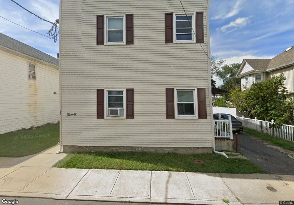
20 Branchport Ave Long Branch, NJ 07740
Estimated Value: $710,000 - $942,000
4
Beds
4
Baths
2,484
Sq Ft
$324/Sq Ft
Est. Value
About This Home
This home is located at 20 Branchport Ave, Long Branch, NJ 07740 and is currently estimated at $804,700, approximately $323 per square foot. 20 Branchport Ave is a home located in Monmouth County with nearby schools including Long Branch High School and Holy Trinity School.
Ownership History
Date
Name
Owned For
Owner Type
Purchase Details
Closed on
Feb 15, 2018
Sold by
Saad Nasri
Bought by
Saad Nasri and Saad Susan
Current Estimated Value
Home Financials for this Owner
Home Financials are based on the most recent Mortgage that was taken out on this home.
Original Mortgage
$175,001
Outstanding Balance
$99,675
Interest Rate
4.04%
Mortgage Type
New Conventional
Estimated Equity
$705,025
Purchase Details
Closed on
Dec 11, 2002
Sold by
Pennington William
Bought by
Nasri Saad
Home Financials for this Owner
Home Financials are based on the most recent Mortgage that was taken out on this home.
Original Mortgage
$224,000
Interest Rate
6.16%
Mortgage Type
Commercial
Create a Home Valuation Report for This Property
The Home Valuation Report is an in-depth analysis detailing your home's value as well as a comparison with similar homes in the area
Home Values in the Area
Average Home Value in this Area
Purchase History
| Date | Buyer | Sale Price | Title Company |
|---|---|---|---|
| Saad Nasri | -- | None Available | |
| Nasri Saad | $280,000 | -- |
Source: Public Records
Mortgage History
| Date | Status | Borrower | Loan Amount |
|---|---|---|---|
| Open | Saad Nasri | $175,001 | |
| Closed | Nasri Saad | $224,000 |
Source: Public Records
Tax History Compared to Growth
Tax History
| Year | Tax Paid | Tax Assessment Tax Assessment Total Assessment is a certain percentage of the fair market value that is determined by local assessors to be the total taxable value of land and additions on the property. | Land | Improvement |
|---|---|---|---|---|
| 2025 | $10,412 | $750,700 | $208,300 | $542,400 |
| 2024 | $9,706 | $677,400 | $183,300 | $494,100 |
| 2023 | $9,706 | $625,000 | $153,300 | $471,700 |
| 2022 | $9,445 | $558,800 | $143,300 | $415,500 |
| 2021 | $9,445 | $472,000 | $118,300 | $353,700 |
| 2020 | $9,530 | $456,000 | $104,300 | $351,700 |
| 2019 | $9,072 | $431,600 | $96,300 | $335,300 |
| 2018 | $8,716 | $412,300 | $89,300 | $323,000 |
| 2017 | $8,351 | $405,200 | $88,300 | $316,900 |
| 2016 | $8,124 | $402,000 | $93,300 | $308,700 |
| 2015 | $5,839 | $262,200 | $83,300 | $178,900 |
| 2014 | $5,498 | $260,200 | $93,300 | $166,900 |
Source: Public Records
Map
Nearby Homes
- 28 Norwood Ave
- 88 Norwood Ave
- 119 Washington St
- 631 Irving Place
- 399 Willow Ave
- 565 Joline Ave
- 572 Jay St
- 11 Clay St
- 238 Branchport Ave
- 11 Golf St
- 2 Hilltop Rd
- 14 Slocum Place
- 298 Poole Ave
- 39 Slocum Place
- 7 Linden Ave
- 401 Joline Ave
- 222 Coleman Ave
- 364 Westwood Ave Unit 39
- 364 Westwood Ave Unit 71
- 364 Westwood Ave Unit 21
- 24 Branchport Ave
- 3 Russell Ct
- 26 Branchport Ave
- 582 Russell Ave
- 586 Russell Ave
- 569 Broadway
- 585 Broadway
- 25 Branchport Ave
- 590 Russell Ave
- 27 Branchport Ave
- 593 Broadway
- 38 Branchport Ave
- 596 Russell Ave
- 33 Branchport Ave
- 600 Russell Ave
- 600 Russell Ave Unit B
- 42 Branchport Ave
- 559 Broadway
- 557 Broadway Unit 4
- 589 Russell Ave