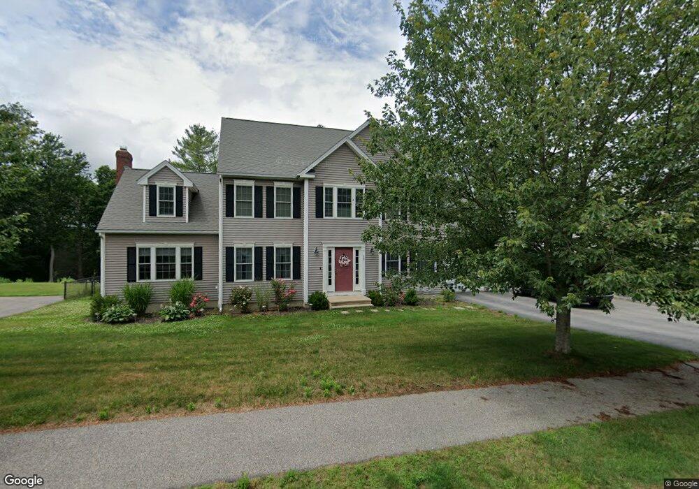
20 Bridle Path Auburn, MA 01501
West Auburn NeighborhoodEstimated Value: $732,000 - $859,000
About This Home
This home is located at 20 Bridle Path, Auburn, MA 01501 and is currently estimated at $794,179, approximately $424 per square foot. 20 Bridle Path is a home located in Worcester County with nearby schools including Auburn Senior High School and Shrewsbury Montessori School - Auburn Campus.
Ownership History
We collect this data history from publicly available records. To have your information removed, we recommend requesting removal directly through your county’s website.
Purchase Details
Home Financials for this Owner
Home Financials are based on the most recent Mortgage that was taken out on this home.Home Values in the Area
Average Home Value in this Area
Purchase History
We collect this data history from publicly available records. To have your information removed, we recommend requesting removal directly through your county’s website.
| Date | Buyer | Sale Price | Title Company |
|---|---|---|---|
| $125,000 | -- | ||
| $436,315 | -- |
Mortgage History
We collect this data history from publicly available records. To have your information removed, we recommend requesting removal directly through your county’s website.
| Date | Status | Borrower | Loan Amount |
|---|---|---|---|
| Open | $401,000 | ||
| Closed | $404,000 | ||
| Closed | $344,000 | ||
| Closed | $335,200 | ||
| Closed | $30,476 | ||
| Closed | $308,000 | ||
| Closed | $60,000 | ||
| Closed | $260,000 | ||
| Closed | $132,650 |
Tax History
We collect this data history from publicly available records. To have your information removed, we recommend requesting removal directly through your county’s website.
| Year | Tax Paid | Tax Assessment Tax Assessment Total Assessment is a certain percentage of the fair market value that is determined by local assessors to be the total taxable value of land and additions on the property. | Land | Improvement |
|---|---|---|---|---|
| 2025 | $99 | $692,600 | $189,800 | $502,800 |
| 2024 | $10,118 | $677,700 | $183,700 | $494,000 |
| 2023 | $9,490 | $597,600 | $155,700 | $441,900 |
| 2022 | $8,861 | $526,800 | $155,700 | $371,100 |
| 2021 | $8,606 | $474,400 | $127,600 | $346,800 |
| 2020 | $8,461 | $470,600 | $127,600 | $343,000 |
| 2019 | $8,401 | $456,100 | $125,600 | $330,500 |
| 2018 | $8,298 | $450,000 | $117,400 | $332,600 |
| 2017 | $8,024 | $437,500 | $106,400 | $331,100 |
| 2016 | $7,860 | $434,500 | $109,800 | $324,700 |
| 2015 | $7,472 | $432,900 | $109,800 | $323,100 |
| 2014 | $7,352 | $425,200 | $104,300 | $320,900 |
Map
- 8 Woodside Terrace
- 20 Hilltop Farm Rd
- 5 Pioneer Ln Unit 1
- 8 Woodcrest Dr Unit 8
- 179 West St
- 25 Maple Ave
- 3 Thayer Pond Dr Unit 17
- 155 Southbridge Rd
- 611 Oxford St S
- 650 Oxford St S
- 95 Leicester St
- 22 Comins Rd
- 6 Laurelwood Dr
- 120-A Southbridge Rd
- 647 Main St Unit A
- 9 B Wellington Rd
- 7 Hartwell Rd
- 1 Melba Ave
- 65B Depot Rd Unit B
- 202 Heritage Ln Unit 202
Ask me questions while you tour the home.