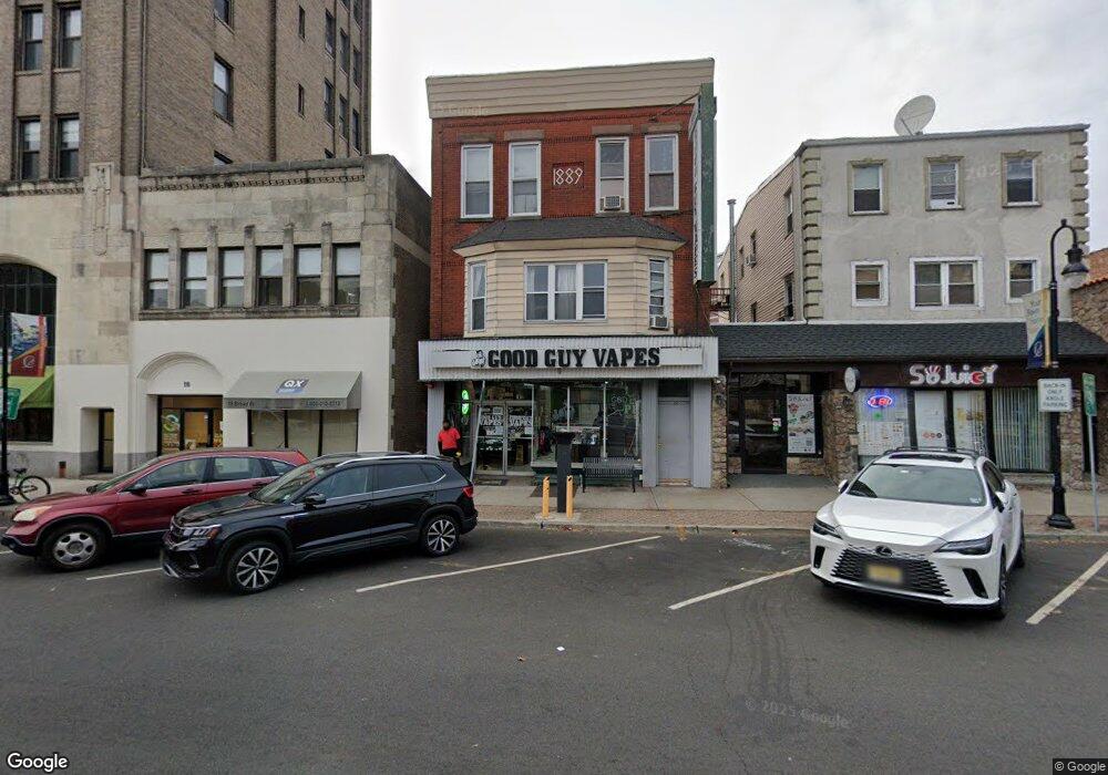
20 Broad St Unit 2 Bloomfield, NJ 07003
Estimated Value: $743,666
3
Beds
1
Bath
--
Sq Ft
1,873
Sq Ft Lot
About This Home
This home is located at 20 Broad St Unit 2, Bloomfield, NJ 07003 and is currently estimated at $743,666. 20 Broad St Unit 2 is a home located in Essex County with nearby schools including Fairview School, Bloomfield Middle School, and Bloomfield High School.
Ownership History
Date
Name
Owned For
Owner Type
Purchase Details
Closed on
May 2, 2017
Sold by
Emcee Realty Co
Bought by
E & K Remodelling Llc
Current Estimated Value
Home Financials for this Owner
Home Financials are based on the most recent Mortgage that was taken out on this home.
Original Mortgage
$338,000
Outstanding Balance
$281,089
Interest Rate
4.1%
Mortgage Type
Commercial
Estimated Equity
$462,577
Create a Home Valuation Report for This Property
The Home Valuation Report is an in-depth analysis detailing your home's value as well as a comparison with similar homes in the area
Home Values in the Area
Average Home Value in this Area
Purchase History
| Date | Buyer | Sale Price | Title Company |
|---|---|---|---|
| E & K Remodelling Llc | $380,000 | Professional Abstract& Title |
Source: Public Records
Mortgage History
| Date | Status | Borrower | Loan Amount |
|---|---|---|---|
| Open | E & K Remodelling Llc | $338,000 |
Source: Public Records
Tax History
| Year | Tax Paid | Tax Assessment Tax Assessment Total Assessment is a certain percentage of the fair market value that is determined by local assessors to be the total taxable value of land and additions on the property. | Land | Improvement |
|---|---|---|---|---|
| 2025 | $15,849 | $441,600 | $66,000 | $375,600 |
| 2024 | $15,266 | $441,600 | $66,000 | $375,600 |
| 2022 | $14,975 | $441,600 | $66,000 | $375,600 |
| 2021 | $14,705 | $441,600 | $66,000 | $375,600 |
| 2020 | $14,511 | $441,600 | $66,000 | $375,600 |
| 2019 | $14,595 | $345,600 | $143,600 | $202,000 |
| 2018 | $14,515 | $345,600 | $143,600 | $202,000 |
| 2017 | $14,291 | $345,600 | $143,600 | $202,000 |
| 2016 | $14,135 | $345,600 | $143,600 | $202,000 |
| 2015 | $14,031 | $345,600 | $143,600 | $202,000 |
| 2014 | $13,717 | $345,600 | $143,600 | $202,000 |
Source: Public Records
Map
Nearby Homes
- 545 Bloomfield Ave
- 660 Bloomfield Ave Unit 402
- 660 Bloomfield Ave Unit 403
- 660 Bloomfield Ave Unit 406
- 8 Appleton Rd
- 27 Oakland Ave
- 54 Thomas St
- 198 Glenwood Ave
- 214 Ashland Ave
- 35 Hickory St
- 55 Park Ave Unit 33
- 29 Edgewood Rd
- 14-16 Crown St
- 14 Crown St Unit 16
- 108 Walnut St
- 186 Walnut St Unit 114
- 173 Hillside Ave
- 193 Hillside Ave
- 138 Orange St
- 158 Glenwood Ave
- 20 Broad St
- 24 Broad St Unit 3
- 24 Broad St Unit 2
- 24 Broad St
- 595 Bloomfield Ave
- 599 Bloomfield Ave Unit 1
- 599 Bloomfield Ave Unit 2
- 599 Bloomfield Ave
- 2 Broad St
- 601 Bloomfield Ave
- 601 Bloomfield Ave Unit 2
- 23 Broad St
- 607 Bloomfield Ave
- 604 Bloomfield Ave
- 586 Bloomfield Ave
- 330 Glenwood Ave Unit 3
- 326 Glenwood Ave
- 326 Glenwood Ave
- 291 Glenwood Ave Unit A
- 55 Washington St
Your Personal Tour Guide
Ask me questions while you tour the home.