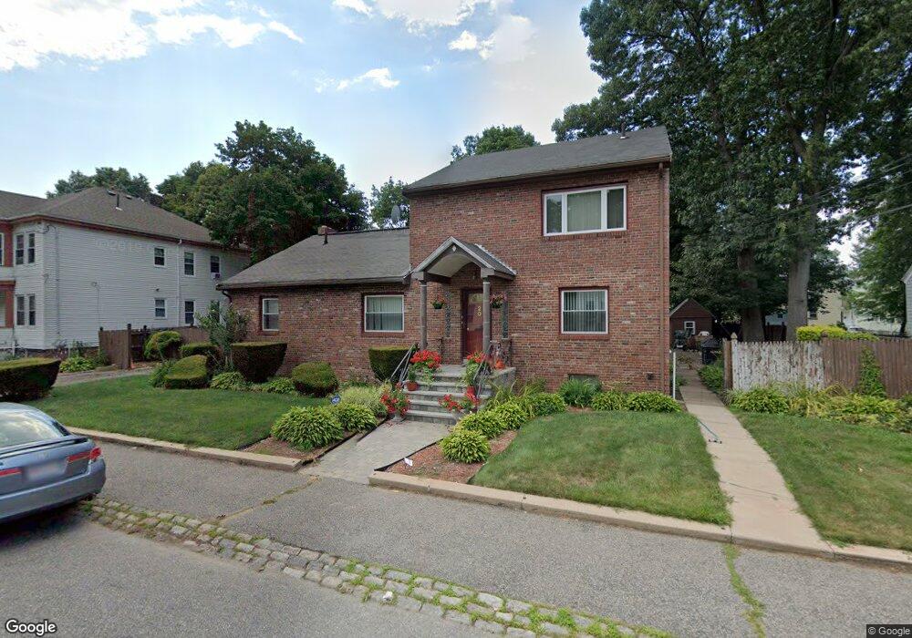
20 Brockton St Mattapan, MA 02126
Southern Mattapan NeighborhoodEstimated Value: $777,319 - $908,000
4
Beds
3
Baths
3,053
Sq Ft
$272/Sq Ft
Est. Value
About This Home
This home is located at 20 Brockton St, Mattapan, MA 02126 and is currently estimated at $829,330, approximately $271 per square foot. 20 Brockton St is a home located in Suffolk County with nearby schools including KIPP Academy Boston Charter School and Berea Seventh-day Adventist Academy.
Ownership History
Date
Name
Owned For
Owner Type
Purchase Details
Closed on
Apr 27, 2006
Sold by
Payne-Callender Renee
Bought by
Parham Steven G
Current Estimated Value
Home Financials for this Owner
Home Financials are based on the most recent Mortgage that was taken out on this home.
Original Mortgage
$470,250
Outstanding Balance
$272,349
Interest Rate
6.4%
Mortgage Type
Purchase Money Mortgage
Estimated Equity
$556,981
Purchase Details
Closed on
Sep 22, 2005
Sold by
Parham Dinah and Parham Steven G
Bought by
Payne-Callender Renee
Home Financials for this Owner
Home Financials are based on the most recent Mortgage that was taken out on this home.
Original Mortgage
$440,100
Interest Rate
5.92%
Mortgage Type
Purchase Money Mortgage
Create a Home Valuation Report for This Property
The Home Valuation Report is an in-depth analysis detailing your home's value as well as a comparison with similar homes in the area
Home Values in the Area
Average Home Value in this Area
Purchase History
| Date | Buyer | Sale Price | Title Company |
|---|---|---|---|
| Parham Steven G | $495,000 | -- | |
| Payne-Callender Renee | $489,000 | -- |
Source: Public Records
Mortgage History
| Date | Status | Borrower | Loan Amount |
|---|---|---|---|
| Open | Parham Steven G | $470,250 | |
| Previous Owner | Payne-Callender Renee | $440,100 |
Source: Public Records
Tax History Compared to Growth
Tax History
| Year | Tax Paid | Tax Assessment Tax Assessment Total Assessment is a certain percentage of the fair market value that is determined by local assessors to be the total taxable value of land and additions on the property. | Land | Improvement |
|---|---|---|---|---|
| 2025 | $7,381 | $637,400 | $283,800 | $353,600 |
| 2024 | $7,768 | $712,700 | $310,100 | $402,600 |
| 2023 | $7,222 | $672,400 | $292,600 | $379,800 |
| 2022 | $7,316 | $672,400 | $292,600 | $379,800 |
| 2021 | $6,523 | $611,300 | $266,000 | $345,300 |
| 2020 | $5,917 | $560,300 | $219,800 | $340,500 |
| 2019 | $5,446 | $516,700 | $161,200 | $355,500 |
| 2018 | $4,837 | $461,500 | $161,200 | $300,300 |
| 2017 | $4,699 | $443,700 | $161,200 | $282,500 |
| 2016 | $4,437 | $403,400 | $161,200 | $242,200 |
| 2015 | $4,189 | $345,900 | $143,400 | $202,500 |
| 2014 | $4,029 | $320,300 | $143,400 | $176,900 |
Source: Public Records
Map
Nearby Homes
- 10 Brockton St
- 95 Woodhaven St
- 770 Cummins Hwy Unit 1
- 770 Cummins Hwy Unit 22
- 839-843 Cummins Hwy
- 231 Itasca St
- 20 Monterey Ave
- 100 Itasca St
- 60 and 64 Monterey Ave
- 1465 Blue Hill Ave
- 116 Almont St
- 90 Hollingsworth St
- 48-50 Rockdale St
- 12 Hiawatha Rd
- 14-14R Kennebec St
- 34 Ridlon Rd
- 23 Caton St
- 4 Crossman St Unit 4
- 72 Livermore St
- 179 Hebron St
- 22 Brockton St
- 16 Brockton St
- 41 Favre St
- 41 Favre St Unit 2
- 45 Favre St
- 45 Favre St Unit 2
- 45 Favre St Unit 45 Favre St 2
- 14 Brockton St
- 49 Favre St
- 37 Favre St
- 26 Brockton St
- 21 Brockton St
- 33 Favre St
- 12 Brockton St
- 19 Brockton St
- 19 Brockton St Unit 1
- 53 Favre St
- 53 Favre St Unit 2
- 17 Brockton St
- 23 Brockton St