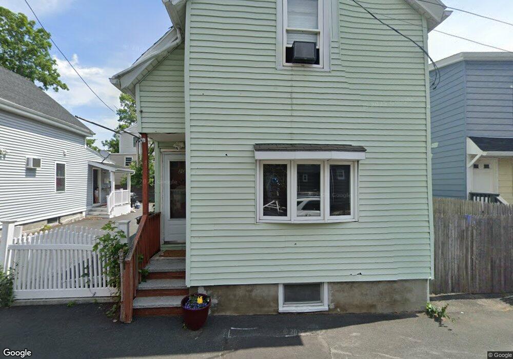
20 Brookline Ave Lynn, MA 01902
Eastern Avenue NeighborhoodEstimated Value: $380,000 - $451,000
3
Beds
1
Bath
831
Sq Ft
$502/Sq Ft
Est. Value
About This Home
This home is located at 20 Brookline Ave, Lynn, MA 01902 and is currently estimated at $417,348, approximately $502 per square foot. 20 Brookline Ave is a home located in Essex County with nearby schools including Ingalls Elementary School, William R. Fallon School, and Marshall Middle School.
Ownership History
Date
Name
Owned For
Owner Type
Purchase Details
Closed on
Apr 1, 2004
Sold by
Neary-Bourne Kimberlee and Bourne Courtney
Bought by
White King Crystal
Current Estimated Value
Home Financials for this Owner
Home Financials are based on the most recent Mortgage that was taken out on this home.
Original Mortgage
$129,280
Interest Rate
5.56%
Mortgage Type
Purchase Money Mortgage
Purchase Details
Closed on
Aug 28, 2000
Sold by
Russo Georgina
Bought by
Bourne Courtney and Neary-Bourne Kimberlee
Create a Home Valuation Report for This Property
The Home Valuation Report is an in-depth analysis detailing your home's value as well as a comparison with similar homes in the area
Home Values in the Area
Average Home Value in this Area
Purchase History
| Date | Buyer | Sale Price | Title Company |
|---|---|---|---|
| White King Crystal | $161,600 | -- | |
| Bourne Courtney | $89,000 | -- |
Source: Public Records
Mortgage History
| Date | Status | Borrower | Loan Amount |
|---|---|---|---|
| Open | Bourne Courtney | $25,416 | |
| Open | Bourne Courtney | $190,000 | |
| Closed | Bourne Courtney | $129,280 | |
| Previous Owner | Bourne Courtney | $22,800 |
Source: Public Records
Tax History
| Year | Tax Paid | Tax Assessment Tax Assessment Total Assessment is a certain percentage of the fair market value that is determined by local assessors to be the total taxable value of land and additions on the property. | Land | Improvement |
|---|---|---|---|---|
| 2025 | $3,921 | $378,500 | $166,600 | $211,900 |
| 2024 | $3,772 | $358,200 | $158,300 | $199,900 |
| 2023 | $3,555 | $318,800 | $144,200 | $174,600 |
| 2022 | $3,523 | $283,400 | $123,400 | $160,000 |
| 2021 | $3,462 | $265,700 | $116,700 | $149,000 |
| 2020 | $3,287 | $245,300 | $108,400 | $136,900 |
| 2019 | $3,176 | $222,100 | $93,500 | $128,600 |
| 2018 | $2,928 | $193,300 | $86,400 | $106,900 |
| 2017 | $2,802 | $179,600 | $80,900 | $98,700 |
| 2016 | $2,628 | $162,400 | $69,500 | $92,900 |
| 2015 | $2,456 | $146,600 | $66,000 | $80,600 |
Source: Public Records
Map
Nearby Homes
- 79 Brookline St
- 106 Williams Ave
- 129 Williams Ave
- 7 Sidney Ave
- 59 Essex St Unit 59B
- 11 Seymour Ave Unit 3
- 97 Seymour Ave
- 30 Clifton Ave
- 133 Chestnut St
- 129 Marianna St
- 29-31 Essex Ave Unit 2
- 185 Lewis St Unit 4
- 11 Boynton St Unit 104
- 11 Boynton St Unit 101
- 11 Boynton St Unit 102
- 11 Boynton St Unit 103
- 11 Boynton St Unit 204
- 12 Chestnut Ave
- 146 Burrill St
- 115 Collins St
- 115 Brookline St Unit 117
- 16 Brookline Ave
- 115-117 Brookline St
- 111 Brookline St
- 111 Brookline St Unit 3
- 111 Brookline St Unit 2
- 12 Brookline Ave
- 15 Brook St
- 107 Brookline St
- 123 Brookline St
- 17 Brookline Ave
- 8 Brookline Ave
- 8 Brookline Ave Unit 3
- 13 Brookline Ave
- 9 Brookline Ave
- 11 Brook St
- 9 Brook St
- 6 Brookline Ave
- 20 Brook St
- 129 Brookline St