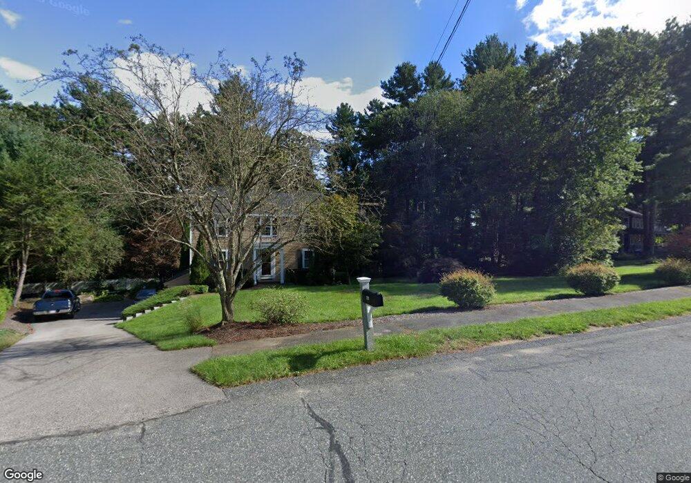
20 Brookview Rd Millis, MA 02054
Estimated Value: $809,866 - $902,000
4
Beds
3
Baths
2,500
Sq Ft
$344/Sq Ft
Est. Value
About This Home
This home is located at 20 Brookview Rd, Millis, MA 02054 and is currently estimated at $861,217, approximately $344 per square foot. 20 Brookview Rd is a home located in Norfolk County with nearby schools including Clyde F Brown, Millis Middle School, and Millis High School.
Ownership History
Date
Name
Owned For
Owner Type
Purchase Details
Closed on
Aug 30, 2001
Sold by
Harney Stephen M
Bought by
Albrecht Michael D and Albrecht Kathleen M
Current Estimated Value
Home Financials for this Owner
Home Financials are based on the most recent Mortgage that was taken out on this home.
Original Mortgage
$207,060
Outstanding Balance
$81,154
Interest Rate
7.06%
Mortgage Type
Purchase Money Mortgage
Estimated Equity
$780,063
Purchase Details
Closed on
Aug 31, 1989
Sold by
Hansen William J
Bought by
Harney Stephen M
Home Financials for this Owner
Home Financials are based on the most recent Mortgage that was taken out on this home.
Original Mortgage
$184,000
Interest Rate
9.7%
Mortgage Type
Purchase Money Mortgage
Create a Home Valuation Report for This Property
The Home Valuation Report is an in-depth analysis detailing your home's value as well as a comparison with similar homes in the area
Home Values in the Area
Average Home Value in this Area
Purchase History
| Date | Buyer | Sale Price | Title Company |
|---|---|---|---|
| Albrecht Michael D | $385,000 | -- | |
| Harney Stephen M | $231,000 | -- |
Source: Public Records
Mortgage History
| Date | Status | Borrower | Loan Amount |
|---|---|---|---|
| Open | Harney Stephen M | $207,060 | |
| Previous Owner | Harney Stephen M | $179,000 | |
| Previous Owner | Harney Stephen M | $184,000 | |
| Previous Owner | Harney Stephen M | $15,000 |
Source: Public Records
Tax History
| Year | Tax Paid | Tax Assessment Tax Assessment Total Assessment is a certain percentage of the fair market value that is determined by local assessors to be the total taxable value of land and additions on the property. | Land | Improvement |
|---|---|---|---|---|
| 2025 | $11,524 | $702,700 | $288,700 | $414,000 |
| 2024 | $10,832 | $659,700 | $269,300 | $390,400 |
| 2023 | $10,867 | $621,300 | $242,700 | $378,600 |
| 2022 | $9,221 | $488,400 | $197,200 | $291,200 |
| 2021 | $9,123 | $465,000 | $192,100 | $272,900 |
| 2020 | $8,918 | $442,800 | $179,500 | $263,300 |
| 2019 | $8,005 | $428,100 | $172,000 | $256,100 |
| 2018 | $7,714 | $428,100 | $172,000 | $256,100 |
| 2017 | $7,963 | $432,300 | $192,000 | $240,300 |
| 2016 | $7,539 | $432,300 | $192,000 | $240,300 |
| 2015 | $7,349 | $432,300 | $192,000 | $240,300 |
Source: Public Records
Map
Nearby Homes
- 4 Brookview Rd
- 119 Middlesex St
- 50 Walnut St
- 2 Towne Lyne Rd
- 6 Glen Ellen Blvd Unit 6
- 6 Rivendell Ln
- 21 Spywood Rd
- 28 Key St Unit 28
- 6 Beech St
- 27 Spywood Rd
- 13 Hattie Ln Unit 13
- 124 Glen Ellen Blvd Unit 124
- 6 Rosenfeld Rd
- 20 Jameson Dr Unit 20
- 22 May Rd
- 54 Spywood Rd
- 10 April Way
- 6 April Way
- 324 Union St Unit 1
- 3 Jameson Dr Unit 3
- 18 Brookview Rd
- 22 Brookview Rd
- 16 Brookview Rd
- 14 Brookview Rd
- 24 Brookview Rd
- 12 Brookview Rd
- 26 Brookview Rd
- 17 Brookview Rd
- 19 Brookview Rd
- 21 Brookview Rd
- 15 Brookview Rd
- 10 Holbrook Way
- 23 Brookview Rd
- 8 Holbrook Way
- 28 Brookview Rd
- 25 Brookview Rd
- 220 Ridge St
- 6 Walnut Hill Rd
- 9 Brookview Rd
- 8 Walnut Hill Rd
Your Personal Tour Guide
Ask me questions while you tour the home.