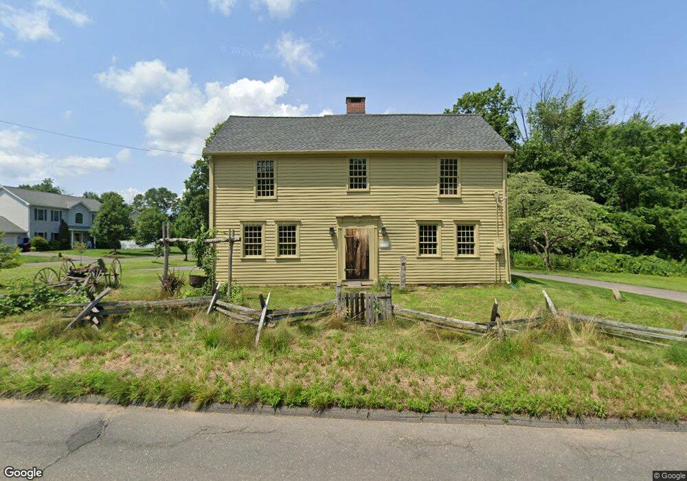
20 Burlington Rd Unionville, CT 06085
Estimated Value: $407,325 - $500,000
3
Beds
1
Bath
1,890
Sq Ft
$243/Sq Ft
Est. Value
About This Home
This home is located at 20 Burlington Rd, Unionville, CT 06085 and is currently estimated at $458,581, approximately $242 per square foot. 20 Burlington Rd is a home located in Hartford County with nearby schools including West Woods Upper Elementary School, Irving A. Robbins Middle School, and Farmington High School.
Ownership History
Date
Name
Owned For
Owner Type
Purchase Details
Closed on
Jan 26, 2007
Sold by
Bank Of New York
Bought by
Morawski Michael and Morawski Susan
Current Estimated Value
Purchase Details
Closed on
Jul 26, 2006
Sold by
Easton Eric J and Easton Andrea
Bought by
Americas Wholesale Len
Purchase Details
Closed on
Oct 12, 2004
Sold by
Unique Bldrs Con Inc
Bought by
Easton Eric J and Easton Andrea
Create a Home Valuation Report for This Property
The Home Valuation Report is an in-depth analysis detailing your home's value as well as a comparison with similar homes in the area
Home Values in the Area
Average Home Value in this Area
Purchase History
| Date | Buyer | Sale Price | Title Company |
|---|---|---|---|
| Morawski Michael | $220,000 | -- | |
| Americas Wholesale Len | $239,000 | -- | |
| Easton Eric J | $215,000 | -- |
Source: Public Records
Mortgage History
| Date | Status | Borrower | Loan Amount |
|---|---|---|---|
| Open | Easton Eric J | $159,700 | |
| Previous Owner | Easton Eric J | $240,300 | |
| Previous Owner | Easton Eric J | $228,000 |
Source: Public Records
Tax History Compared to Growth
Tax History
| Year | Tax Paid | Tax Assessment Tax Assessment Total Assessment is a certain percentage of the fair market value that is determined by local assessors to be the total taxable value of land and additions on the property. | Land | Improvement |
|---|---|---|---|---|
| 2025 | $5,864 | $220,290 | $85,190 | $135,100 |
| 2024 | $5,606 | $220,290 | $85,190 | $135,100 |
| 2023 | $5,333 | $220,290 | $85,190 | $135,100 |
| 2022 | $5,109 | $174,130 | $77,490 | $96,640 |
| 2021 | $5,017 | $174,130 | $77,490 | $96,640 |
| 2020 | $4,870 | $174,130 | $77,490 | $96,640 |
| 2019 | $4,870 | $174,130 | $77,490 | $96,640 |
| 2018 | $4,733 | $174,130 | $77,490 | $96,640 |
| 2017 | $4,838 | $181,340 | $75,940 | $105,400 |
| 2016 | $4,675 | $181,340 | $75,940 | $105,400 |
| 2015 | $4,535 | $181,340 | $75,940 | $105,400 |
| 2014 | $4,432 | $181,360 | $75,950 | $105,410 |
Source: Public Records
Map
Nearby Homes
- 6 Burlington Rd
- 61 Litchfield Rd
- 69 Lake Garda Dr
- 487 Plainville Ave
- 27 Westview Terrace
- 55 Depot Place
- 50 E Shore Blvd
- 31 Railroad Ave
- 17 Pine Dr
- 7 Newcastle Place
- 54 Westview Terrace
- 10 Woodside Dr
- 243 New Britain Ave Unit 243
- 267 New Britain Ave
- 16 Strong St
- 148 River Rd
- 86 Alpine Dr
- 8919 Taine Mountain Rd
- 94 Perry St
- 1622 Farmington Ave Unit 4
- 19 Burlington Rd
- 21 Burlington Rd
- 0 Burlington Rd Unit 170512228
- 17 Burlington Rd
- 26 Burlington Rd
- 1 Valerie Ln
- 2 Valerie Ln
- 4 Valerie Ln
- 3 Valerie Ln
- 1 Valerie Ln
- 3 Valerie Ln
- 58 Westmeath Ln
- 4 Valerie Ln
- 9458 W Meath Ln
- 12 Burlington Rd
- 64 Westmeath Ln
- 10 Burlington Rd
- 41 Westmeath Ln
- 42 Westmeath Ln
- 29 Burlington Rd