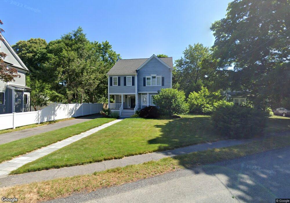
20 Burnside Rd Needham Heights, MA 02494
Estimated Value: $1,320,000 - $1,739,000
4
Beds
3
Baths
1,356
Sq Ft
$1,128/Sq Ft
Est. Value
About This Home
This home is located at 20 Burnside Rd, Needham Heights, MA 02494 and is currently estimated at $1,530,076, approximately $1,128 per square foot. 20 Burnside Rd is a home located in Norfolk County with nearby schools including Mitchell Elementary School, High Rock Middle School, and Pollard Middle School.
Ownership History
Date
Name
Owned For
Owner Type
Purchase Details
Closed on
Jun 30, 2017
Sold by
Broido David and Dickerman Paula
Bought by
David A Broido 2017 T
Current Estimated Value
Purchase Details
Closed on
Jun 28, 1999
Sold by
Slicklen Bldrs Inc
Bought by
Broido David
Purchase Details
Closed on
Sep 29, 1998
Sold by
Holland Cherie G and Holland Barry W
Bought by
Slicklen Bldrs Inc
Create a Home Valuation Report for This Property
The Home Valuation Report is an in-depth analysis detailing your home's value as well as a comparison with similar homes in the area
Home Values in the Area
Average Home Value in this Area
Purchase History
We collect this data history from publicly available records. To have your information removed, we recommend requesting removal directly through your county’s website.
| Date | Buyer | Sale Price | Title Company |
|---|---|---|---|
| David A Broido 2017 T | -- | -- | |
| Broido David | $568,000 | -- | |
| Slicklen Bldrs Inc | $260,000 | -- |
Source: Public Records
Mortgage History
We collect this data history from publicly available records. To have your information removed, we recommend requesting removal directly through your county’s website.
| Date | Status | Borrower | Loan Amount |
|---|---|---|---|
| Previous Owner | Slicklen Bldrs Inc | $192,000 | |
| Previous Owner | Slicklen Bldrs Inc | $200,000 | |
| Previous Owner | Slicklen Bldrs Inc | $40,000 |
Source: Public Records
Tax History
| Year | Tax Paid | Tax Assessment Tax Assessment Total Assessment is a certain percentage of the fair market value that is determined by local assessors to be the total taxable value of land and additions on the property. | Land | Improvement |
|---|---|---|---|---|
| 2025 | $11,599 | $1,094,200 | $777,800 | $316,400 |
| 2024 | $12,584 | $1,005,100 | $584,500 | $420,600 |
| 2023 | $12,500 | $958,600 | $584,500 | $374,100 |
| 2022 | $12,044 | $900,800 | $541,500 | $359,300 |
| 2021 | $11,737 | $900,800 | $541,500 | $359,300 |
| 2020 | $11,543 | $924,200 | $541,500 | $382,700 |
| 2019 | $10,672 | $861,300 | $492,600 | $368,700 |
| 2018 | $10,232 | $861,300 | $492,600 | $368,700 |
| 2017 | $9,719 | $817,400 | $492,600 | $324,800 |
| 2016 | $9,433 | $817,400 | $492,600 | $324,800 |
| 2015 | $9,228 | $817,400 | $492,600 | $324,800 |
| 2014 | $8,667 | $744,600 | $428,800 | $315,800 |
Source: Public Records
Map
Nearby Homes
- 42 Woodbine Cir
- 29 Parker Rd
- 100 Woodbine Cir
- 108 Woodbine Cir
- 785 Highland Ave
- 143 Hunting Rd
- 134 Hillside Ave Unit 134
- 140 Hillside Ave
- 140 Hillside Ave Unit a
- 72 Putnam St
- 170 West St Unit 170
- 170 West St
- 18 Avon Cir
- 20 Crescent Rd Unit 20
- 56 Crescent Rd
- 56 Crescent Rd Unit 56
- 447 Hillside Ave
- 4 Park River St
- 23 Cheney St
- 11 Greenough St
Your Personal Tour Guide
Ask me questions while you tour the home.