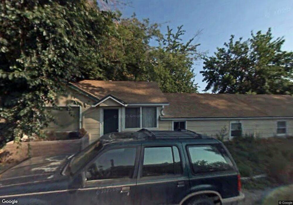
20 Butte Ln Unit 20 & 20A Marsing, ID 83639
3
Beds
1
Bath
1,330
Sq Ft
6,970
Sq Ft Lot
About This Home
This home is located at 20 Butte Ln Unit 20 & 20A, Marsing, ID 83639. 20 Butte Ln Unit 20 & 20A is a home located in Owyhee County.
Ownership History
Date
Name
Owned For
Owner Type
Purchase Details
Closed on
Apr 9, 2021
Sold by
Ramos Robert L and Ramos Donna J
Bought by
Martinez Luis
Home Financials for this Owner
Home Financials are based on the most recent Mortgage that was taken out on this home.
Original Mortgage
$263,920
Outstanding Balance
$236,855
Interest Rate
2.9%
Mortgage Type
New Conventional
Purchase Details
Closed on
Jul 23, 2007
Sold by
Wilson George P and Wilson Margarita
Bought by
Ramos Robert L
Home Financials for this Owner
Home Financials are based on the most recent Mortgage that was taken out on this home.
Original Mortgage
$79,500
Interest Rate
6.66%
Mortgage Type
New Conventional
Create a Home Valuation Report for This Property
The Home Valuation Report is an in-depth analysis detailing your home's value as well as a comparison with similar homes in the area
Home Values in the Area
Average Home Value in this Area
Purchase History
| Date | Buyer | Sale Price | Title Company |
|---|---|---|---|
| Martinez Luis | -- | Alliance Ttl Boise Productio | |
| Ramos Robert L | -- | -- |
Source: Public Records
Mortgage History
| Date | Status | Borrower | Loan Amount |
|---|---|---|---|
| Open | Martinez Luis | $263,920 | |
| Previous Owner | Ramos Robert L | $79,500 |
Source: Public Records
Tax History Compared to Growth
Tax History
| Year | Tax Paid | Tax Assessment Tax Assessment Total Assessment is a certain percentage of the fair market value that is determined by local assessors to be the total taxable value of land and additions on the property. | Land | Improvement |
|---|---|---|---|---|
| 2024 | $2,518 | $266,449 | $52,629 | $213,820 |
| 2023 | $2,190 | $249,429 | $52,629 | $196,800 |
| 2022 | $2,268 | $249,429 | $52,629 | $196,800 |
| 2021 | $1,362 | $170,751 | $45,531 | $125,220 |
| 2020 | $1,159 | $129,934 | $33,782 | $96,152 |
| 2019 | $1,195 | $115,662 | $33,782 | $81,880 |
| 2018 | $1,078 | $115,252 | $28,152 | $87,100 |
| 2017 | $797 | $96,222 | $28,152 | $68,070 |
| 2016 | $658 | $57,904 | $23,085 | $34,819 |
| 2014 | $483 | $47,011 | $18,299 | $28,712 |
| 2011 | -- | $39,120 | $10,200 | $28,920 |
Source: Public Records
Map
Nearby Homes
- 405 Live Oak Ave
- Poison Creek Rd
- 224 Motzko St
- TBD Canal St
- 7253 Riverview Dr
- 540 Morning Dove Way
- 311 Riverview Dr
- 928 W Main St
- 309 River View Dr
- 20056 Sunny Slope Rd
- TBD N Bruneau Rd
- 20477 Lowell Rd
- 6708 Sunset Ln
- 13366 Chicken Dinner Rd
- 20264 John Ln
- 18227 Southlake Cir
- TBD Oak River Ln
- 11326 W Rio Rd
- 10430 Randall Ln
- TBD Manzanita Ln - Parcel 3