Estimated Value: $92,580 - $136,000
2
Beds
1
Bath
1,315
Sq Ft
$90/Sq Ft
Est. Value
About This Home
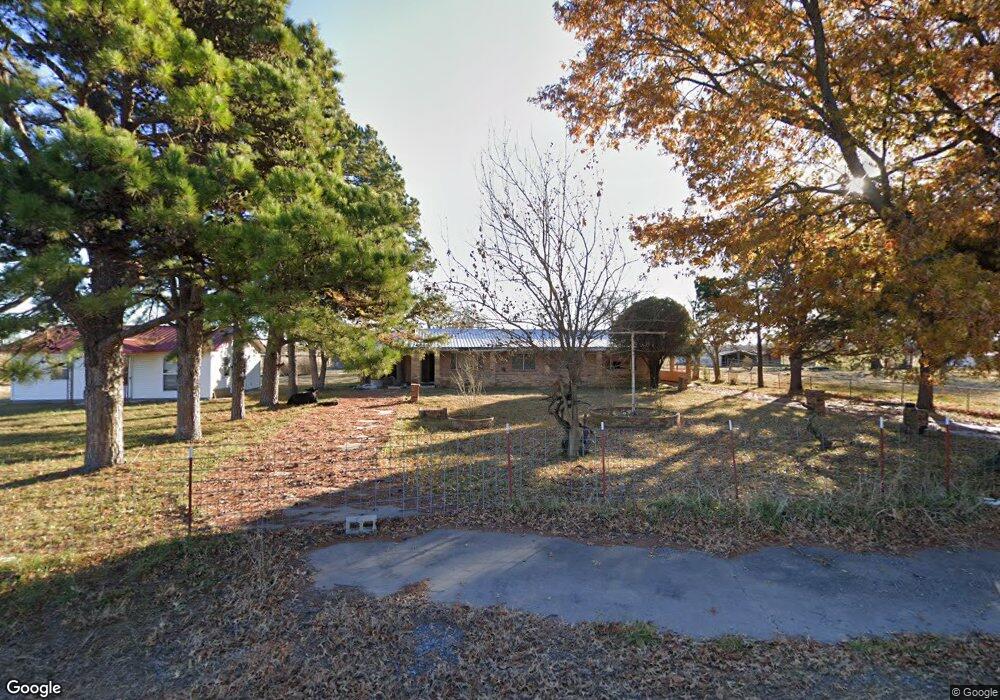
This home is located at 20 Bynum Rd, Kiowa, OK 74553 and is currently estimated at $117,895, approximately $89 per square foot. 20 Bynum Rd is a home with nearby schools including Kiowa High School.
Ownership History
Date
Name
Owned For
Owner Type
Purchase Details
Closed on
Jan 22, 2024
Sold by
Williams Terry Don and Williams Teresa Kaye
Bought by
Williams Terry Don and Williams Teresa Kaye
Current Estimated Value
Purchase Details
Closed on
Apr 12, 2013
Sold by
Schiller Plunkett
Bought by
Scott David J and Scott Jeremy L
Purchase Details
Closed on
Dec 28, 2006
Sold by
Scott David Jacob and Scott Shirley
Bought by
Schiller Plunkett
Create a Home Valuation Report for This Property
The Home Valuation Report is an in-depth analysis detailing your home's value as well as a comparison with similar homes in the area
Home Values in the Area
Average Home Value in this Area
Purchase History
| Date | Buyer | Sale Price | Title Company |
|---|---|---|---|
| Williams Terry Don | -- | None Listed On Document | |
| Smith Glynda Sue | -- | None Listed On Document | |
| Smith Glynda Sue | -- | None Listed On Document | |
| Porter Brenda | -- | None Listed On Document | |
| Porter Brenda | -- | None Listed On Document | |
| Hughes Randy S | -- | None Listed On Document | |
| Hughes Randy S | -- | None Listed On Document | |
| Scott David J | -- | None Available | |
| Schiller Plunkett | -- | None Available |
Source: Public Records
Tax History Compared to Growth
Tax History
| Year | Tax Paid | Tax Assessment Tax Assessment Total Assessment is a certain percentage of the fair market value that is determined by local assessors to be the total taxable value of land and additions on the property. | Land | Improvement |
|---|---|---|---|---|
| 2024 | $591 | $7,845 | $271 | $7,574 |
| 2023 | $591 | $271 | $271 | $0 |
| 2022 | $20 | $271 | $271 | $0 |
| 2021 | $20 | $271 | $271 | $0 |
| 2020 | $20 | $271 | $271 | $0 |
| 2019 | $20 | $271 | $271 | $0 |
| 2018 | $20 | $271 | $271 | $0 |
| 2017 | $20 | $271 | $271 | $0 |
| 2016 | $20 | $271 | $271 | $0 |
| 2015 | $233 | $3,088 | $15 | $3,073 |
| 2014 | $233 | $3,088 | $15 | $3,073 |
Source: Public Records
Map
Nearby Homes
- 16379 N Highway 69
- 0 N Highway 69
- 630 S Oyama St
- 803 S Jackson St
- 31 8th St
- 644 S Dewey St
- 1032 Cherry St
- 707 W 9th St
- 18639 S Us Highway 69
- 19118 U S 69
- 609 First St
- 6363 S Brewer Rd
- 210 4th St
- 00 Adele Rd
- 0 Patton Unit 2538586
- 438 S Taylor
- 0 S Brewer Rd Unit 2503451
- 0 S Brewer Rd Unit 2503395
- 303 Chickasaw
- 189 S Brewer Rd
- 118 Bynum Rd
- 16379 S Us Highway 69
- 11989 E Daniel Dr
- 160 N Polk St
- 16215 S Us Highway 69
- 120 N Lee St
- 144 N Polk St
- 147 N Polk St
- 82 N Polk St
- 438 W 3rd St
- 298 W 3rd St
- 3442 State Highway 63
- 107 W First St
- 345 W 3rd St
- 1811 Nightingale Cir
- 321 S Van Buren St
- 130 N Johnson St
- 309 S Jackson St
- 226 S Roosevelt St
- 401 W 4th St