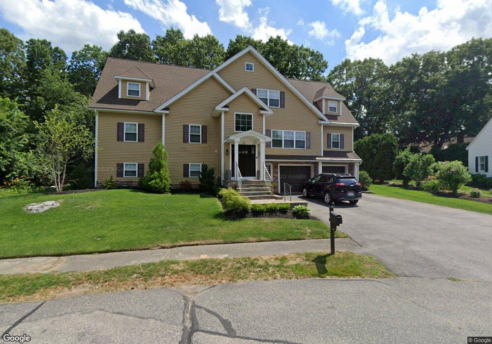
20 Canavan Cir Needham, MA 02492
Estimated Value: $1,176,000 - $2,308,173
3
Beds
3
Baths
1,700
Sq Ft
$1,045/Sq Ft
Est. Value
About This Home
This home is located at 20 Canavan Cir, Needham, MA 02492 and is currently estimated at $1,776,043, approximately $1,044 per square foot. 20 Canavan Cir is a home located in Norfolk County with nearby schools including Newman Elementary School, High Rock Middle School, and Pollard Middle School.
Ownership History
Date
Name
Owned For
Owner Type
Purchase Details
Closed on
Jun 10, 2013
Sold by
Berger David S and Berger Barbara F
Bought by
Berger Cary and Berger Melissa
Current Estimated Value
Home Financials for this Owner
Home Financials are based on the most recent Mortgage that was taken out on this home.
Original Mortgage
$259,000
Outstanding Balance
$183,117
Interest Rate
3.43%
Mortgage Type
New Conventional
Estimated Equity
$1,592,926
Purchase Details
Closed on
Jul 15, 2009
Sold by
Berger Cary and Berger Melissa
Bought by
Berger Cary and Berger Melissa
Purchase Details
Closed on
May 26, 2005
Sold by
Dwyer Helen F and Flynn Janice
Bought by
Berger Cary and Berger Melissa
Home Financials for this Owner
Home Financials are based on the most recent Mortgage that was taken out on this home.
Original Mortgage
$300,000
Interest Rate
5.94%
Mortgage Type
Purchase Money Mortgage
Create a Home Valuation Report for This Property
The Home Valuation Report is an in-depth analysis detailing your home's value as well as a comparison with similar homes in the area
Home Values in the Area
Average Home Value in this Area
Purchase History
We collect this data history from publicly available records. To have your information removed, we recommend requesting removal directly through your county’s website.
| Date | Buyer | Sale Price | Title Company |
|---|---|---|---|
| Berger Cary | -- | -- | |
| Berger Cary | -- | -- | |
| Berger Cary | -- | -- | |
| Berger Cary | -- | -- | |
| Berger Cary | -- | -- | |
| Berger Cary | $690,725 | -- | |
| Berger Cary | $690,725 | -- |
Source: Public Records
Mortgage History
We collect this data history from publicly available records. To have your information removed, we recommend requesting removal directly through your county’s website.
| Date | Status | Borrower | Loan Amount |
|---|---|---|---|
| Open | Berger Cary | $259,000 | |
| Closed | Berger Cary | $259,000 | |
| Previous Owner | Berger Cary | $300,000 |
Source: Public Records
Tax History
| Year | Tax Paid | Tax Assessment Tax Assessment Total Assessment is a certain percentage of the fair market value that is determined by local assessors to be the total taxable value of land and additions on the property. | Land | Improvement |
|---|---|---|---|---|
| 2025 | $22,540 | $2,126,400 | $795,800 | $1,330,600 |
| 2024 | $19,959 | $1,594,200 | $574,200 | $1,020,000 |
| 2023 | $19,681 | $1,509,300 | $574,200 | $935,100 |
| 2022 | $18,731 | $1,401,000 | $512,700 | $888,300 |
| 2021 | $18,255 | $1,401,000 | $512,700 | $888,300 |
| 2020 | $17,651 | $1,413,200 | $512,600 | $900,600 |
| 2019 | $14,320 | $1,155,800 | $466,000 | $689,800 |
| 2018 | $13,538 | $1,139,600 | $466,000 | $673,600 |
| 2017 | $9,841 | $827,700 | $466,000 | $361,700 |
| 2016 | $9,552 | $827,700 | $466,000 | $361,700 |
Source: Public Records
Map
Nearby Homes
- 1480 Great Plain Ave
- 17 Sunrise Terrace
- 1069 Central Ave
- 620 High Rock St
- 122 Great Plain Ave
- 34 Pond St
- 11 Skyline Dr
- 1360 Great Plain Ave
- 1362 Great Plain Ave Unit 1
- 52 Hancock Rd
- 27 Rolling Ln
- 98 Bridle Trail Rd
- 5 Colonial Rd
- 22 Barrett St
- 98 Brook St
- 72 Marked Tree Rd
- 81 Parish Rd
- 222 Grove St
- 114 Parish Rd
- 105 Blake St
- 12 Canavan Cir
- 6 Canavan Cir
- 93 Standish Rd
- 101 Standish Rd
- 105 Alden Rd
- 87 Standish Rd
- 163 Standish Rd
- 15 Canavan Cir
- 109 Standish Rd
- 26 Canavan Cir
- 3 Canavan Cir
- 84 Stewart Rd
- 171 Standish Rd
- 157 Standish Rd
- 29 Canavan Cir
- 85 Stewart Rd
- 94 Standish Rd
- 77 Standish Rd
- 115 Standish Rd
- 102 Standish Rd
Your Personal Tour Guide
Ask me questions while you tour the home.