20 Carnation Cir Unit B Reading, MA 01867
Estimated Value: $720,000 - $814,000
2
Beds
2
Baths
2,000
Sq Ft
$381/Sq Ft
Est. Value
About This Home
This home is located at 20 Carnation Cir Unit B, Reading, MA 01867 and is currently estimated at $762,229, approximately $381 per square foot. 20 Carnation Cir Unit B is a home located in Middlesex County with nearby schools including J. Warren Killam Elementary School, Walter S. Parker Middle School, and Reading Memorial High School.
Ownership History
Date
Name
Owned For
Owner Type
Purchase Details
Closed on
Mar 2, 2015
Sold by
Thisle Rosemarie and Oconnell Denis
Bought by
S Thistle R and Oconnell D
Current Estimated Value
Purchase Details
Closed on
Jan 3, 2007
Sold by
Carnation Circle Rt
Bought by
Oconnell Denis and Thistle Rosemarie
Home Financials for this Owner
Home Financials are based on the most recent Mortgage that was taken out on this home.
Original Mortgage
$344,000
Interest Rate
6.24%
Mortgage Type
Purchase Money Mortgage
Purchase Details
Closed on
Jul 19, 1994
Sold by
Greenhouse Acres Lp
Bought by
Capstick Richard C and Capstick Sheri
Home Financials for this Owner
Home Financials are based on the most recent Mortgage that was taken out on this home.
Original Mortgage
$65,000
Interest Rate
8.51%
Mortgage Type
Purchase Money Mortgage
Create a Home Valuation Report for This Property
The Home Valuation Report is an in-depth analysis detailing your home's value as well as a comparison with similar homes in the area
Home Values in the Area
Average Home Value in this Area
Purchase History
| Date | Buyer | Sale Price | Title Company |
|---|---|---|---|
| S Thistle R | -- | -- | |
| Oconnell Denis | $430,000 | -- | |
| Capstick Richard C | $181,940 | -- |
Source: Public Records
Mortgage History
| Date | Status | Borrower | Loan Amount |
|---|---|---|---|
| Previous Owner | Capstick Richard C | $240,000 | |
| Previous Owner | Oconnell Denis | $344,000 | |
| Previous Owner | Capstick Richard C | $86,000 | |
| Previous Owner | Capstick Richard C | $65,000 |
Source: Public Records
Tax History Compared to Growth
Tax History
| Year | Tax Paid | Tax Assessment Tax Assessment Total Assessment is a certain percentage of the fair market value that is determined by local assessors to be the total taxable value of land and additions on the property. | Land | Improvement |
|---|---|---|---|---|
| 2025 | $7,376 | $647,600 | $0 | $647,600 |
| 2024 | $7,445 | $635,200 | $0 | $635,200 |
| 2023 | $7,317 | $581,200 | $0 | $581,200 |
| 2022 | $7,194 | $539,700 | $0 | $539,700 |
| 2021 | $7,210 | $522,100 | $0 | $522,100 |
| 2020 | $7,165 | $513,600 | $0 | $513,600 |
| 2019 | $6,976 | $490,200 | $0 | $490,200 |
| 2018 | $6,799 | $490,200 | $0 | $490,200 |
| 2017 | $6,551 | $466,900 | $0 | $466,900 |
| 2016 | $5,546 | $382,500 | $0 | $382,500 |
| 2015 | $5,623 | $382,500 | $0 | $382,500 |
| 2014 | $5,638 | $382,500 | $0 | $382,500 |
Source: Public Records
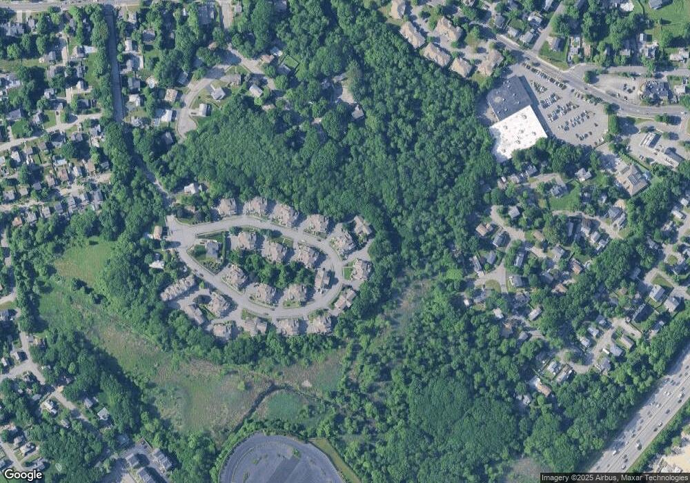
Map
Nearby Homes
- 7 Carnation Cir Unit C
- 73 Track Rd
- 10 Eaton St
- 41 Winter St
- 50 Quannapowitt Pkwy
- 1 Charles St Unit N
- 347 Ash St
- 863 Main St
- 856 Main St
- 35 Park Ave
- 270 Lowell St
- 4 Mcdonald Farm Rd
- 44 Grandview Rd
- 103 High St
- 77 Mount Vernon St
- 2 Summit Dr Unit 18
- 29 Cordis St
- 40 Friend St
- 48 Cordis St
- 25 Woodward Ave
- 20 Carnation Cir Unit D
- 20 Carnation Cir Unit C
- 20 Carnation Cir Unit A
- 22 Carnation Cir Unit D
- 22 Carnation Cir Unit C
- 22 Carnation Cir Unit B
- 22 Carnation Cir Unit A
- 22 C Carnation Cir Unit C
- 22 Carnation Cir Unit A 22
- 18 Carnation Cir Unit D
- 18 Carnation Cir Unit C
- 18 Carnation Cir Unit B
- 18 Carnation Cir Unit A
- 24 Carnation Cir Unit D
- 24 Carnation Cir Unit C
- 24 Carnation Cir Unit B
- 24 Carnation Cir Unit A
- 24 Carnation Cir Unit B 24
- 9 Carnation Cir Unit D
- 9 Carnation Cir Unit C