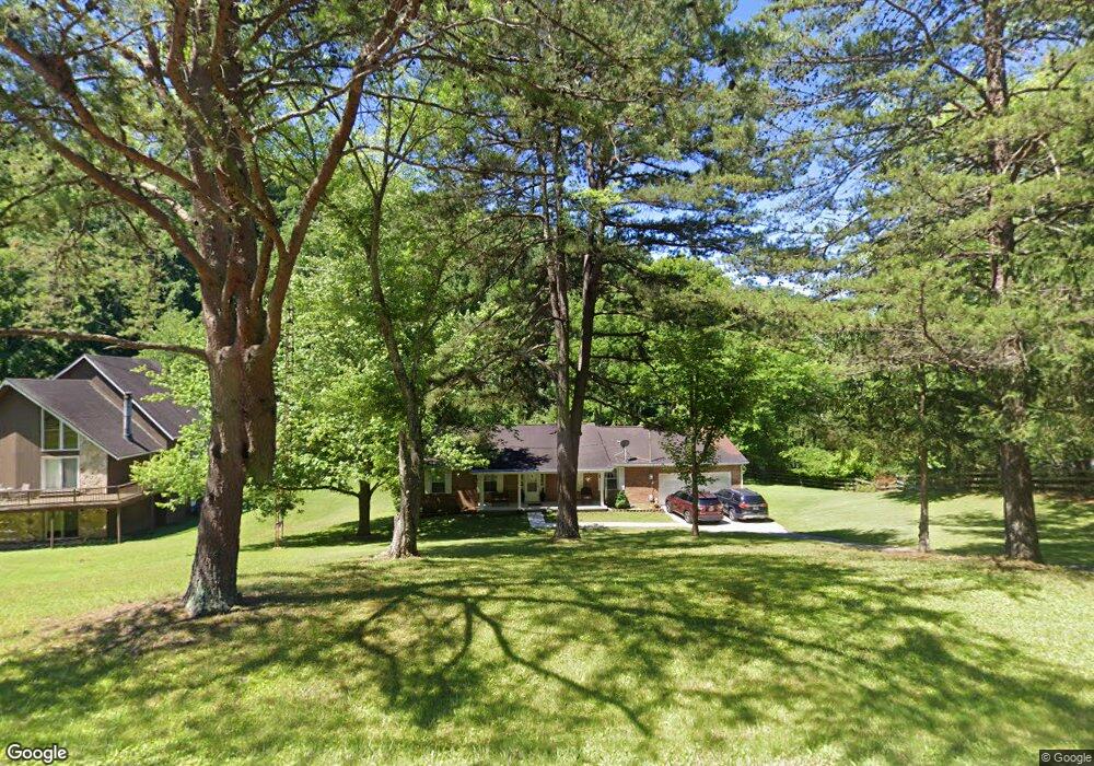
20 Carol Dr Unit A Hurricane, WV 25526
Estimated Value: $323,000 - $400,000
3
Beds
3
Baths
2,656
Sq Ft
$135/Sq Ft
Est. Value
About This Home
This home is located at 20 Carol Dr Unit A, Hurricane, WV 25526 and is currently estimated at $357,709, approximately $134 per square foot. 20 Carol Dr Unit A is a home located in Putnam County with nearby schools including Calvary Baptist Academy and Teays Valley Christian School.
Ownership History
Date
Name
Owned For
Owner Type
Purchase Details
Closed on
Sep 10, 2018
Sold by
White Scott and White Jill
Bought by
Cook Brian A
Current Estimated Value
Home Financials for this Owner
Home Financials are based on the most recent Mortgage that was taken out on this home.
Original Mortgage
$203,535
Outstanding Balance
$177,129
Interest Rate
4.5%
Mortgage Type
New Conventional
Estimated Equity
$180,580
Purchase Details
Closed on
Apr 26, 2006
Sold by
Deutsche Bank Trust Company Americas
Bought by
White Scott and White Jill
Create a Home Valuation Report for This Property
The Home Valuation Report is an in-depth analysis detailing your home's value as well as a comparison with similar homes in the area
Home Values in the Area
Average Home Value in this Area
Purchase History
| Date | Buyer | Sale Price | Title Company |
|---|---|---|---|
| Cook Brian A | $201,500 | None Available | |
| White Scott | $134,000 | -- |
Source: Public Records
Mortgage History
| Date | Status | Borrower | Loan Amount |
|---|---|---|---|
| Open | Cook Brian A | $203,535 |
Source: Public Records
Tax History Compared to Growth
Tax History
| Year | Tax Paid | Tax Assessment Tax Assessment Total Assessment is a certain percentage of the fair market value that is determined by local assessors to be the total taxable value of land and additions on the property. | Land | Improvement |
|---|---|---|---|---|
| 2024 | $1,520 | $110,670 | $17,970 | $92,700 |
| 2023 | $1,247 | $107,490 | $17,550 | $89,940 |
| 2022 | $1,260 | $104,490 | $17,250 | $87,240 |
| 2021 | $1,232 | $101,730 | $16,530 | $85,200 |
| 2020 | $1,087 | $89,850 | $13,770 | $76,080 |
| 2019 | $1,051 | $85,590 | $13,770 | $71,820 |
| 2018 | $1,048 | $85,110 | $13,770 | $71,340 |
| 2017 | $1,045 | $84,210 | $13,770 | $70,440 |
| 2016 | $846 | $67,800 | $13,740 | $54,060 |
| 2015 | $832 | $66,150 | $13,740 | $52,410 |
| 2014 | $788 | $62,730 | $7,980 | $54,750 |
Source: Public Records
Map
Nearby Homes
- 13 Lynn Ln
- 25 Lynn Ln
- 1070 Teays Ln
- 16 Chemar Dr
- 20 Carriage Way
- 3 Charlo Acres - Sable Point Dr
- 140 Leslie Place
- 413 Lyman Ln
- 0 Station Place Way
- 1018
- 116 Knights Ct
- 1014 Wethersfield Crossing
- 201 Weatheridge Dr
- 209 Maplewood Estates
- 4016 Chelsea Crossing
- 0 Gables Dr
- 37 Cedar Dr
- 10 Cordoba Dr
- 104 Lynn Knolls
- 3005 Mount Vernon Rd