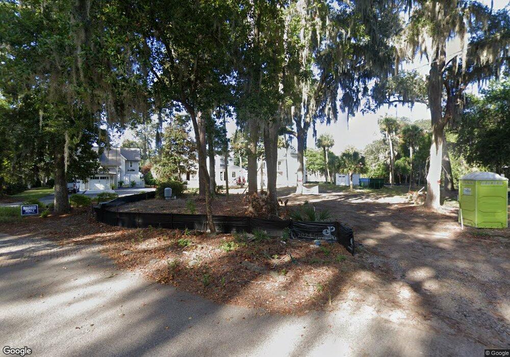
20 Castle Point Rd Bluffton, SC 29910
Estimated Value: $1,618,000 - $2,833,000
3
Beds
4
Baths
1,268
Sq Ft
$1,763/Sq Ft
Est. Value
About This Home
This home is located at 20 Castle Point Rd, Bluffton, SC 29910 and is currently estimated at $2,236,081, approximately $1,763 per square foot. 20 Castle Point Rd is a home located in Beaufort County with nearby schools including Michael C. Riley Elementary School, Bluffton Middle School, and Bluffton High School.
Ownership History
Date
Name
Owned For
Owner Type
Purchase Details
Closed on
Mar 28, 2023
Sold by
B Town Holdings Llc
Bought by
Greene Kym M
Current Estimated Value
Purchase Details
Closed on
Nov 10, 2020
Sold by
Ryan Donald Rance and Kathleen R Mew Revocable Trust
Bought by
Phillips Land Management Llc
Purchase Details
Closed on
Aug 17, 2016
Sold by
Kathleen R Mew
Bought by
Ryan Donald Rance
Purchase Details
Closed on
May 10, 2012
Sold by
Mew Kathleen R
Bought by
Mew Kathleen R and The Kathleen R Mew Revocable Trust
Purchase Details
Closed on
Sep 25, 2006
Sold by
Mew Kathleen R
Bought by
Mew Kathleen R
Create a Home Valuation Report for This Property
The Home Valuation Report is an in-depth analysis detailing your home's value as well as a comparison with similar homes in the area
Purchase History
| Date | Buyer | Sale Price | Title Company |
|---|---|---|---|
| Greene Kym M | -- | -- | |
| Phillips Land Management Llc | $1,575,000 | None Available | |
| Ryan Donald Rance | -- | Attorney | |
| Mew Kathleen R | -- | -- | |
| Mew Kathleen R | -- | None Available |
Source: Public Records
Tax History Compared to Growth
Tax History
| Year | Tax Paid | Tax Assessment Tax Assessment Total Assessment is a certain percentage of the fair market value that is determined by local assessors to be the total taxable value of land and additions on the property. | Land | Improvement |
|---|---|---|---|---|
| 2024 | $33,565 | $109,390 | $0 | $0 |
| 2023 | $26,747 | $109,390 | $0 | $0 |
| 2022 | $15,295 | $60,150 | $0 | $0 |
| 2021 | $23,609 | $94,500 | $0 | $0 |
| 2020 | $11,353 | $46,700 | $0 | $0 |
| 2019 | $11,154 | $46,700 | $0 | $0 |
| 2018 | $10,578 | $46,700 | $0 | $0 |
| 2017 | $10,358 | $43,830 | $0 | $0 |
| 2016 | $4,511 | $31,850 | $0 | $0 |
| 2014 | $3,083 | $31,850 | $0 | $0 |
Source: Public Records
Map
Nearby Homes
- 131 Pritchard St
- 70 Pritchard St Unit B
- 70 Pritchard St Unit A
- 3 Devonwood Ct
- 69 Green St
- 20 Kirk Bluff Rd
- 9 Golden Poppy Ln
- 56 Pritchard St
- 54 Pritchard St
- 171 Burnt Church Rd
- 25 Maiden Ln
- 27 Maiden Ln
- 38 Boundary St
- 6 Nanny Cove Rd
- 27 Calhoun St
- 3 Tabby Shell Rd
- 30 Tabby Shell Rd
- 8 Church St
- 34 Tabby Shell Rd
- 8 Wild Spartina St
- 16 Castle Point Rd
- 18 Castle Point Rd
- 22 Castle Point
- 24 Castle Point Rd
- 44 Minuteman Dr
- 44 Minuteman Dr
- 42 Minuteman Dr
- 40 Minuteman Dr
- 42 Alljoy Rd
- 26 Castle Point Rd
- 000 Castle Point
- 12 Castle Point Rd
- 46 Alljoy Rd
- 43 Minuteman Dr
- 48 Alljoy Rd
- 48 Castle Point Rd
- 38 Minuteman Dr
- 36 All Joy Rd
- 8 Castle Point Rd
- 8 Castle Point Rd
