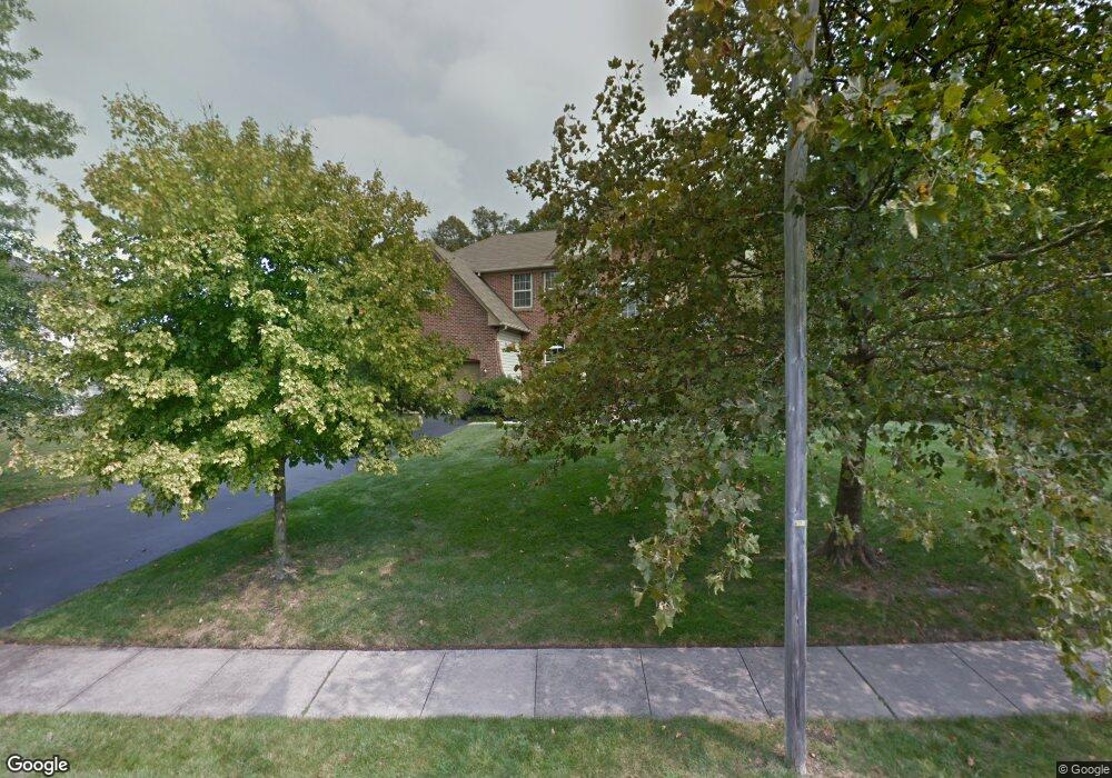
20 Cattail Dr Mount Laurel, NJ 08054
Estimated Value: $654,000 - $901,000
--
Bed
--
Bath
2,498
Sq Ft
$313/Sq Ft
Est. Value
About This Home
This home is located at 20 Cattail Dr, Mount Laurel, NJ 08054 and is currently estimated at $781,808, approximately $312 per square foot. 20 Cattail Dr is a home located in Burlington County with nearby schools including Hillside Elementary School, T.E. Harrington Middle School, and Mount Laurel Hartford School.
Ownership History
Date
Name
Owned For
Owner Type
Purchase Details
Closed on
Jan 9, 2017
Sold by
Robert Geneleve and Roberts Nicholas
Bought by
Roberts Genevieve S and Roberts Nichols C
Current Estimated Value
Home Financials for this Owner
Home Financials are based on the most recent Mortgage that was taken out on this home.
Original Mortgage
$392,410
Outstanding Balance
$322,547
Interest Rate
4.03%
Mortgage Type
New Conventional
Estimated Equity
$459,261
Purchase Details
Closed on
Sep 4, 2003
Sold by
Goldglantz Genevieve
Bought by
Roberts Nicholas and Goldglantz Genevieve
Home Financials for this Owner
Home Financials are based on the most recent Mortgage that was taken out on this home.
Original Mortgage
$338,000
Interest Rate
6.29%
Mortgage Type
Purchase Money Mortgage
Purchase Details
Closed on
May 2, 1996
Sold by
Hovbros Corp
Bought by
Goldglantz Genevieve
Create a Home Valuation Report for This Property
The Home Valuation Report is an in-depth analysis detailing your home's value as well as a comparison with similar homes in the area
Home Values in the Area
Average Home Value in this Area
Purchase History
| Date | Buyer | Sale Price | Title Company |
|---|---|---|---|
| Roberts Genevieve S | -- | None Available | |
| Roberts Nicholas | -- | Lenders Edge Title | |
| Goldglantz Genevieve | $268,734 | -- |
Source: Public Records
Mortgage History
| Date | Status | Borrower | Loan Amount |
|---|---|---|---|
| Open | Roberts Genevieve S | $392,410 | |
| Closed | Roberts Nicholas | $338,000 |
Source: Public Records
Tax History Compared to Growth
Tax History
| Year | Tax Paid | Tax Assessment Tax Assessment Total Assessment is a certain percentage of the fair market value that is determined by local assessors to be the total taxable value of land and additions on the property. | Land | Improvement |
|---|---|---|---|---|
| 2025 | $14,071 | $445,700 | $137,800 | $307,900 |
| 2024 | $13,540 | $445,700 | $137,800 | $307,900 |
| 2023 | $13,540 | $445,700 | $137,800 | $307,900 |
| 2022 | $13,496 | $445,700 | $137,800 | $307,900 |
| 2021 | $13,242 | $445,700 | $137,800 | $307,900 |
| 2020 | $12,983 | $445,700 | $137,800 | $307,900 |
| 2019 | $12,850 | $445,700 | $137,800 | $307,900 |
| 2018 | $12,751 | $445,700 | $137,800 | $307,900 |
| 2017 | $12,422 | $445,700 | $137,800 | $307,900 |
| 2016 | $12,234 | $445,700 | $137,800 | $307,900 |
| 2015 | $12,092 | $445,700 | $137,800 | $307,900 |
| 2014 | $11,972 | $445,700 | $137,800 | $307,900 |
Source: Public Records
Map
Nearby Homes
- 89 Peppergrass Dr S
- 71 Peppergrass Dr S
- 15 Pecan Ct
- 7 Buttonbush Ct
- 420 Elderberry Ct
- 10 Yarrow Place
- 422 Elderberry Ct
- 132 Peppergrass Dr S
- 8 Raven Ct
- 17 Peppergrass Dr N
- 212 Dogwood Dr
- 1 Adner Dr
- 10 Gretna Ct
- 124 W Berwin Way
- 1302 Ginger Dr
- 1201A Ginger Ct
- 23 Emory Ln
- 11 E Berwin Way
- 3 Abington Rd
- 23 E Oleander Dr