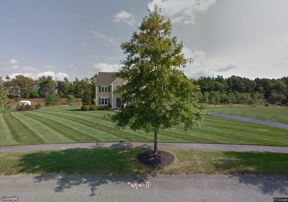
20 Cedar Pond Rd Lakeville, MA 02347
Estimated Value: $840,709 - $1,003,000
4
Beds
3
Baths
2,980
Sq Ft
$314/Sq Ft
Est. Value
About This Home
This home is located at 20 Cedar Pond Rd, Lakeville, MA 02347 and is currently estimated at $934,427, approximately $313 per square foot. 20 Cedar Pond Rd is a home located in Plymouth County with nearby schools including Assawompset Elementary School, George R Austin Intermediate School, and Freetown-Lakeville Middle School.
Ownership History
Date
Name
Owned For
Owner Type
Purchase Details
Closed on
Mar 18, 2022
Sold by
Sweet Scott D and Sweet Lisa J
Bought by
Sweet Lt
Current Estimated Value
Purchase Details
Closed on
Nov 17, 2006
Sold by
Qbi Homes Inc
Bought by
Sweet Scott J and Sweet Lisa J
Create a Home Valuation Report for This Property
The Home Valuation Report is an in-depth analysis detailing your home's value as well as a comparison with similar homes in the area
Home Values in the Area
Average Home Value in this Area
Purchase History
| Date | Buyer | Sale Price | Title Company |
|---|---|---|---|
| Sweet Lt | -- | None Available | |
| Sweet Scott J | $635,516 | -- |
Source: Public Records
Mortgage History
| Date | Status | Borrower | Loan Amount |
|---|---|---|---|
| Previous Owner | Sweet Scott J | $40,000 | |
| Previous Owner | Sweet Scott J | $417,000 | |
| Previous Owner | Sweet Scott J | $25,000 | |
| Previous Owner | Sweet Scott J | $415,000 |
Source: Public Records
Tax History Compared to Growth
Tax History
| Year | Tax Paid | Tax Assessment Tax Assessment Total Assessment is a certain percentage of the fair market value that is determined by local assessors to be the total taxable value of land and additions on the property. | Land | Improvement |
|---|---|---|---|---|
| 2025 | $8,191 | $791,400 | $211,800 | $579,600 |
| 2024 | $8,067 | $764,600 | $207,600 | $557,000 |
| 2023 | $7,835 | $702,700 | $197,600 | $505,100 |
| 2022 | $7,914 | $655,700 | $203,000 | $452,700 |
| 2021 | $7,621 | $596,800 | $179,800 | $417,000 |
| 2020 | $7,473 | $572,200 | $174,100 | $398,100 |
| 2019 | $7,134 | $536,400 | $167,500 | $368,900 |
| 2018 | $7,003 | $515,300 | $156,100 | $359,200 |
| 2017 | $6,629 | $478,300 | $158,000 | $320,300 |
| 2016 | $6,470 | $457,900 | $150,500 | $307,400 |
| 2015 | $6,405 | $449,500 | $161,600 | $287,900 |
Source: Public Records
Map
Nearby Homes
- 2 Ron Cir
- 22 Cedar Pond Rd
- 22 Cedar Pond Rd Unit 31
- 16 Cedar Pond Rd
- 24 Cedar Pond Rd
- 3 Ron Cir
- 1 Ron Cir
- 15 Cedar Pond Rd
- 14 Cedar Pond Rd
- 13 Cedar Pond Rd
- 12 Cedar Pond Rd
- 10 Cedar Pond Rd
- 27 Long Point Rd
- 11 Cedar Pond Rd
- 25 Long Point Rd
- 23 Long Point Rd
- 8 Cedar Pond Rd
- 21 Long Point Rd
- 9 Cedar Pond Rd
- 19 Long Point Rd