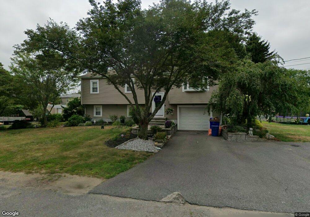
20 Center St East Taunton, MA 02718
East Taunton NeighborhoodEstimated Value: $487,967 - $569,000
3
Beds
1
Bath
1,384
Sq Ft
$378/Sq Ft
Est. Value
About This Home
This home is located at 20 Center St, East Taunton, MA 02718 and is currently estimated at $522,742, approximately $377 per square foot. 20 Center St is a home located in Bristol County with nearby schools including East Taunton Elementary School, Joseph H. Martin, and Taunton High School.
Ownership History
Date
Name
Owned For
Owner Type
Purchase Details
Closed on
Feb 1, 2000
Sold by
Pereira William T and Perreira Carla E
Bought by
Secatore Debra L
Current Estimated Value
Home Financials for this Owner
Home Financials are based on the most recent Mortgage that was taken out on this home.
Original Mortgage
$161,800
Outstanding Balance
$52,197
Interest Rate
7.83%
Mortgage Type
Purchase Money Mortgage
Estimated Equity
$470,545
Create a Home Valuation Report for This Property
The Home Valuation Report is an in-depth analysis detailing your home's value as well as a comparison with similar homes in the area
Home Values in the Area
Average Home Value in this Area
Purchase History
| Date | Buyer | Sale Price | Title Company |
|---|---|---|---|
| Secatore Debra L | $157,800 | -- |
Source: Public Records
Mortgage History
| Date | Status | Borrower | Loan Amount |
|---|---|---|---|
| Open | Secatore Debra L | $161,800 | |
| Previous Owner | Secatore Debra L | $20,000 |
Source: Public Records
Tax History Compared to Growth
Tax History
| Year | Tax Paid | Tax Assessment Tax Assessment Total Assessment is a certain percentage of the fair market value that is determined by local assessors to be the total taxable value of land and additions on the property. | Land | Improvement |
|---|---|---|---|---|
| 2025 | $4,465 | $408,100 | $115,500 | $292,600 |
| 2024 | $4,069 | $363,600 | $115,500 | $248,100 |
| 2023 | $4,057 | $336,700 | $115,500 | $221,200 |
| 2022 | $3,912 | $296,800 | $96,300 | $200,500 |
| 2021 | $3,773 | $265,700 | $87,500 | $178,200 |
| 2020 | $3,679 | $247,600 | $87,500 | $160,100 |
| 2019 | $3,748 | $237,800 | $87,500 | $150,300 |
| 2018 | $3,559 | $226,400 | $88,400 | $138,000 |
| 2017 | $3,318 | $211,200 | $83,800 | $127,400 |
| 2016 | $55 | $3,500 | $3,500 | $0 |
| 2015 | $53 | $3,500 | $3,500 | $0 |
| 2014 | $50 | $3,400 | $3,400 | $0 |
Source: Public Records
Map
Nearby Homes
- 96 Old Colony Ave Unit 264
- 96 Old Colony Ave Unit 153
- 96 Old Colony Ave Unit 313
- 79 Liberty St
- 649 Middleboro Ave
- 15 Carlton St
- 147 Colonial Dr
- 218R Hart St Unit B
- 218R Hart St Unit A
- 125R Middleboro Ave
- 203 Bluejay Ln
- 172 Bumila Dr
- 31 Bruno's Way Unit A
- 526 Caswell St
- 138 Pine Tree Ln
- 2 Emerald Place
- 3 Anna St
- 2 Anna St
- 6 Emerald Place
- 61 Tucker Terrace
- 3 Ferrier St
- 319 Middleboro Ave
- 323 Middleboro Ave
- 23 Center St
- 80 Fairbanks Ave
- 325 Middleboro Ave
- 305 Middleboro Ave
- 97 Fairbanks Ave
- 18 Ferrier St
- 22 Ferrier St
- 99 Fairbanks Ave
- 20 Wynne St
- 314 Middleboro Ave
- 301 Middleboro Ave
- 102 Fairbanks Ave
- 308 Middleboro Ave
- 318 Middleboro Ave
- 318 Middleboro Ave Unit 318
- 341 Middleboro Ave
- 324 Middleboro Ave