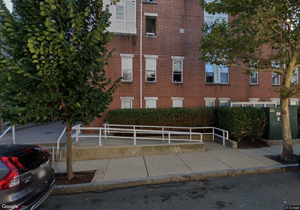
20 Chestnut St Unit 61 Cambridge, MA 02139
Cambridgeport NeighborhoodEstimated Value: $846,696 - $926,000
2
Beds
2
Baths
1,041
Sq Ft
$843/Sq Ft
Est. Value
About This Home
This home is located at 20 Chestnut St Unit 61, Cambridge, MA 02139 and is currently estimated at $877,424, approximately $842 per square foot. 20 Chestnut St Unit 61 is a home located in Middlesex County with nearby schools including Prospect Hill Academy Charter School, New England Hebrew Academy, and Boston University Academy.
Ownership History
Date
Name
Owned For
Owner Type
Purchase Details
Closed on
Sep 25, 1992
Sold by
Cres Rlty Co Cambridge
Bought by
Ralston Stephanie J and Khurana Rakesh
Current Estimated Value
Home Financials for this Owner
Home Financials are based on the most recent Mortgage that was taken out on this home.
Original Mortgage
$124,000
Interest Rate
7.9%
Mortgage Type
Purchase Money Mortgage
Create a Home Valuation Report for This Property
The Home Valuation Report is an in-depth analysis detailing your home's value as well as a comparison with similar homes in the area
Home Values in the Area
Average Home Value in this Area
Purchase History
| Date | Buyer | Sale Price | Title Company |
|---|---|---|---|
| Ralston Stephanie J | $155,000 | -- |
Source: Public Records
Mortgage History
| Date | Status | Borrower | Loan Amount |
|---|---|---|---|
| Closed | Ralston Stephanie J | $124,000 |
Source: Public Records
Tax History Compared to Growth
Tax History
| Year | Tax Paid | Tax Assessment Tax Assessment Total Assessment is a certain percentage of the fair market value that is determined by local assessors to be the total taxable value of land and additions on the property. | Land | Improvement |
|---|---|---|---|---|
| 2025 | $4,750 | $748,000 | $0 | $748,000 |
| 2024 | $4,390 | $741,600 | $0 | $741,600 |
| 2023 | $4,222 | $720,500 | $0 | $720,500 |
| 2022 | $4,209 | $711,000 | $0 | $711,000 |
| 2021 | $4,046 | $691,600 | $0 | $691,600 |
| 2020 | $4,032 | $701,200 | $0 | $701,200 |
| 2019 | $3,877 | $652,700 | $0 | $652,700 |
| 2018 | $3,784 | $601,600 | $0 | $601,600 |
| 2017 | $3,656 | $563,300 | $0 | $563,300 |
| 2016 | $3,517 | $503,100 | $0 | $503,100 |
| 2015 | $3,494 | $446,800 | $0 | $446,800 |
| 2014 | $3,465 | $413,500 | $0 | $413,500 |
Source: Public Records
Map
Nearby Homes
- 260 Sidney St Unit 3R
- 594 Putnam Ave Unit 2
- 161 Hamilton St
- 214 Allston St
- 131 Erie St Unit 3
- 131 Erie St
- 174 Hamilton St
- 125 Brookline St Unit 4
- 120 Pleasant St Unit 1
- 8 Watson St Unit 8
- 6-8 Watson St Unit 8
- 127 Auburn St
- 129 Auburn St
- 1 Jay St
- 180 Ivy St
- 19 Thatcher St Unit E13
- 194 Green St Unit 194
- 73 River St Unit 4B
- 178 Ivy St
- 566 Commonwealth Ave Unit L101
- 20 Chestnut St Unit 503
- 20 Chestnut St Unit 2
- 20 Chestnut St Unit 72
- 20 Chestnut St Unit 71
- 20 Chestnut St Unit 70
- 20 Chestnut St Unit 69
- 20 Chestnut St Unit 68
- 20 Chestnut St Unit 67
- 20 Chestnut St Unit 66
- 20 Chestnut St Unit 65
- 20 Chestnut St Unit 64
- 20 Chestnut St Unit 63
- 20 Chestnut St Unit 62
- 20 Chestnut St Unit 60
- 20 Chestnut St Unit 59
- 20 Chestnut St Unit 58
- 20 Chestnut St Unit 57
- 20 Chestnut St Unit 55
- 20 Chestnut St Unit 54
- 20 Chestnut St Unit 52