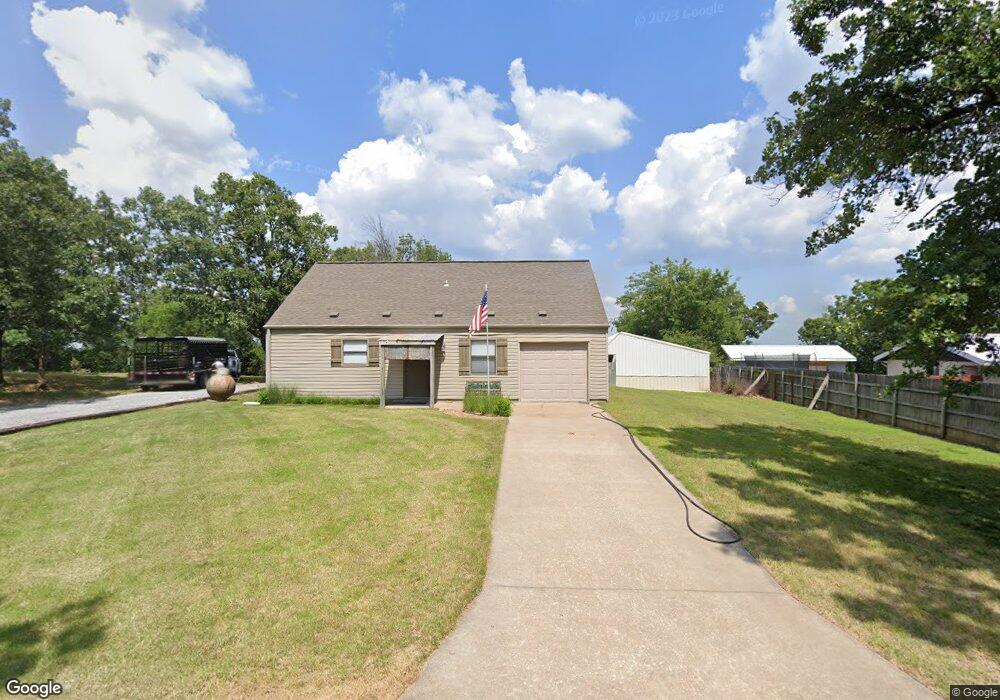
20 Chouteau Trail Locust Grove, OK 74352
Estimated Value: $165,715 - $218,000
2
Beds
1
Bath
1,278
Sq Ft
$156/Sq Ft
Est. Value
About This Home
This home is located at 20 Chouteau Trail, Locust Grove, OK 74352 and is currently estimated at $199,679, approximately $156 per square foot. 20 Chouteau Trail is a home located in Mayes County with nearby schools including Locust Grove Early Lrning Center, Locust Grove Upper Elementary School, and Locust Grove Middle School.
Ownership History
Date
Name
Owned For
Owner Type
Purchase Details
Closed on
Aug 10, 2004
Sold by
Thompson Gordon
Bought by
Thompson Gordon
Current Estimated Value
Purchase Details
Closed on
Mar 1, 2004
Sold by
Beattie Richard
Bought by
Thompson Gordan
Purchase Details
Closed on
Jan 23, 2004
Sold by
Huebert Jason
Bought by
Beattie Richard
Purchase Details
Closed on
Dec 6, 1995
Sold by
Beattie Richard D
Bought by
Huebert Jason
Create a Home Valuation Report for This Property
The Home Valuation Report is an in-depth analysis detailing your home's value as well as a comparison with similar homes in the area
Home Values in the Area
Average Home Value in this Area
Purchase History
| Date | Buyer | Sale Price | Title Company |
|---|---|---|---|
| Thompson Gordon | $5,000 | -- | |
| Thompson Gordan | $10,000 | -- | |
| Beattie Richard | -- | -- | |
| Huebert Jason | $22,000 | -- |
Source: Public Records
Tax History Compared to Growth
Tax History
| Year | Tax Paid | Tax Assessment Tax Assessment Total Assessment is a certain percentage of the fair market value that is determined by local assessors to be the total taxable value of land and additions on the property. | Land | Improvement |
|---|---|---|---|---|
| 2025 | $841 | $10,343 | $1,002 | $9,341 |
| 2024 | $841 | $10,043 | $973 | $9,070 |
| 2023 | $841 | $9,750 | $941 | $8,809 |
| 2022 | $764 | $9,466 | $906 | $8,560 |
| 2021 | $755 | $9,190 | $861 | $8,329 |
| 2020 | $741 | $8,923 | $817 | $8,106 |
| 2019 | $717 | $8,664 | $762 | $7,902 |
| 2018 | $732 | $8,664 | $762 | $7,902 |
| 2017 | $732 | $8,664 | $762 | $7,902 |
| 2016 | $715 | $8,664 | $762 | $7,902 |
| 2015 | $738 | $8,663 | $762 | $7,901 |
| 2014 | $738 | $8,663 | $762 | $7,901 |
Source: Public Records
Map
Nearby Homes
- 7862 S 436
- 0 N 435 Rd Unit 2524163
- 0 N 435 Rd Unit 2545167
- 381 S 437
- 1436 E 550
- 2940 E 560 Rd
- 1819 E 600
- 207 Orange St
- 0 Orange St
- 2365 Deer Run
- 981 Elm Cir
- 0 Peach St
- 801 N Osage Ave
- 0 S 043 Rd Unit 2512653
- 1 N Navajo Ave
- 3170 W 577
- 000 Earl Smith Rd
- 310 W Harrison
- 10171 U S Highway 412
- 1 W Ross St