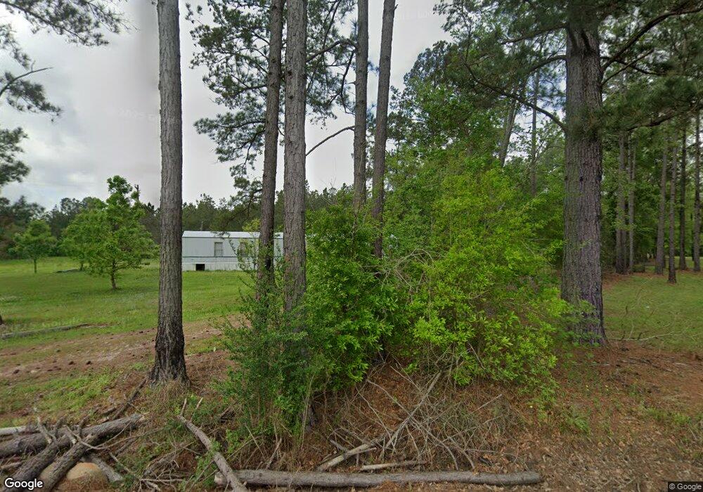
20 Cleo Stanley Rd Oakdale, LA 71463
Estimated Value: $61,000 - $107,000
2
Beds
1
Bath
1,046
Sq Ft
$79/Sq Ft
Est. Value
About This Home
This home is located at 20 Cleo Stanley Rd, Oakdale, LA 71463 and is currently estimated at $82,775, approximately $79 per square foot. 20 Cleo Stanley Rd is a home located in Rapides Parish with nearby schools including Glenmora High School.
Ownership History
Date
Name
Owned For
Owner Type
Purchase Details
Closed on
Sep 21, 2021
Sold by
Lee Jones Edgar
Bought by
Duplantis Timothy P and Duplantis Stephanie Landry
Current Estimated Value
Purchase Details
Closed on
Apr 1, 2021
Sold by
Jones Gerald Dewayne
Bought by
Jones Edgar Lee
Purchase Details
Closed on
Sep 24, 2020
Sold by
Chelette Jerry D
Bought by
Jones Gerald Dewayne
Purchase Details
Closed on
Jan 26, 2015
Sold by
Stanley Cleo and Stanley Wilda J
Bought by
Jones Gerald D and Chelette Jerry D
Home Financials for this Owner
Home Financials are based on the most recent Mortgage that was taken out on this home.
Original Mortgage
$3,521,931
Interest Rate
3.89%
Mortgage Type
New Conventional
Create a Home Valuation Report for This Property
The Home Valuation Report is an in-depth analysis detailing your home's value as well as a comparison with similar homes in the area
Home Values in the Area
Average Home Value in this Area
Purchase History
| Date | Buyer | Sale Price | Title Company |
|---|---|---|---|
| Duplantis Timothy P | $8,000 | None Listed On Document | |
| Jones Edgar Lee | $6,500 | None Available | |
| Jones Gerald Dewayne | $3,500 | None Available | |
| Jones Gerald D | $40,000 | -- |
Source: Public Records
Mortgage History
| Date | Status | Borrower | Loan Amount |
|---|---|---|---|
| Previous Owner | Jones Gerald D | $3,521,931 |
Source: Public Records
Tax History Compared to Growth
Tax History
| Year | Tax Paid | Tax Assessment Tax Assessment Total Assessment is a certain percentage of the fair market value that is determined by local assessors to be the total taxable value of land and additions on the property. | Land | Improvement |
|---|---|---|---|---|
| 2024 | $1,173 | $4,400 | $400 | $4,000 |
| 2023 | $1,135 | $4,200 | $400 | $3,800 |
| 2022 | $1,162 | $4,200 | $400 | $3,800 |
| 2021 | $1,157 | $4,200 | $400 | $3,800 |
| 2020 | $1,119 | $4,200 | $400 | $3,800 |
| 2019 | $1,044 | $4,000 | $400 | $3,600 |
| 2018 | $0 | $4,000 | $430 | $3,570 |
| 2017 | $0 | $4,000 | $430 | $3,570 |
| 2016 | $1,088 | $4,000 | $430 | $3,570 |
| 2015 | $790 | $4,000 | $430 | $3,570 |
Source: Public Records
Map
Nearby Homes
- 0 E River Rd Unit 2480949
- Lot 5 Avon Willis Rd
- Lot 4 Avon Willis Rd
- 0 Louisiana 113
- 0 Martin Luther King Ave
- 513 10th Ave
- 12456 Highway 165 S
- 0 McNary Cutoff Lot 3 Rd
- 0 0 Highway 165 None Unit 2500525
- 0 McNary Cutoff Lot 2 Rd
- 0 McNary Cutoff Lot 1 Rd
- 819 Highway 497
- 0 7th Ave
- 0 Sunset Unit 2509045
- 1614 7th Ave
- 0 Johnson Rd Unit 23138083
- 0 Johnson Rd Unit 23138350
- 0 Moreno Rd Unit 19808082
- TBD-11 acres Tatoo Rd
- TBD 25 acres Tatoo Rd