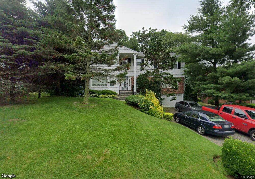
20 Colony Ln Manhasset, NY 11030
Munsey Park NeighborhoodEstimated Value: $2,259,899
--
Bed
4
Baths
2,954
Sq Ft
$765/Sq Ft
Est. Value
About This Home
This home is located at 20 Colony Ln, Manhasset, NY 11030 and is currently estimated at $2,259,899, approximately $765 per square foot. 20 Colony Ln is a home located in Nassau County with nearby schools including Manhasset Secondary School, St Mary's Elementary School, and Our Lady of Grace Montessori School.
Ownership History
Date
Name
Owned For
Owner Type
Purchase Details
Closed on
Apr 5, 2024
Sold by
Burkett Michael
Bought by
Burkett Michael and Admoni Galit
Current Estimated Value
Purchase Details
Closed on
Sep 15, 2021
Sold by
Burkett Despina
Bought by
Burkett Michael
Purchase Details
Closed on
Sep 4, 2019
Sold by
Amato Amanda Grace
Bought by
Burkett Despina
Purchase Details
Closed on
Jun 6, 2016
Sold by
Burkett Despina
Bought by
Amato Amanda Grace
Create a Home Valuation Report for This Property
The Home Valuation Report is an in-depth analysis detailing your home's value as well as a comparison with similar homes in the area
Home Values in the Area
Average Home Value in this Area
Purchase History
| Date | Buyer | Sale Price | Title Company |
|---|---|---|---|
| Burkett Michael | -- | None Available | |
| Burkett Michael | -- | None Available | |
| Burkett Michael | -- | None Available | |
| Burkett Michael | -- | None Available | |
| Burkett Michael | -- | None Available | |
| Burkett Despina | -- | None Available | |
| Burkett Despina | -- | None Available | |
| Burkett Despina | -- | None Available | |
| Amato Amanda Grace | -- | The Judicial Title Insurance | |
| Amato Amanda Grace | -- | The Judicial Title Insurance | |
| Amato Amanda Grace | -- | The Judicial Title Insurance |
Source: Public Records
Tax History Compared to Growth
Tax History
| Year | Tax Paid | Tax Assessment Tax Assessment Total Assessment is a certain percentage of the fair market value that is determined by local assessors to be the total taxable value of land and additions on the property. | Land | Improvement |
|---|---|---|---|---|
| 2025 | $25,585 | $1,716 | $650 | $1,066 |
| 2024 | $6,573 | $1,619 | $650 | $969 |
| 2023 | $18,498 | $1,528 | $567 | $961 |
| 2022 | $18,498 | $1,751 | $650 | $1,101 |
| 2021 | $17,676 | $1,784 | $662 | $1,122 |
| 2020 | $17,415 | $1,986 | $1,370 | $616 |
| 2019 | $17,449 | $2,127 | $1,467 | $660 |
| 2018 | $17,449 | $2,193 | $0 | $0 |
| 2017 | $11,328 | $2,193 | $1,482 | $711 |
| 2016 | $16,744 | $2,239 | $1,513 | $726 |
| 2015 | $4,728 | $2,239 | $1,513 | $726 |
| 2014 | $4,728 | $2,239 | $1,513 | $726 |
| 2013 | $5,019 | $2,239 | $1,513 | $726 |
Source: Public Records
Map
Nearby Homes
- 305 Nassau Ave
- 39 Hawthorne Place
- 60 Thayer Rd
- 90 Gaynor Ave
- 44 Old ox Rd
- 17 Pinewood Rd
- 15 Gaynor Ave Unit 2H
- 50 Eakins Rd
- 53 Stuart Place
- 4 Kimson Ct
- 414 Hunt Ln
- 65 Old Mill Rd
- 17 Highland Terrace
- 30 Bonnie Heights Rd
- 539 Manhasset Woods Rd
- 191 Elderfields Rd
- 80 Clapham Ave
- 42 Mora Ct
- 59 Colonial Dr
- 14 Combes Dr