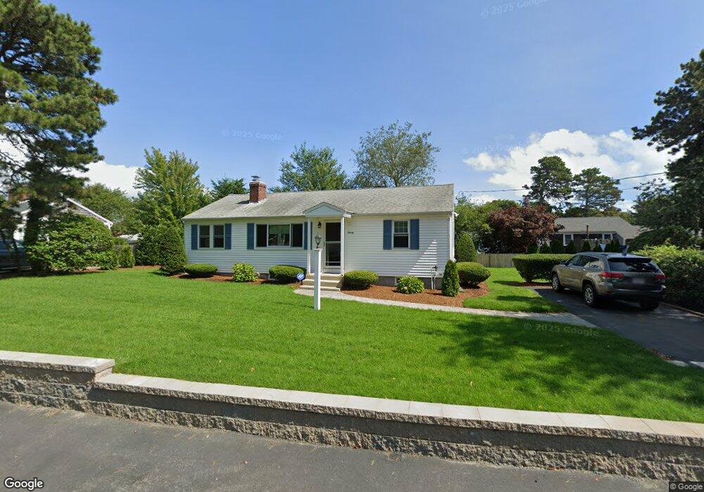
20 Colony Rd Dennis Port, MA 02639
Dennis Port NeighborhoodEstimated Value: $556,000 - $645,000
3
Beds
1
Bath
984
Sq Ft
$606/Sq Ft
Est. Value
About This Home
This home is located at 20 Colony Rd, Dennis Port, MA 02639 and is currently estimated at $596,237, approximately $605 per square foot. 20 Colony Rd is a home located in Barnstable County with nearby schools including Dennis-Yarmouth Regional High School and St. Pius X. School.
Ownership History
Date
Name
Owned For
Owner Type
Purchase Details
Closed on
Nov 8, 2021
Sold by
Ranieri Nancy A and Ranieri Alfred A
Bought by
Ranieri Rt
Current Estimated Value
Purchase Details
Closed on
Jan 29, 1993
Sold by
Casey James F
Bought by
Ranieri Nancy Ann and Ranieri Alfred A
Home Financials for this Owner
Home Financials are based on the most recent Mortgage that was taken out on this home.
Original Mortgage
$88,000
Interest Rate
8.16%
Mortgage Type
Purchase Money Mortgage
Create a Home Valuation Report for This Property
The Home Valuation Report is an in-depth analysis detailing your home's value as well as a comparison with similar homes in the area
Home Values in the Area
Average Home Value in this Area
Purchase History
| Date | Buyer | Sale Price | Title Company |
|---|---|---|---|
| Ranieri Rt | -- | None Available | |
| Ranieri Nancy Ann | $110,000 | -- |
Source: Public Records
Mortgage History
| Date | Status | Borrower | Loan Amount |
|---|---|---|---|
| Previous Owner | Ranieri Nancy Ann | $88,000 |
Source: Public Records
Tax History Compared to Growth
Tax History
| Year | Tax Paid | Tax Assessment Tax Assessment Total Assessment is a certain percentage of the fair market value that is determined by local assessors to be the total taxable value of land and additions on the property. | Land | Improvement |
|---|---|---|---|---|
| 2025 | $2,559 | $591,000 | $198,700 | $392,300 |
| 2024 | $2,385 | $543,200 | $191,100 | $352,100 |
| 2023 | $2,306 | $493,800 | $173,700 | $320,100 |
| 2022 | $2,168 | $387,200 | $156,500 | $230,700 |
| 2021 | $2,201 | $365,000 | $175,400 | $189,600 |
| 2020 | $1,985 | $325,400 | $153,400 | $172,000 |
| 2019 | $1,872 | $303,400 | $150,400 | $153,000 |
| 2018 | $1,778 | $280,500 | $143,200 | $137,300 |
| 2017 | $1,635 | $265,900 | $133,000 | $132,900 |
| 2016 | $1,668 | $255,500 | $143,200 | $112,300 |
| 2015 | $1,635 | $255,500 | $143,200 | $112,300 |
| 2014 | $1,493 | $235,100 | $122,800 | $112,300 |
Source: Public Records
Map
Nearby Homes
- 19 Standish Way
- 4 Coffey Ln
- 71 Main St
- 125 Main St Unit 3
- 22 Wixon Rd
- 12 Spoonbill Rd
- 72 Bassett Ln
- 80 Michaels Ave
- 268 Main St
- 31 Easy St
- 95 Center St
- 15 Woodside Park Rd
- 26 Center St
- 78 Upper County Rd Unit A&B
- 78 Upper County Rd
- 20 Aunt Debbys Rd
- 3 Pinefield Ln
- 24 Indian Trail
- 12 Candlewood Ln Unit 2-9
- 37 Ocean Dr Unit 2