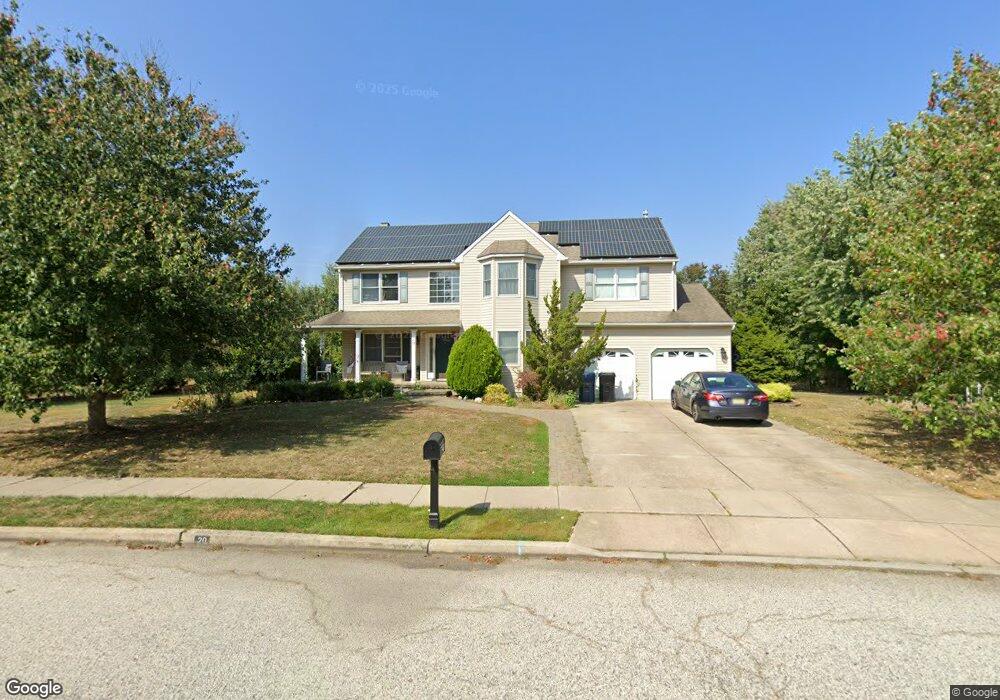
20 Colson Ln Mullica Hill, NJ 08062
Estimated Value: $538,000 - $612,000
--
Bed
--
Bath
2,380
Sq Ft
$239/Sq Ft
Est. Value
About This Home
This home is located at 20 Colson Ln, Mullica Hill, NJ 08062 and is currently estimated at $568,337, approximately $238 per square foot. 20 Colson Ln is a home located in Gloucester County with nearby schools including Harrison Township Elementary School, Pleasant Valley School, and Clearview Regional Middle School.
Ownership History
Date
Name
Owned For
Owner Type
Purchase Details
Closed on
Feb 13, 2004
Sold by
Lumpkin Joseph P and Lumpkin Jennifer B
Bought by
Lumpkin Joseph P and Lumpkin Jennifer B
Current Estimated Value
Home Financials for this Owner
Home Financials are based on the most recent Mortgage that was taken out on this home.
Original Mortgage
$104,000
Interest Rate
5.62%
Mortgage Type
New Conventional
Purchase Details
Closed on
Oct 10, 1994
Sold by
Wolfert Station Associates Inc
Bought by
Lumpkin Joseph P and Lumpkin Jennifer B
Create a Home Valuation Report for This Property
The Home Valuation Report is an in-depth analysis detailing your home's value as well as a comparison with similar homes in the area
Home Values in the Area
Average Home Value in this Area
Purchase History
| Date | Buyer | Sale Price | Title Company |
|---|---|---|---|
| Lumpkin Joseph P | -- | Congress | |
| Lumpkin Joseph P | $178,000 | -- |
Source: Public Records
Mortgage History
| Date | Status | Borrower | Loan Amount |
|---|---|---|---|
| Closed | Lumpkin Joseph P | $104,000 |
Source: Public Records
Tax History Compared to Growth
Tax History
| Year | Tax Paid | Tax Assessment Tax Assessment Total Assessment is a certain percentage of the fair market value that is determined by local assessors to be the total taxable value of land and additions on the property. | Land | Improvement |
|---|---|---|---|---|
| 2025 | $10,677 | $318,900 | $78,200 | $240,700 |
| 2024 | $10,320 | $318,900 | $78,200 | $240,700 |
| 2023 | $10,320 | $318,900 | $78,200 | $240,700 |
| 2022 | $10,218 | $318,900 | $78,200 | $240,700 |
| 2021 | $9,982 | $318,900 | $78,200 | $240,700 |
| 2020 | $9,790 | $318,900 | $78,200 | $240,700 |
| 2019 | $9,497 | $318,900 | $78,200 | $240,700 |
| 2018 | $9,235 | $318,900 | $78,200 | $240,700 |
| 2017 | $9,009 | $318,900 | $78,200 | $240,700 |
| 2016 | $9,245 | $309,200 | $85,700 | $223,500 |
| 2015 | $8,982 | $309,200 | $85,700 | $223,500 |
| 2014 | $8,617 | $309,200 | $85,700 | $223,500 |
Source: Public Records
Map
Nearby Homes
- B 45, L 10.02 Wolfert Station Rd
- L22 Swedesboro Rd
- 59 Messina Loop
- 63 Messina Loop
- 67 Messina Loop
- 71 Messina Loop
- 55 Messina Loop
- 75 Messina Loop
- 127 Karen Ct
- 83 Messina Loop
- 51 Messina Loop
- 47 Messina Loop
- 91 Messina Loop
- 72 Messina Loop
- 76 Messina Loop
- 11 Redkist Dr
- 95 Messina Loop
- 80 Messina Loop
- 81 N Main St
- 9 Redkist Dr