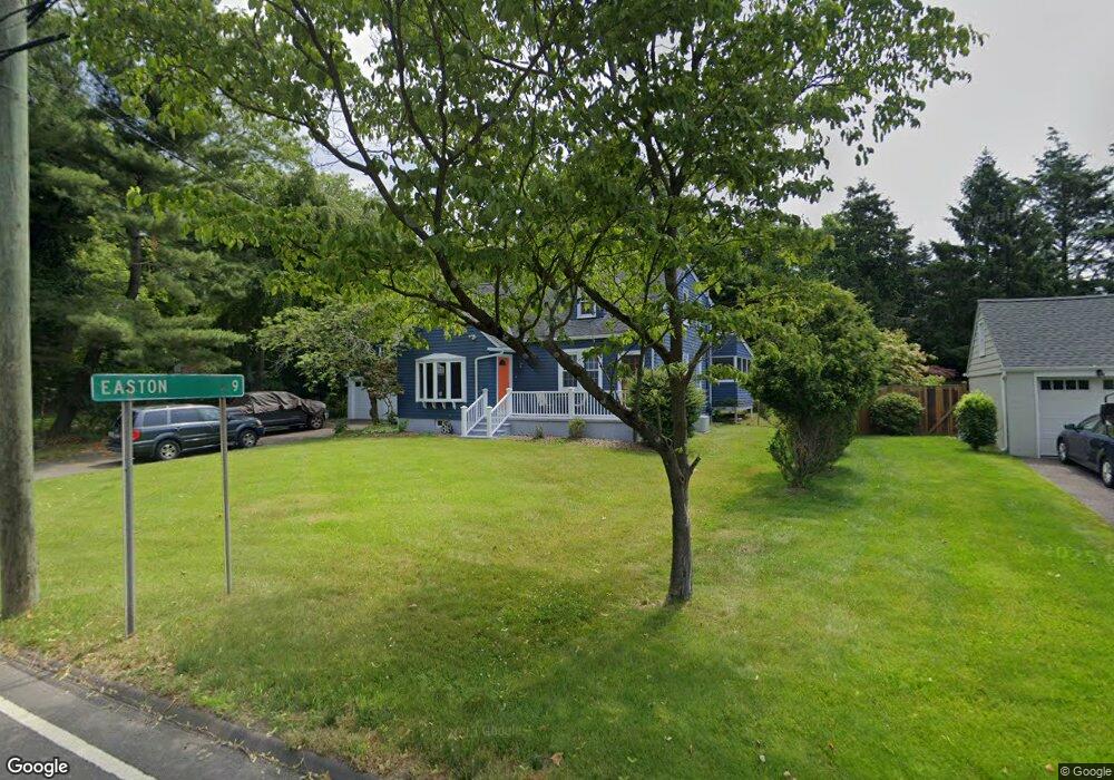
20 Compo Rd N Westport, CT 06880
Staples NeighborhoodEstimated Value: $1,212,000 - $2,770,000
4
Beds
2
Baths
1,847
Sq Ft
$946/Sq Ft
Est. Value
About This Home
This home is located at 20 Compo Rd N, Westport, CT 06880 and is currently estimated at $1,747,283, approximately $946 per square foot. 20 Compo Rd N is a home located in Fairfield County with nearby schools including Saugatuck Elementary School, Bedford Middle School, and Staples High School.
Ownership History
Date
Name
Owned For
Owner Type
Purchase Details
Closed on
Oct 2, 2020
Sold by
Banks Anne
Bought by
Banks Anne and Dan-Udekwe Emeka
Current Estimated Value
Purchase Details
Closed on
Aug 1, 2013
Sold by
Rose Mauro Ret and Mauro Gene
Bought by
Owens Kevin and Owens Amy
Purchase Details
Closed on
Apr 12, 2001
Sold by
Sullivan John and Sullivan Jessica
Bought by
Banks Anne
Home Financials for this Owner
Home Financials are based on the most recent Mortgage that was taken out on this home.
Original Mortgage
$260,000
Interest Rate
6.97%
Purchase Details
Closed on
Mar 3, 1997
Sold by
Schaff Kurt
Bought by
Sullivan John and Sullivan Jessica
Create a Home Valuation Report for This Property
The Home Valuation Report is an in-depth analysis detailing your home's value as well as a comparison with similar homes in the area
Home Values in the Area
Average Home Value in this Area
Purchase History
| Date | Buyer | Sale Price | Title Company |
|---|---|---|---|
| Banks Anne | -- | None Available | |
| Banks Anne | -- | None Available | |
| Owens Kevin | $410,000 | -- | |
| Banks Anne | $471,000 | -- | |
| Banks Anne | $471,000 | -- | |
| Sullivan John | $300,000 | -- | |
| Sullivan John | $300,000 | -- |
Source: Public Records
Mortgage History
| Date | Status | Borrower | Loan Amount |
|---|---|---|---|
| Previous Owner | Sullivan John | $138,750 | |
| Previous Owner | Sullivan John | $255,000 | |
| Previous Owner | Sullivan John | $260,000 |
Source: Public Records
Tax History
| Year | Tax Paid | Tax Assessment Tax Assessment Total Assessment is a certain percentage of the fair market value that is determined by local assessors to be the total taxable value of land and additions on the property. | Land | Improvement |
|---|---|---|---|---|
| 2025 | $9,449 | $501,000 | $358,100 | $142,900 |
| 2024 | $9,329 | $501,000 | $358,100 | $142,900 |
| 2023 | $9,193 | $501,000 | $358,100 | $142,900 |
| 2022 | $9,053 | $501,000 | $358,100 | $142,900 |
| 2021 | $9,053 | $501,000 | $358,100 | $142,900 |
| 2020 | $9,501 | $568,600 | $367,600 | $201,000 |
| 2019 | $9,587 | $568,600 | $367,600 | $201,000 |
| 2018 | $10,063 | $568,600 | $367,600 | $201,000 |
| 2017 | $9,876 | $568,600 | $367,600 | $201,000 |
| 2016 | $9,587 | $568,600 | $367,600 | $201,000 |
| 2015 | $8,962 | $495,400 | $296,700 | $198,700 |
| 2014 | $8,887 | $495,400 | $296,700 | $198,700 |
Source: Public Records
Map
Nearby Homes
- 9 Crescent Park Rd
- 26 Crescent Park Rd
- 21 Rayfield Rd
- 32 Webb Rd
- 11 Dogwood Ln
- 80 Compo Rd N
- 23 Harborview Rd
- 102 Compo Rd S
- 15 Gorham Ave
- 60 Wilton Rd Unit 2C
- 79 Riverside Ave
- 781 Post Rd E Unit 104
- 783 Post Rd E Unit 201
- 785 Post Rd E Unit 303
- 785 Post Rd E Unit 302
- 785 Post Rd E Unit 304
- 785 Post Rd E Unit 102
- 118 Roseville Rd
- 116 Roseville Rd
- 49 Hillspoint Rd
- 22 Compo Rd N
- 18 Compo Rd N
- 4 Whitney St
- 4 Whitney Street Extension Unit UNO
- 6 Whitney Street Extension
- 16 Compo Rd N
- 24 Compo Rd N
- 7 Whitney Street Extension
- 7 Whitney Street Extension Unit 2
- 7 Whitney Street Exd
- 36 E Main St
- 34 E Main St
- 38 E Main St
- 3 Whitney St
- 4 Winslow Ln
- 4 Smicap Ln
- 20 Whitney Glen
- 51 Whitney Glen
- 17 Whitney Glen
- 51 Whitney Glen Unit 51
Your Personal Tour Guide
Ask me questions while you tour the home.