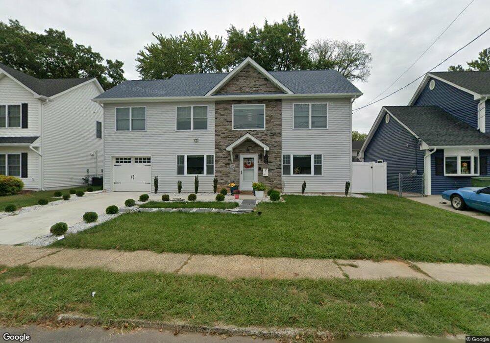
20 Comstock Rd Edison, NJ 08817
Estimated Value: $530,000 - $913,000
3
Beds
1
Bath
2,756
Sq Ft
$271/Sq Ft
Est. Value
About This Home
This home is located at 20 Comstock Rd, Edison, NJ 08817 and is currently estimated at $747,991, approximately $271 per square foot. 20 Comstock Rd is a home located in Middlesex County with nearby schools including Washington Elementary School, Thomas Jefferson Middle School, and Edison High School.
Ownership History
Date
Name
Owned For
Owner Type
Purchase Details
Closed on
Jan 15, 2003
Sold by
Hudak Pauline
Bought by
Yin Jin and Fangtzu Lin
Current Estimated Value
Home Financials for this Owner
Home Financials are based on the most recent Mortgage that was taken out on this home.
Original Mortgage
$110,000
Outstanding Balance
$46,790
Interest Rate
5.98%
Estimated Equity
$701,201
Purchase Details
Closed on
Dec 18, 1998
Sold by
Novak Steve
Bought by
Savoth Pauline
Home Financials for this Owner
Home Financials are based on the most recent Mortgage that was taken out on this home.
Original Mortgage
$113,490
Interest Rate
6.84%
Create a Home Valuation Report for This Property
The Home Valuation Report is an in-depth analysis detailing your home's value as well as a comparison with similar homes in the area
Home Values in the Area
Average Home Value in this Area
Purchase History
| Date | Buyer | Sale Price | Title Company |
|---|---|---|---|
| Yin Jin | $194,000 | -- | |
| Savoth Pauline | $117,000 | -- |
Source: Public Records
Mortgage History
| Date | Status | Borrower | Loan Amount |
|---|---|---|---|
| Open | Yin Jin | $110,000 | |
| Previous Owner | Savoth Pauline | $113,490 |
Source: Public Records
Tax History
| Year | Tax Paid | Tax Assessment Tax Assessment Total Assessment is a certain percentage of the fair market value that is determined by local assessors to be the total taxable value of land and additions on the property. | Land | Improvement |
|---|---|---|---|---|
| 2025 | $7,191 | $276,000 | $74,600 | $201,400 |
| 2024 | $7,153 | $120,800 | $74,600 | $46,200 |
| 2023 | $7,153 | $120,800 | $74,600 | $46,200 |
| 2022 | $7,155 | $120,800 | $74,600 | $46,200 |
| 2021 | $7,131 | $120,800 | $74,600 | $46,200 |
| 2020 | $7,066 | $120,800 | $74,600 | $46,200 |
| 2019 | $6,799 | $120,800 | $74,600 | $46,200 |
| 2018 | $6,634 | $120,800 | $74,600 | $46,200 |
| 2017 | $6,494 | $120,800 | $74,600 | $46,200 |
| 2016 | $6,373 | $120,800 | $74,600 | $46,200 |
| 2015 | $6,129 | $120,800 | $74,600 | $46,200 |
| 2014 | $5,951 | $120,800 | $74,600 | $46,200 |
Source: Public Records
Map
Nearby Homes
- 8 Finley Rd
- 19 Fairfax Rd
- 47 Stony Rd
- 111 Ovington Ave
- 120 Winthrop Rd
- 62 Hillcrest Ave
- 47 Hillcrest Ave
- 88 Wooding Ave
- 46 Runyon Ave
- 223 Plainfield Ave
- 27 Sheppard Place
- 225 Penn Ave
- 6 Hector Ave
- 1590 Route 27
- 2 Hector Ave
- 102 Keystone Ct
- 24 Woodedge Ave Unit 8
- 13 Richmond Rd
- 340 Old Post Rd
- 23 Colfax Rd
- 18 Comstock Rd
- 22 Comstock Rd
- 164 Winthrop Rd
- 162 Winthrop Rd
- 24 Comstock Rd
- 16 Comstock Rd
- 166 Winthrop Rd
- 160 Winthrop Rd
- 19 Comstock Rd
- 168 Winthrop Rd
- 17 Comstock Rd
- 23 Comstock Rd
- 14 Comstock Rd
- 26 Comstock Rd
- 158 Winthrop Rd
- 15 Comstock Rd
- 27 Comstock Rd
- 170 Winthrop Rd
- 13 Comstock Rd
- 156 Winthrop Rd
Your Personal Tour Guide
Ask me questions while you tour the home.