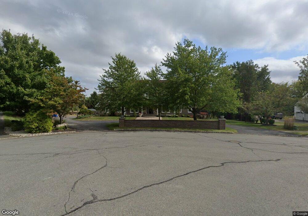
20 Covered Bridge Rd Flemington, NJ 08822
Estimated Value: $893,921 - $950,000
--
Bed
--
Bath
3,559
Sq Ft
$259/Sq Ft
Est. Value
About This Home
This home is located at 20 Covered Bridge Rd, Flemington, NJ 08822 and is currently estimated at $920,230, approximately $258 per square foot. 20 Covered Bridge Rd is a home located in Hunterdon County with nearby schools including Francis A. Desmares Elementary School, Reading Fleming Intermediate School, and J.P. Case Middle School.
Ownership History
Date
Name
Owned For
Owner Type
Purchase Details
Closed on
Jun 6, 2004
Sold by
Ambrosio Vincent and Ambrosio Pamela
Bought by
Reed John and Reed Rebecca Fox
Current Estimated Value
Purchase Details
Closed on
Sep 10, 1992
Sold by
Robin Hill Inc
Bought by
Ambrosio Vincent and Ambrosio Pamela
Purchase Details
Closed on
Jun 22, 1992
Sold by
Robin Hill Associates
Bought by
Robin Hill Inc
Create a Home Valuation Report for This Property
The Home Valuation Report is an in-depth analysis detailing your home's value as well as a comparison with similar homes in the area
Home Values in the Area
Average Home Value in this Area
Purchase History
| Date | Buyer | Sale Price | Title Company |
|---|---|---|---|
| Reed John | $540,000 | -- | |
| Ambrosio Vincent | $315,900 | -- | |
| Robin Hill Inc | $130,000 | -- |
Source: Public Records
Tax History Compared to Growth
Tax History
| Year | Tax Paid | Tax Assessment Tax Assessment Total Assessment is a certain percentage of the fair market value that is determined by local assessors to be the total taxable value of land and additions on the property. | Land | Improvement |
|---|---|---|---|---|
| 2025 | $16,087 | $555,300 | $221,600 | $333,700 |
| 2024 | $15,126 | $555,300 | $221,600 | $333,700 |
| 2023 | $15,126 | $555,300 | $221,600 | $333,700 |
| 2022 | $14,743 | $555,300 | $221,600 | $333,700 |
| 2021 | $13,988 | $555,300 | $221,600 | $333,700 |
| 2020 | $14,277 | $555,300 | $221,600 | $333,700 |
| 2019 | $13,988 | $555,300 | $221,600 | $333,700 |
| 2018 | $13,816 | $555,300 | $221,600 | $333,700 |
| 2017 | $13,605 | $555,300 | $221,600 | $333,700 |
| 2016 | $13,361 | $555,300 | $221,600 | $333,700 |
| 2015 | $13,022 | $555,300 | $221,600 | $333,700 |
| 2014 | $12,850 | $555,300 | $221,600 | $333,700 |
Source: Public Records
Map
Nearby Homes
- 28 Old Clinton Rd
- 23 Valley View Dr
- 31 Cherryville Hollow Rd
- 10 Jacobus Ln
- 14 William Barnes Rd
- 12 Cardinal Way
- 201 Hankinson Rd
- 25 Haddenford Dr
- 6 W View Dr
- 1 Dale Dr
- 5 Morningside Ct
- 525 Stanton Station Rd
- 138 Featherbed Ln
- 125 Cherryville Hollow Rd
- 31 E Main St
- 59 Cherryville Stanton Rd
- 92 Park Ave
- 158 Featherbed Ln
- 12 Corcoran St
- 5 William Martin Way Unit 5
- 18 Covered Bridge Rd
- 21 Covered Bridge Rd
- 19 Covered Bridge Rd
- 17 Covered Bridge Rd
- 16 Covered Bridge Rd
- 15 Covered Bridge Rd
- 14 Covered Bridge Rd
- 349 Hwy 31 Unit 302
- 349 State Route 31 Unit 601
- 349 Highway 31 Unit 501
- 349 Highway 31 Unit 1501
- 349 Highway 31 Unit 601&2
- 349 Highway 31 Unit 301
- 349 Highway 31 Unit 601
- 349 Highway 31 Unit 602
- 349 Highway 31 Unit 401
- 349 Highway 31 Unit 302
- 8 Red Robin Way
- 11 Covered Bridge Rd
- 12 Covered Bridge Rd