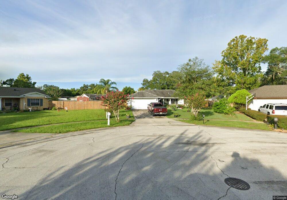
20 Covewood Cir Eustis, FL 32726
Estimated Value: $289,000 - $313,238
3
Beds
2
Baths
1,277
Sq Ft
$238/Sq Ft
Est. Value
About This Home
This home is located at 20 Covewood Cir, Eustis, FL 32726 and is currently estimated at $304,560, approximately $238 per square foot. 20 Covewood Cir is a home located in Lake County with nearby schools including Triangle Elementary School, Eustis Middle School, and Eustis High School.
Ownership History
Date
Name
Owned For
Owner Type
Purchase Details
Closed on
Jun 7, 2020
Sold by
Whitty David Lee and Whitty David
Bought by
Whitty David Lee and Whitty Dorothy Anne
Current Estimated Value
Purchase Details
Closed on
Feb 28, 1995
Sold by
Johnson Leon E and Johnson Eileen C
Bought by
Cunningham Jane M
Home Financials for this Owner
Home Financials are based on the most recent Mortgage that was taken out on this home.
Original Mortgage
$79,250
Interest Rate
9.05%
Mortgage Type
FHA
Create a Home Valuation Report for This Property
The Home Valuation Report is an in-depth analysis detailing your home's value as well as a comparison with similar homes in the area
Home Values in the Area
Average Home Value in this Area
Purchase History
| Date | Buyer | Sale Price | Title Company |
|---|---|---|---|
| Whitty David Lee | -- | Attorney | |
| Cunningham Jane M | $78,900 | -- |
Source: Public Records
Mortgage History
| Date | Status | Borrower | Loan Amount |
|---|---|---|---|
| Closed | Cunningham Jane M | $79,250 |
Source: Public Records
Tax History Compared to Growth
Tax History
| Year | Tax Paid | Tax Assessment Tax Assessment Total Assessment is a certain percentage of the fair market value that is determined by local assessors to be the total taxable value of land and additions on the property. | Land | Improvement |
|---|---|---|---|---|
| 2025 | $3,153 | $211,066 | -- | -- |
| 2024 | $3,153 | $211,066 | -- | -- |
| 2023 | $3,153 | $204,435 | $0 | $0 |
| 2022 | $2,943 | $185,825 | $0 | $0 |
| 2021 | $2,692 | $169,849 | $0 | $0 |
| 2020 | $2,558 | $156,770 | $0 | $0 |
| 2019 | $2,510 | $151,690 | $0 | $0 |
| 2018 | $3,059 | $143,095 | $0 | $0 |
| 2017 | $2,917 | $136,007 | $0 | $0 |
| 2016 | $2,694 | $123,980 | $0 | $0 |
| 2015 | $1,423 | $105,851 | $0 | $0 |
| 2014 | $1,517 | $109,609 | $0 | $0 |
Source: Public Records
Map
Nearby Homes
- 2723 Beacon St
- 3101 Northwind Dr
- 2701 S Dellwood Dr
- 2715 N Dellwood Dr
- 2908 Forest Rd
- 700 Harvard Ct
- 704 Kenmoore Ct
- 3005 Garden Rd
- 501 Cherry Tree St
- 0 State Road 44 Unit MFRL4950491
- 3105 Garden Rd
- 34505 Hammond Ln
- 1041 Vassar Dr
- 114 Fruitwood Ave
- 1202 Marshall Ct
- 2414 E Orange Ave
- 2225 Sandridge Cir
- 988 Vanderbilt Dr
- 324 Sunny Field Ct
- 3064 Windham Dr
- 2718 Lakewood Ln
- 10 Covewood Cir
- 40 Covewood Cir
- 2721 S Dellwood Dr
- 2719 S Dellwood Dr
- 2742 E Dellwood Dr
- 2748 E Dellwood Dr
- 2723 S Dellwood Dr
- 2716 Lakewood Ln
- 60 Covewood Cir
- 80 Covewood Cir
- 2722 Lakewood Ln
- 2725 S Dellwood Dr
- 2731 E Dellwood Dr
- 2715 S Dellwood Dr
- 2717 Lakewood Ln
- 2719 Lakewood Ln
- 2727 S Dellwood Dr
- 2717 S Dellwood Dr
- 2718 S Dellwood Dr