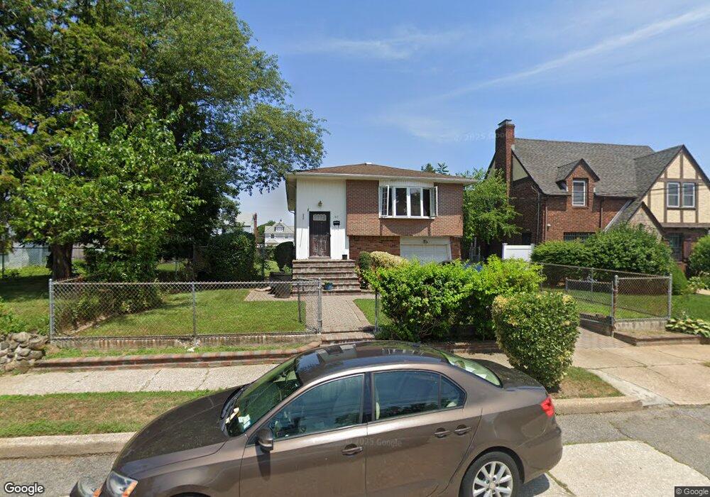
20 Craig Ave Freeport, NY 11520
Estimated Value: $557,000 - $729,166
5
Beds
2
Baths
1,975
Sq Ft
$326/Sq Ft
Est. Value
About This Home
This home is located at 20 Craig Ave, Freeport, NY 11520 and is currently estimated at $643,083, approximately $325 per square foot. 20 Craig Ave is a home located in Nassau County with nearby schools including Caroline G. Atkinson Intermediate School, Columbus Avenue School, and John W Dodd Middle School.
Ownership History
Date
Name
Owned For
Owner Type
Purchase Details
Closed on
Jan 21, 1997
Sold by
R F Properties Corp
Bought by
Faulkner Mary and Faulkner Bridgette
Current Estimated Value
Purchase Details
Closed on
Jul 19, 1996
Sold by
Federal Home Loan Mtge Corp
Bought by
Min Capital Corp
Purchase Details
Closed on
Jul 26, 1995
Sold by
Tenenbaum Irving Ref
Bought by
Federal Home Loan Mtge Corp
Create a Home Valuation Report for This Property
The Home Valuation Report is an in-depth analysis detailing your home's value as well as a comparison with similar homes in the area
Home Values in the Area
Average Home Value in this Area
Purchase History
| Date | Buyer | Sale Price | Title Company |
|---|---|---|---|
| Faulkner Mary | $152,000 | -- | |
| -- | -- | -- | |
| Faulkner Mary | -- | -- | |
| Min Capital Corp | $87,650 | -- | |
| Min Capital Corp | $87,650 | -- | |
| Federal Home Loan Mtge Corp | $159,526 | -- | |
| Federal Home Loan Mtge Corp | $159,526 | -- |
Source: Public Records
Tax History
| Year | Tax Paid | Tax Assessment Tax Assessment Total Assessment is a certain percentage of the fair market value that is determined by local assessors to be the total taxable value of land and additions on the property. | Land | Improvement |
|---|---|---|---|---|
| 2025 | $9,725 | $451 | $144 | $307 |
| 2024 | $971 | $451 | $144 | $307 |
| 2023 | $9,115 | $451 | $144 | $307 |
| 2022 | $9,115 | $451 | $144 | $307 |
| 2021 | $12,879 | $432 | $138 | $294 |
| 2020 | $8,299 | $486 | $401 | $85 |
| 2019 | $7,152 | $486 | $401 | $85 |
| 2018 | $7,037 | $486 | $0 | $0 |
| 2017 | $5,849 | $486 | $258 | $228 |
| 2016 | $6,578 | $486 | $258 | $228 |
| 2015 | $1,092 | $756 | $401 | $355 |
| 2014 | $1,092 | $756 | $401 | $355 |
| 2013 | $1,032 | $756 | $401 | $355 |
Source: Public Records
Map
Nearby Homes
- 72 Woodside Ave
- 365 Wallace St
- 12 King St
- 35 W Seaman Ave
- 110 Woodside Ave
- 63 E Seaman Ave
- 20 Sterling Place
- 32 Dawes Ave
- 200 Evans Ave
- 139 New York Ave
- 101 Harris Ave
- 188 Woodside Ave
- 60 Connecticut Ave
- 27 W Woodbine Dr
- 161 Wallace St
- 67 E Dean St
- 400 N Columbus Ave
- 41 W Fulton Ave
- 247 N Columbus Ave
- 173 E Seaman Ave
Your Personal Tour Guide
Ask me questions while you tour the home.