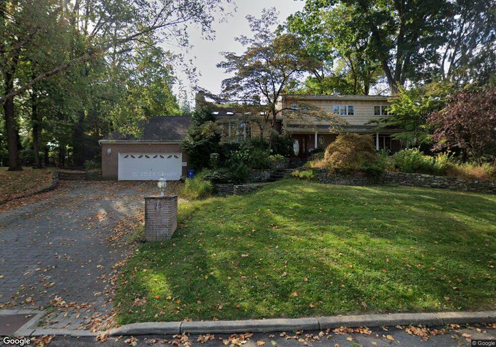
20 Crest Rd Middletown, NJ 07748
New Monmouth NeighborhoodEstimated Value: $1,090,000 - $1,219,000
4
Beds
2
Baths
3,584
Sq Ft
$329/Sq Ft
Est. Value
About This Home
This home is located at 20 Crest Rd, Middletown, NJ 07748 and is currently estimated at $1,178,813, approximately $328 per square foot. 20 Crest Rd is a home located in Monmouth County with nearby schools including Middletown Village Elementary School, Thompson Middle School, and Middletown High School North.
Ownership History
Date
Name
Owned For
Owner Type
Purchase Details
Closed on
Jul 1, 2005
Sold by
Schotter Karen E
Bought by
Klayton Joan P
Current Estimated Value
Home Financials for this Owner
Home Financials are based on the most recent Mortgage that was taken out on this home.
Original Mortgage
$100,000
Outstanding Balance
$52,235
Interest Rate
5.67%
Mortgage Type
Credit Line Revolving
Estimated Equity
$1,126,578
Purchase Details
Closed on
May 14, 1998
Sold by
Devenny Kevin
Bought by
Schotter Karen
Create a Home Valuation Report for This Property
The Home Valuation Report is an in-depth analysis detailing your home's value as well as a comparison with similar homes in the area
Home Values in the Area
Average Home Value in this Area
Purchase History
| Date | Buyer | Sale Price | Title Company |
|---|---|---|---|
| Klayton Joan P | $850,000 | -- | |
| Schotter Karen | $75,000 | -- |
Source: Public Records
Mortgage History
| Date | Status | Borrower | Loan Amount |
|---|---|---|---|
| Open | Klayton Joan P | $100,000 | |
| Open | Klayton Joan P | $500,000 |
Source: Public Records
Tax History Compared to Growth
Tax History
| Year | Tax Paid | Tax Assessment Tax Assessment Total Assessment is a certain percentage of the fair market value that is determined by local assessors to be the total taxable value of land and additions on the property. | Land | Improvement |
|---|---|---|---|---|
| 2025 | $16,009 | $1,097,500 | $522,500 | $575,000 |
| 2024 | $15,505 | $973,200 | $408,800 | $564,400 |
| 2023 | $15,505 | $892,100 | $333,200 | $558,900 |
| 2022 | $15,527 | $836,900 | $304,700 | $532,200 |
| 2021 | $15,527 | $746,500 | $273,100 | $473,400 |
| 2020 | $15,693 | $734,000 | $271,300 | $462,700 |
| 2019 | $15,445 | $731,300 | $271,300 | $460,000 |
| 2018 | $15,537 | $717,000 | $271,300 | $445,700 |
| 2017 | $15,068 | $709,400 | $271,300 | $438,100 |
| 2016 | $14,668 | $688,300 | $261,300 | $427,000 |
| 2015 | $14,593 | $683,200 | $261,300 | $421,900 |
| 2014 | $14,161 | $646,900 | $261,300 | $385,600 |
Source: Public Records
Map
Nearby Homes
- 93 Twin Brooks Ave
- 164 Heights Terrace
- 20 Devon Rd
- 35 Woodland Dr
- 8 Church St
- 0 Hamiltonian Dr Unit 22514980
- 17 Winding Brook Way
- 7 Rosewood Terrace
- 6 Waller Dr
- 7 Meehan Ct
- 10 Waller Dr
- 28 Doherty Dr
- 16 Waller Dr
- Hartshorne Plan at Middletown Walk
- 22 Waller Dr
- 58 Edmund Way
- 22 Edmund Way
- 31 Valiant Ct
- 6 Augustus Dr
- 93 Wallace Rd