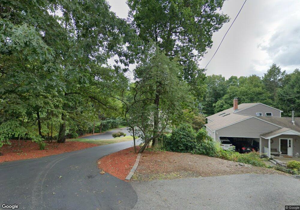
20 Crest Rd Natick, MA 01760
Estimated Value: $1,130,672 - $1,301,000
2
Beds
2
Baths
2,367
Sq Ft
$515/Sq Ft
Est. Value
About This Home
This home is located at 20 Crest Rd, Natick, MA 01760 and is currently estimated at $1,219,418, approximately $515 per square foot. 20 Crest Rd is a home located in Middlesex County with nearby schools including Natick High School, Bennett-Hemenway (Ben-Hem) Elementary School, and Wilson Middle School.
Ownership History
Date
Name
Owned For
Owner Type
Purchase Details
Closed on
Jun 6, 2024
Sold by
Tilton Michael F and Tilton Denise Y
Bought by
Mtdt Rt and Tilton
Current Estimated Value
Purchase Details
Closed on
Aug 1, 1981
Bought by
Tilton Michael F and Tilton Denise Y
Create a Home Valuation Report for This Property
The Home Valuation Report is an in-depth analysis detailing your home's value as well as a comparison with similar homes in the area
Home Values in the Area
Average Home Value in this Area
Purchase History
| Date | Buyer | Sale Price | Title Company |
|---|---|---|---|
| Mtdt Rt | -- | None Available | |
| Mtdt Rt | -- | None Available | |
| Tilton Michael F | $62,000 | -- |
Source: Public Records
Mortgage History
| Date | Status | Borrower | Loan Amount |
|---|---|---|---|
| Previous Owner | Tilton Michael F | $143,993 | |
| Previous Owner | Tilton Michael F | $115,000 | |
| Previous Owner | Tilton Michael F | $82,000 | |
| Previous Owner | Tilton Michael F | $70,000 |
Source: Public Records
Tax History Compared to Growth
Tax History
| Year | Tax Paid | Tax Assessment Tax Assessment Total Assessment is a certain percentage of the fair market value that is determined by local assessors to be the total taxable value of land and additions on the property. | Land | Improvement |
|---|---|---|---|---|
| 2025 | $13,010 | $1,087,800 | $691,400 | $396,400 |
| 2024 | $11,996 | $978,500 | $611,700 | $366,800 |
| 2023 | $11,410 | $902,700 | $560,400 | $342,300 |
| 2022 | $10,535 | $789,700 | $504,400 | $285,300 |
| 2021 | $9,754 | $716,700 | $451,900 | $264,800 |
| 2020 | $9,754 | $716,700 | $451,900 | $264,800 |
| 2019 | $23,300 | $716,700 | $451,900 | $264,800 |
| 2018 | $8,776 | $672,500 | $451,900 | $220,600 |
| 2017 | $8,839 | $655,200 | $438,600 | $216,600 |
| 2016 | $8,411 | $619,800 | $405,000 | $214,800 |
| 2015 | $7,098 | $513,600 | $316,400 | $197,200 |
Source: Public Records
Map
Nearby Homes
- 5 Crest Rd
- 39 Evergreen Rd
- 18 Magnolia Rd
- 22 Magnolia Rd
- 278 N Main St
- 281 N Main St
- 8 Flynn St
- 9 Flynn St
- 37 E Evergreen Rd
- 38 Westlake Rd
- 13 Sheffield Rd
- 293 Bacon St Unit A
- 293 Bacon St Unit B
- 8 Hartford St
- 3 Ferndale Rd
- 37 Pemberton Rd
- 14 Ferndale Rd
- 12 Linden St
- 7 Jackson Ct Unit B
- 4 Richard Rd