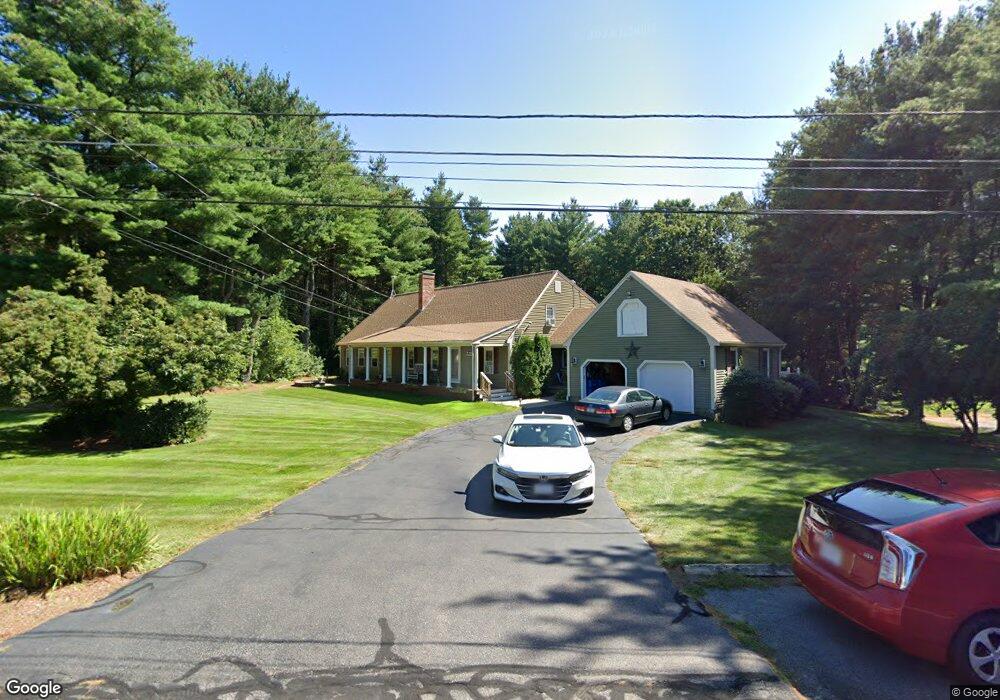
20 Crocker Pond Rd Wrentham, MA 02093
Estimated Value: $994,712 - $1,151,000
4
Beds
5
Baths
2,755
Sq Ft
$385/Sq Ft
Est. Value
About This Home
This home is located at 20 Crocker Pond Rd, Wrentham, MA 02093 and is currently estimated at $1,059,928, approximately $384 per square foot. 20 Crocker Pond Rd is a home located in Norfolk County with nearby schools including Delaney Elementary School, Charles E Roderick, and Foxborough Regional Charter School.
Ownership History
Date
Name
Owned For
Owner Type
Purchase Details
Closed on
Sep 29, 1999
Sold by
Millett Rodney L
Bought by
Cotter Beth A and Cotter Michael J
Current Estimated Value
Purchase Details
Closed on
Sep 22, 1995
Sold by
Brown Scott P and Brown Gail M
Bought by
Millett Rodney L
Create a Home Valuation Report for This Property
The Home Valuation Report is an in-depth analysis detailing your home's value as well as a comparison with similar homes in the area
Home Values in the Area
Average Home Value in this Area
Purchase History
| Date | Buyer | Sale Price | Title Company |
|---|---|---|---|
| Cotter Beth A | $250,000 | -- | |
| Millett Rodney L | $190,000 | -- |
Source: Public Records
Mortgage History
| Date | Status | Borrower | Loan Amount |
|---|---|---|---|
| Open | Millett Rodney L | $188,000 | |
| Closed | Millett Rodney L | $15,000 |
Source: Public Records
Tax History Compared to Growth
Tax History
| Year | Tax Paid | Tax Assessment Tax Assessment Total Assessment is a certain percentage of the fair market value that is determined by local assessors to be the total taxable value of land and additions on the property. | Land | Improvement |
|---|---|---|---|---|
| 2025 | $10,596 | $914,200 | $302,500 | $611,700 |
| 2024 | $10,111 | $842,600 | $302,500 | $540,100 |
| 2023 | $10,297 | $815,900 | $274,900 | $541,000 |
| 2022 | $9,897 | $724,000 | $256,400 | $467,600 |
| 2021 | $9,407 | $668,600 | $223,800 | $444,800 |
| 2020 | $9,862 | $692,100 | $199,000 | $493,100 |
| 2019 | $9,424 | $667,400 | $199,000 | $468,400 |
| 2018 | $9,336 | $655,600 | $199,300 | $456,300 |
| 2017 | $9,143 | $641,600 | $195,400 | $446,200 |
| 2016 | $8,962 | $627,600 | $189,800 | $437,800 |
| 2015 | $8,753 | $584,300 | $167,300 | $417,000 |
| 2014 | $8,612 | $562,500 | $160,900 | $401,600 |
Source: Public Records
Map
Nearby Homes
- 65 Pond St
- 25 Foxboro Rd
- 362 East St
- 1 Lorraine Metcalf Dr
- 270 Dedham St
- 11 Goodwin Dr
- 7 Hill St Unit 10
- 10 Nature View Dr
- 15 Nature View Dr
- 483 Thurston St
- 20 Valley St Unit 20
- 71 Pond St
- 120 Hawes St
- 10 W Birch Rd
- 0 W Birch Rd
- 3 Oak Rd
- 319 Taunton St
- 246 Forest Grove Ave
- 131 Creek St Unit 7
- Lot 3 - 14 Earle Stewart Ln
- 30 Crocker Pond Rd
- 10 Crocker Pond Rd
- 40 Crocker Pond Rd
- 25 Meadowbrook Dr
- 5 Crocker Pond Rd
- 15 Crocker Pond Rd
- 25 Crocker Pond Rd
- 20 Meadowbrook Dr
- 35 Meadowbrook Dr
- 35 Crocker Pond Rd
- 50 Crocker Pond Rd
- 30 Meadowbrook Dr
- 10 Meadowbrook Dr
- 40 Meadowbrook Dr
- 45 Meadowbrook Dr
- 45 Meadowbrook Rd
- 45 Crocker Pond Rd
- 60 Crocker Pond Rd
- 644 East St
- 25 Federico Dr