20 Crooked Furrows Ln Sherman, CT 06784
Estimated Value: $657,000 - $886,000
2
Beds
3
Baths
2,112
Sq Ft
$354/Sq Ft
Est. Value
About This Home
This home is located at 20 Crooked Furrows Ln, Sherman, CT 06784 and is currently estimated at $747,237, approximately $353 per square foot. 20 Crooked Furrows Ln is a home located in Fairfield County with nearby schools including Sherman School.
Ownership History
Date
Name
Owned For
Owner Type
Purchase Details
Closed on
Sep 29, 2025
Sold by
Hudson Richard M Est and Raiano
Bought by
Luks Heather
Current Estimated Value
Purchase Details
Closed on
Jul 17, 1999
Sold by
Staib Eric A and Staib Gary L
Bought by
Hudson Richard M and Hudson Gloria E
Create a Home Valuation Report for This Property
The Home Valuation Report is an in-depth analysis detailing your home's value as well as a comparison with similar homes in the area
Home Values in the Area
Average Home Value in this Area
Purchase History
| Date | Buyer | Sale Price | Title Company |
|---|---|---|---|
| Luks Heather | $760,000 | -- | |
| Hudson Richard M | $370,000 | -- |
Source: Public Records
Mortgage History
| Date | Status | Borrower | Loan Amount |
|---|---|---|---|
| Previous Owner | Hudson Richard M | $55,000 | |
| Previous Owner | Hudson Richard M | $151,000 | |
| Previous Owner | Hudson Richard M | $140,000 |
Source: Public Records
Tax History Compared to Growth
Tax History
| Year | Tax Paid | Tax Assessment Tax Assessment Total Assessment is a certain percentage of the fair market value that is determined by local assessors to be the total taxable value of land and additions on the property. | Land | Improvement |
|---|---|---|---|---|
| 2025 | $4,936 | $296,100 | $92,600 | $203,500 |
| 2024 | $4,844 | $296,100 | $92,600 | $203,500 |
| 2023 | $5,277 | $296,100 | $92,600 | $203,500 |
| 2022 | $5,383 | $296,100 | $92,600 | $203,500 |
| 2021 | $5,519 | $296,100 | $92,600 | $203,500 |
| 2020 | $5,658 | $296,100 | $92,600 | $203,500 |
| 2019 | $5,866 | $296,100 | $92,600 | $203,500 |
| 2018 | $6,189 | $286,400 | $92,600 | $193,800 |
| 2017 | $8,437 | $286,400 | $92,600 | $193,800 |
| 2016 | $5,822 | $286,370 | $92,610 | $193,760 |
| 2015 | $5,739 | $286,370 | $92,610 | $193,760 |
| 2014 | $5,682 | $286,370 | $92,610 | $193,760 |
Source: Public Records
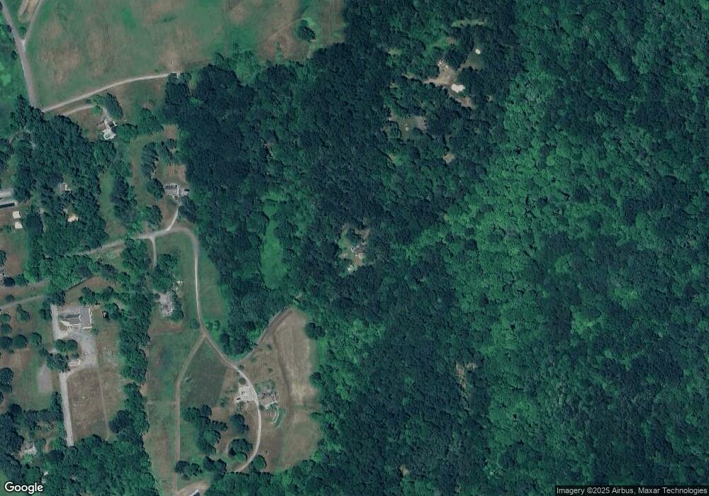
Map
Nearby Homes
- 2 Coburn Road W, She Coburn Rd W
- 6 Brinsmade Ln
- 7 Ridge Rd
- 107 Church Rd
- 0 Sherman Rd
- 77 Squash Hollow Rd
- 12 Shadow Ln
- 9 Tallow Ln
- 0 Candlewood Mountain Rd Unit 24137997
- 0 Candlewood Mountain Rd Unit 24138000
- 0 Candlewood Mountain Rd Unit 24134055
- 21 Holiday Point Rd
- 49 Quaker Ridge Rd
- 2 Twin Oaks
- 00 Anderson Rd
- 42 Twin Oaks
- 18 Fox Run
- 31 Cedar Hill Rd
- 1 Cloverleaf Farm S
- 48 Gaylord Rd
- 20-22 Anderson Road Rd E
- 45 Long River
- 0 Withheld Unit F984680
- 20 -22 Anderson Rd E
- 10 Hubbell Ridge Rd
- LOT N Route 39 Rd
- 2-24 Farview Farms
- 1-17 Old Stone Ln
- 2&4 Chestnut Hill Rd
- 8 Atchison Rd
- 141 Route
- 149 Route
- 157 Route
- 23 Crooked Furrows Ln
- 15 Crooked Furrows Ln
- 23-58 Crooked Furrows Ln
- 4 Crooked Furrows Ln
- 2 Crooked Furrows Ln
- 3 Crooked Furrows Ln
- 14 Church Rd