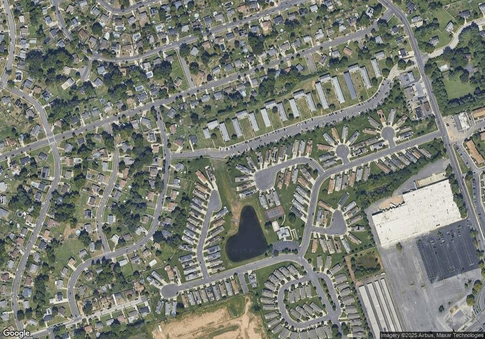
20 Crystal Dr Beverly, NJ 08010
Estimated Value: $329,243 - $361,000
--
Bed
--
Bath
1,803
Sq Ft
$189/Sq Ft
Est. Value
About This Home
This home is located at 20 Crystal Dr, Beverly, NJ 08010 and is currently estimated at $341,061, approximately $189 per square foot. 20 Crystal Dr is a home located in Burlington County with nearby schools including Magowan Elementary School, Samuel M Ridgway School, and Benjamin Banneker Prep Charter School.
Ownership History
Date
Name
Owned For
Owner Type
Purchase Details
Closed on
Nov 14, 2024
Sold by
Turner Reginald B
Bought by
Reginald B Turner Sr Revocable Trust
Current Estimated Value
Purchase Details
Closed on
Nov 20, 2002
Sold by
Silver Park Associates Llc
Bought by
Turner Reginald B
Home Financials for this Owner
Home Financials are based on the most recent Mortgage that was taken out on this home.
Original Mortgage
$80,000
Interest Rate
6.17%
Create a Home Valuation Report for This Property
The Home Valuation Report is an in-depth analysis detailing your home's value as well as a comparison with similar homes in the area
Home Values in the Area
Average Home Value in this Area
Purchase History
| Date | Buyer | Sale Price | Title Company |
|---|---|---|---|
| Reginald B Turner Sr Revocable Trust | -- | None Listed On Document | |
| Reginald B Turner Sr Revocable Trust | -- | None Listed On Document | |
| Turner Reginald B | $144,900 | Congress Title Corp |
Source: Public Records
Mortgage History
| Date | Status | Borrower | Loan Amount |
|---|---|---|---|
| Previous Owner | Turner Reginald B | $80,000 |
Source: Public Records
Tax History Compared to Growth
Tax History
| Year | Tax Paid | Tax Assessment Tax Assessment Total Assessment is a certain percentage of the fair market value that is determined by local assessors to be the total taxable value of land and additions on the property. | Land | Improvement |
|---|---|---|---|---|
| 2025 | $5,776 | $172,600 | $20,800 | $151,800 |
| 2024 | $5,716 | $166,600 | $20,800 | $145,800 |
| 2023 | $5,716 | $166,600 | $20,800 | $145,800 |
| 2022 | $5,699 | $166,600 | $20,800 | $145,800 |
| 2021 | $5,609 | $166,600 | $20,800 | $145,800 |
| 2020 | $5,426 | $166,600 | $20,800 | $145,800 |
| 2019 | $5,126 | $166,600 | $20,800 | $145,800 |
| 2018 | $5,013 | $166,600 | $20,800 | $145,800 |
| 2017 | $4,918 | $166,600 | $20,800 | $145,800 |
| 2016 | $4,643 | $166,600 | $20,800 | $145,800 |
| 2015 | $5,134 | $191,200 | $20,800 | $170,400 |
| 2014 | $4,856 | $191,200 | $20,800 | $170,400 |
Source: Public Records
Map
Nearby Homes
- 204 N Garden
- 25 L Wendowski St
- 205 S Garden Blvd
- 26 L Wendowski St
- 58 Benford Ln
- 206 Colonial Rd
- 402 S Arthur Dr
- 400 S Arthur Dr
- 208 Regency Rd
- 20 Benford Ln
- 424 Jefferson Ave
- 202 Buchanan Ave
- 401 Cardinal Rd
- 403 Cardinal Rd
- 507 E Franklin Ave
- 1294 Cooper St Unit E3
- 1294 Cooper St Unit E8
- 1294 Cooper St Unit E13
- 1294 Cooper St Unit C06
- 123 E Franklin Ave
