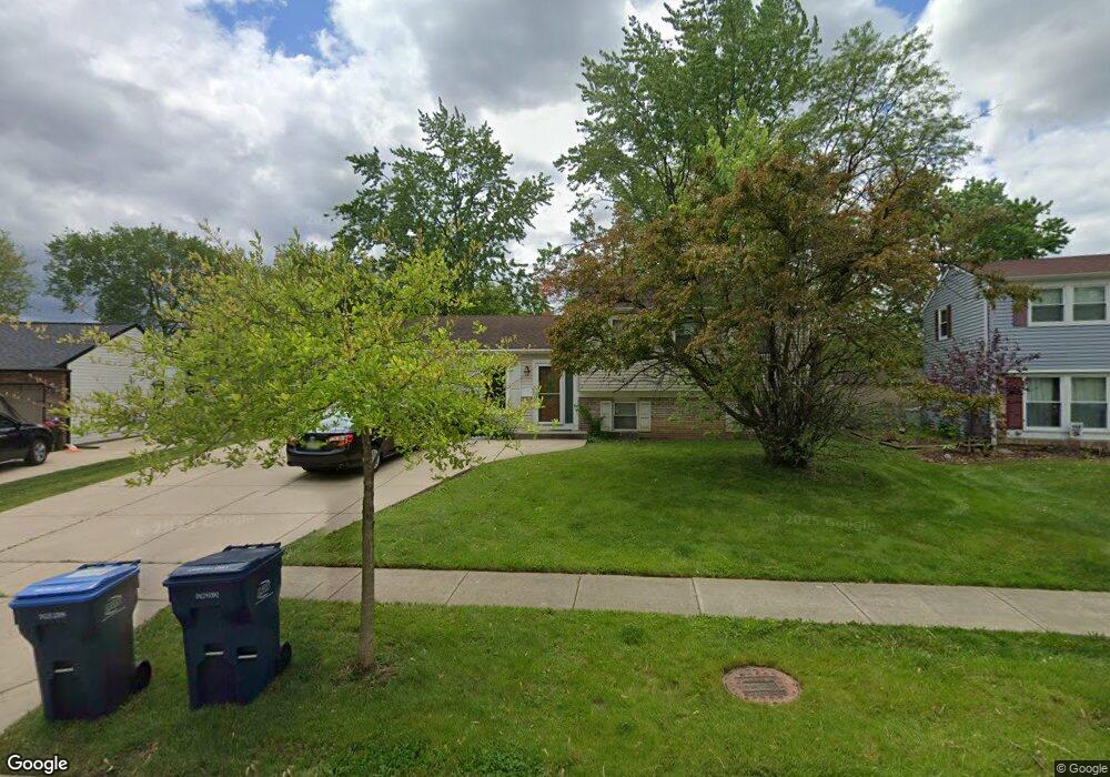
20 Cumberland Dr Schaumburg, IL 60194
Hoover Park NeighborhoodEstimated Value: $384,000 - $436,000
3
Beds
1
Bath
1,120
Sq Ft
$370/Sq Ft
Est. Value
About This Home
This home is located at 20 Cumberland Dr, Schaumburg, IL 60194 and is currently estimated at $414,304, approximately $369 per square foot. 20 Cumberland Dr is a home located in Cook County with nearby schools including Hoover Math And Science Academy, Helen Keller Junior High School, and Schaumburg High School.
Ownership History
Date
Name
Owned For
Owner Type
Purchase Details
Closed on
Oct 4, 2024
Sold by
Haji Florida and Haji Victoria
Bought by
Haji Florida
Current Estimated Value
Home Financials for this Owner
Home Financials are based on the most recent Mortgage that was taken out on this home.
Original Mortgage
$262,500
Interest Rate
6.49%
Mortgage Type
New Conventional
Purchase Details
Closed on
Aug 8, 2019
Sold by
Haji Florida
Bought by
Haji Florida and Haji Victoria
Create a Home Valuation Report for This Property
The Home Valuation Report is an in-depth analysis detailing your home's value as well as a comparison with similar homes in the area
Home Values in the Area
Average Home Value in this Area
Purchase History
| Date | Buyer | Sale Price | Title Company |
|---|---|---|---|
| Haji Florida | -- | None Listed On Document | |
| Haji Florida | -- | None Available |
Source: Public Records
Mortgage History
| Date | Status | Borrower | Loan Amount |
|---|---|---|---|
| Previous Owner | Haji Florida | $262,500 |
Source: Public Records
Tax History Compared to Growth
Tax History
| Year | Tax Paid | Tax Assessment Tax Assessment Total Assessment is a certain percentage of the fair market value that is determined by local assessors to be the total taxable value of land and additions on the property. | Land | Improvement |
|---|---|---|---|---|
| 2024 | $7,012 | $31,000 | $10,912 | $20,088 |
| 2023 | $6,748 | $31,000 | $10,912 | $20,088 |
| 2022 | $6,748 | $31,000 | $10,912 | $20,088 |
| 2021 | $5,543 | $24,283 | $7,404 | $16,879 |
| 2020 | $5,570 | $24,283 | $7,404 | $16,879 |
| 2019 | $5,659 | $27,285 | $7,404 | $19,881 |
| 2018 | $6,167 | $23,984 | $6,624 | $17,360 |
| 2017 | $6,087 | $23,984 | $6,624 | $17,360 |
| 2016 | $5,935 | $23,984 | $6,624 | $17,360 |
| 2015 | $5,209 | $20,035 | $5,845 | $14,190 |
| 2014 | $5,168 | $20,035 | $5,845 | $14,190 |
| 2013 | $5,018 | $20,035 | $5,845 | $14,190 |
Source: Public Records
Map
Nearby Homes
- 100 Ellington Dr
- 124 Westover Ln
- 1336 Wakeby Ln Unit 444
- 104 N Braintree Dr
- 1425 Colwyn Dr
- 231 Webster Ln
- 1125 Charlene Ln
- 1939 Weston Ln
- 135 S Walnut Ln
- 1123 Stoughton Ct Unit 1664
- 227 S Walnut Ln
- 1614 Kingston Ln
- 454 Willington Dr
- 1128 Quanset Ct Unit 1764
- 1933 Whittier Ln
- 413 Linsey Ave
- 604 N Brookdale Dr
- 519 S Springinsguth Rd
- 521 Auburn Ln
- 640 Downey St
- 16 Cumberland Dr
- 24 Cumberland Dr
- 28 Cumberland Dr
- 14 Cumberland Dr
- 21 Cumberland Dr
- 1601 Portsmouth Ln
- 15 Cumberland Dr
- 34 Cumberland Dr Unit 11
- 12 Cumberland Dr
- 25 Cumberland Dr
- 13 Cumberland Dr
- 33 Brixham Place
- 1611 Portsmouth Ln
- 35 Cumberland Dr
- 100 Cumberland Dr
- 8 Cumberland Dr Unit 11
- 30 Paxton Ln
- 7 Cumberland Dr
- 26 Paxton Ln Unit 11
- 34 Paxton Ln