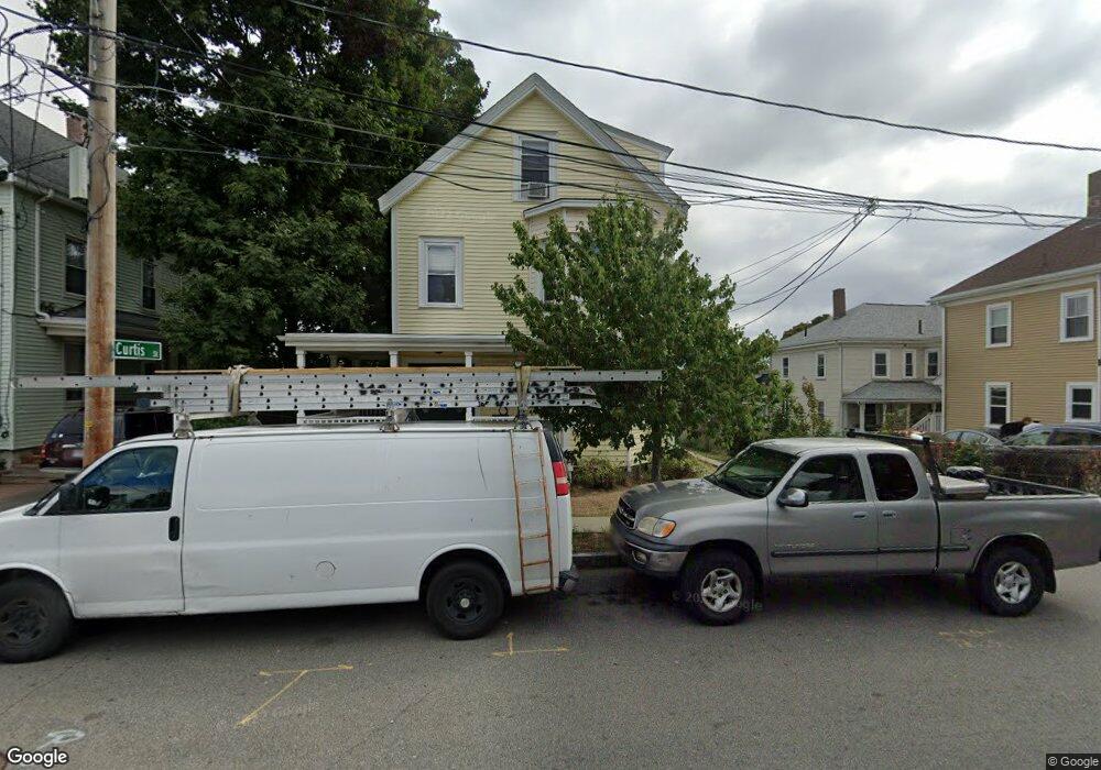
20 Curtis St Waltham, MA 02453
Bank Square NeighborhoodEstimated Value: $1,026,000 - $1,206,145
6
Beds
3
Baths
3,601
Sq Ft
$312/Sq Ft
Est. Value
About This Home
This home is located at 20 Curtis St, Waltham, MA 02453 and is currently estimated at $1,125,286, approximately $312 per square foot. 20 Curtis St is a home located in Middlesex County with nearby schools including William F. Stanley Elementary School, John W. Mcdevitt Middle School, and Waltham Sr High School.
Ownership History
Date
Name
Owned For
Owner Type
Purchase Details
Closed on
Jun 2, 2014
Sold by
Bourgeois Michael L and Bourgeois Christine M
Bought by
Fredette James
Current Estimated Value
Home Financials for this Owner
Home Financials are based on the most recent Mortgage that was taken out on this home.
Original Mortgage
$408,750
Outstanding Balance
$309,787
Interest Rate
4.26%
Mortgage Type
New Conventional
Estimated Equity
$815,499
Purchase Details
Closed on
Nov 25, 2003
Sold by
Babineau Roberta H and Babineau Edward R
Bought by
Bourgeois Christine M
Home Financials for this Owner
Home Financials are based on the most recent Mortgage that was taken out on this home.
Original Mortgage
$412,200
Interest Rate
5.98%
Mortgage Type
Purchase Money Mortgage
Create a Home Valuation Report for This Property
The Home Valuation Report is an in-depth analysis detailing your home's value as well as a comparison with similar homes in the area
Home Values in the Area
Average Home Value in this Area
Purchase History
| Date | Buyer | Sale Price | Title Company |
|---|---|---|---|
| Fredette James | $545,000 | -- | |
| Bourgeois Christine M | $425,000 | -- |
Source: Public Records
Mortgage History
| Date | Status | Borrower | Loan Amount |
|---|---|---|---|
| Open | Fredette James | $408,750 | |
| Previous Owner | Bourgeois Christine M | $412,200 |
Source: Public Records
Tax History Compared to Growth
Tax History
| Year | Tax Paid | Tax Assessment Tax Assessment Total Assessment is a certain percentage of the fair market value that is determined by local assessors to be the total taxable value of land and additions on the property. | Land | Improvement |
|---|---|---|---|---|
| 2025 | $10,439 | $1,063,000 | $348,600 | $714,400 |
| 2024 | $9,537 | $989,300 | $346,500 | $642,800 |
| 2023 | $8,754 | $848,300 | $332,000 | $516,300 |
| 2022 | $8,887 | $797,800 | $303,200 | $494,600 |
| 2021 | $8,061 | $712,100 | $245,400 | $466,700 |
| 2020 | $7,783 | $651,300 | $216,500 | $434,800 |
| 2019 | $7,206 | $569,200 | $214,400 | $354,800 |
| 2018 | $6,487 | $514,400 | $198,500 | $315,900 |
| 2017 | $6,234 | $496,300 | $180,400 | $315,900 |
| 2016 | $6,075 | $496,300 | $180,400 | $315,900 |
| 2015 | $4,550 | $346,500 | $162,400 | $184,100 |
Source: Public Records
Map
Nearby Homes
- 39 Floyd St Unit 2
- 79-81 Vernon St
- 948 Main St Unit 209
- 948 Main St Unit 105
- 32 Harvard St Unit 2
- 31 Weston St Unit 2
- 85 Crescent St
- 15 Banks St Unit 4
- 15 Howard St
- 55-57 Crescent St
- 43-45 Welligton Unit 3
- 7-11.5 Felton
- 15 Alder St Unit 1
- 61 Hall St Unit 1
- 61 Hall St Unit 9
- 61 Hall St Unit 2
- 61 Hall St Unit 7
- 5-7 Chester Ave
- 73 Orange St Unit 2
- 160 School St Unit 3-1
- 20 Curtis St Unit 1
- 20 Curtis St Unit 2
- 14 Curtis St Unit 16
- 14-16 Curtis St
- 27 Highland St Unit 29
- 23 Highland St Unit 23
- 23 Highland St Unit 233
- 23 Highland St Unit 25
- 23-25 Highland St
- 25 Highland St Unit 25
- 10 Brook Ave
- 14 Brook Ave
- 14 Brook Ave Unit 2
- 14 Brook Ave Unit 1
- 8 Curtis St Unit 10
- 19 Curtis St
- 19 Curtis St Unit 1
- 19 Highland St
- 1 Dartmouth St
- 25 Curtis St