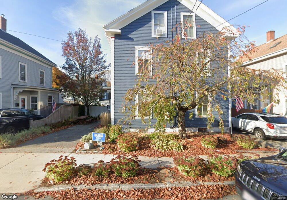
20 Dalton St Unit 2 Newburyport, MA 01950
Estimated Value: $814,587 - $944,000
3
Beds
2
Baths
2,050
Sq Ft
$417/Sq Ft
Est. Value
About This Home
This home is located at 20 Dalton St Unit 2, Newburyport, MA 01950 and is currently estimated at $855,147, approximately $417 per square foot. 20 Dalton St Unit 2 is a home located in Essex County with nearby schools including Francis T. Bresnahan Elementary School, Edward G. Molin Elementary School, and Rupert A. Nock Middle School.
Ownership History
Date
Name
Owned For
Owner Type
Purchase Details
Closed on
Dec 6, 2000
Sold by
Berstein Adam W and Zoller-Berstein Jen
Bought by
Twichell Peter M and Green Gillissen
Current Estimated Value
Purchase Details
Closed on
May 7, 1998
Sold by
Reynolds Frank H
Bought by
Walsh John J
Purchase Details
Closed on
Oct 17, 1994
Sold by
Stone Paul B and Stone Brenda
Bought by
Reynolds Frank H
Create a Home Valuation Report for This Property
The Home Valuation Report is an in-depth analysis detailing your home's value as well as a comparison with similar homes in the area
Home Values in the Area
Average Home Value in this Area
Purchase History
| Date | Buyer | Sale Price | Title Company |
|---|---|---|---|
| Twichell Peter M | $278,785 | -- | |
| Walsh John J | $192,500 | -- | |
| Reynolds Frank H | $157,500 | -- |
Source: Public Records
Mortgage History
| Date | Status | Borrower | Loan Amount |
|---|---|---|---|
| Open | Reynolds Frank H | $285,000 | |
| Closed | Reynolds Frank H | $219,200 | |
| Closed | Reynolds Frank H | $44,800 |
Source: Public Records
Tax History Compared to Growth
Tax History
| Year | Tax Paid | Tax Assessment Tax Assessment Total Assessment is a certain percentage of the fair market value that is determined by local assessors to be the total taxable value of land and additions on the property. | Land | Improvement |
|---|---|---|---|---|
| 2025 | $6,421 | $670,200 | $0 | $670,200 |
| 2024 | $6,266 | $628,500 | $0 | $628,500 |
| 2023 | $5,355 | $498,600 | $0 | $498,600 |
| 2022 | $5,227 | $435,200 | $0 | $435,200 |
| 2021 | $5,189 | $410,500 | $0 | $410,500 |
| 2020 | $5,167 | $402,400 | $0 | $402,400 |
| 2019 | $4,987 | $381,300 | $0 | $381,300 |
| 2018 | $4,886 | $368,500 | $0 | $368,500 |
| 2017 | $4,738 | $352,300 | $0 | $352,300 |
| 2016 | $4,458 | $332,900 | $0 | $332,900 |
| 2015 | $4,246 | $318,300 | $0 | $318,300 |
Source: Public Records
Map
Nearby Homes
- 1 Hill St
- 1 Hill St Unit 1
- 95 High St Unit 4
- 95 High St Unit 1
- 105 State St Unit 301
- 105 State St Unit 101
- 105 State St Unit 201
- 2 Court St Unit 4
- 41 Washington St Unit B
- 11 Charter St
- 44 Washington St Unit C
- 14 Dexter Ln Unit B
- 14 Dexter Ln Unit A
- 45 Boardman St Unit 1
- 10 10th St
- 58 Merrimac St Unit 2-5
- 11 Orange St Unit 2
- 42 Federal St Unit B
- 30-32 Water St Unit 4
- 58 Lime St Unit 5
- 20 Dalton St
- 18 Dalton St
- 18 Dalton St Unit 18
- 18 Dalton St Unit 1
- 22 Dalton St
- 14 Dalton St
- 16 Dalton St
- 16 Dalton St Unit 1
- 16 Dalton St Unit 16
- 5 Hill St
- 13 Hill St Unit 2
- 13 Hill St Unit 1
- 1-3 Hill St Unit 3
- 3 Hill St Unit 2
- 12 Dalton St
- 10 Dalton St
- 10 Dalton St Unit 2
- 8 Dalton St Unit 1
- 8 Dalton St
- 35 Pond St