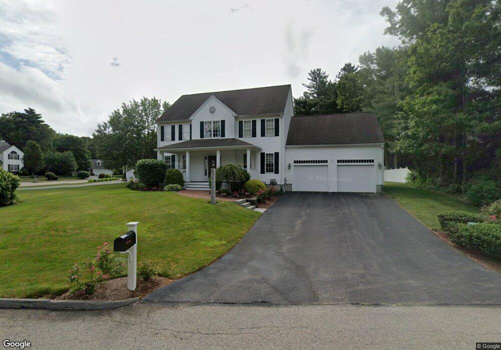
20 Darwin Ln Walpole, MA 02081
Estimated Value: $988,000 - $1,210,000
3
Beds
3
Baths
2,497
Sq Ft
$441/Sq Ft
Est. Value
About This Home
This home is located at 20 Darwin Ln, Walpole, MA 02081 and is currently estimated at $1,101,763, approximately $441 per square foot. 20 Darwin Ln is a home located in Norfolk County with nearby schools including Boyden School, Eleanor N. Johnson Middle School, and Walpole High School.
Ownership History
Date
Name
Owned For
Owner Type
Purchase Details
Closed on
Jan 30, 2025
Sold by
White Thomas C
Bought by
Tcwhite Ft and Tcwhite W
Current Estimated Value
Purchase Details
Closed on
Jul 1, 2009
Sold by
White Thomas C and White Margaret A
Bought by
White Thomas C
Create a Home Valuation Report for This Property
The Home Valuation Report is an in-depth analysis detailing your home's value as well as a comparison with similar homes in the area
Home Values in the Area
Average Home Value in this Area
Purchase History
| Date | Buyer | Sale Price | Title Company |
|---|---|---|---|
| Tcwhite Ft | -- | None Available | |
| White Thomas C | -- | -- | |
| White Thomas C | -- | -- |
Source: Public Records
Tax History Compared to Growth
Tax History
| Year | Tax Paid | Tax Assessment Tax Assessment Total Assessment is a certain percentage of the fair market value that is determined by local assessors to be the total taxable value of land and additions on the property. | Land | Improvement |
|---|---|---|---|---|
| 2025 | $12,416 | $967,700 | $369,000 | $598,700 |
| 2024 | $11,985 | $906,600 | $354,800 | $551,800 |
| 2023 | $11,230 | $808,500 | $308,500 | $500,000 |
| 2022 | $10,340 | $715,100 | $285,800 | $429,300 |
| 2021 | $10,170 | $685,300 | $269,500 | $415,800 |
| 2020 | $9,790 | $653,100 | $254,300 | $398,800 |
| 2019 | $9,459 | $626,400 | $244,500 | $381,900 |
| 2018 | $9,249 | $605,700 | $236,000 | $369,700 |
| 2017 | $8,993 | $586,600 | $227,000 | $359,600 |
| 2016 | $8,709 | $559,700 | $218,300 | $341,400 |
| 2015 | $8,470 | $539,500 | $208,000 | $331,500 |
| 2014 | $8,192 | $519,800 | $208,000 | $311,800 |
Source: Public Records
Map
Nearby Homes
- 69 Morningside Dr
- 1165 Washington St
- 885 Old Post Rd
- 635 Old Post Rd Unit 302
- 635 Old Post Rd Unit 110
- 635 Old Post Rd Unit 109
- 635 Old Post Rd Unit 303
- 0 U S Route 1
- 2 Sterling Ln Unit 2
- 0 Charles St
- 17 Charles St
- 305 Centre Ln
- 103 Centre Ln
- 61 Alton St
- 1391 Main St Unit 208
- 1391 Main St Unit 204
- 1391 Main St Unit 304
- 1188 Main St
- 4 Palomino Way
- 65-67 Diamond St