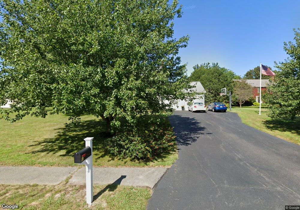
20 Deer Run Rd Wrentham, MA 02093
Estimated Value: $801,000 - $981,000
4
Beds
3
Baths
2,583
Sq Ft
$336/Sq Ft
Est. Value
About This Home
This home is located at 20 Deer Run Rd, Wrentham, MA 02093 and is currently estimated at $868,541, approximately $336 per square foot. 20 Deer Run Rd is a home located in Norfolk County with nearby schools including Delaney Elementary School and Charles E Roderick.
Ownership History
Date
Name
Owned For
Owner Type
Purchase Details
Closed on
May 24, 2000
Sold by
Roche Patrick E and Roche Catherine M
Bought by
Sawyer Erik R and Sawyer Rosemarie J
Current Estimated Value
Purchase Details
Closed on
Dec 29, 1989
Sold by
Dearango Jose M
Bought by
Roche Patrick E
Purchase Details
Closed on
Feb 24, 1987
Sold by
Oloughlin Tr Peter
Bought by
Dearango Jose M
Create a Home Valuation Report for This Property
The Home Valuation Report is an in-depth analysis detailing your home's value as well as a comparison with similar homes in the area
Home Values in the Area
Average Home Value in this Area
Purchase History
| Date | Buyer | Sale Price | Title Company |
|---|---|---|---|
| Sawyer Erik R | $305,000 | -- | |
| Roche Patrick E | $216,000 | -- | |
| Dearango Jose M | $229,900 | -- |
Source: Public Records
Mortgage History
| Date | Status | Borrower | Loan Amount |
|---|---|---|---|
| Open | Dearango Jose M | $150,000 | |
| Closed | Dearango Jose M | $185,983 |
Source: Public Records
Tax History Compared to Growth
Tax History
| Year | Tax Paid | Tax Assessment Tax Assessment Total Assessment is a certain percentage of the fair market value that is determined by local assessors to be the total taxable value of land and additions on the property. | Land | Improvement |
|---|---|---|---|---|
| 2025 | $8,966 | $773,600 | $302,600 | $471,000 |
| 2024 | $8,622 | $718,500 | $302,600 | $415,900 |
| 2023 | $8,546 | $677,200 | $275,000 | $402,200 |
| 2022 | $8,205 | $600,200 | $256,500 | $343,700 |
| 2021 | $7,634 | $542,600 | $223,900 | $318,700 |
| 2020 | $7,701 | $540,400 | $199,100 | $341,300 |
| 2019 | $7,429 | $526,100 | $199,100 | $327,000 |
| 2018 | $7,707 | $541,200 | $199,400 | $341,800 |
| 2017 | $7,503 | $526,500 | $195,500 | $331,000 |
| 2016 | $7,346 | $514,400 | $189,900 | $324,500 |
| 2015 | $7,351 | $490,700 | $182,500 | $308,200 |
| 2014 | $7,240 | $472,900 | $175,500 | $297,400 |
Source: Public Records
Map
Nearby Homes
- 11 Earle Stewart Ln
- 131 Creek St Unit 7
- Lot 3 - 14 Earle Stewart Ln
- Lot 1 - Blueberry 2 Car Plan at King Philip Estates
- Lot 8 - Blueberry 2 Car Plan at King Philip Estates
- Lot 5 - Hughes 2 car Plan at King Philip Estates
- Lot 6 - Blueberry 3 Car Plan at King Philip Estates
- Lot 2 - Camden 2 Car Plan at King Philip Estates
- Lot 7 - Cedar Plan at King Philip Estates
- Lot 4 - Hemingway 2 Car Plan at King Philip Estates
- Lot 3 - Blueberry 2 Car Plan at King Philip Estates
- 10 Nature View Dr
- 15 Nature View Dr
- 319 Taunton St
- 570 Franklin St
- 791 South St Unit 5
- 270 Dedham St
- 1 Lorraine Metcalf Dr
- 362 East St
- 50 Reed Fulton Ave Unit Lot 61