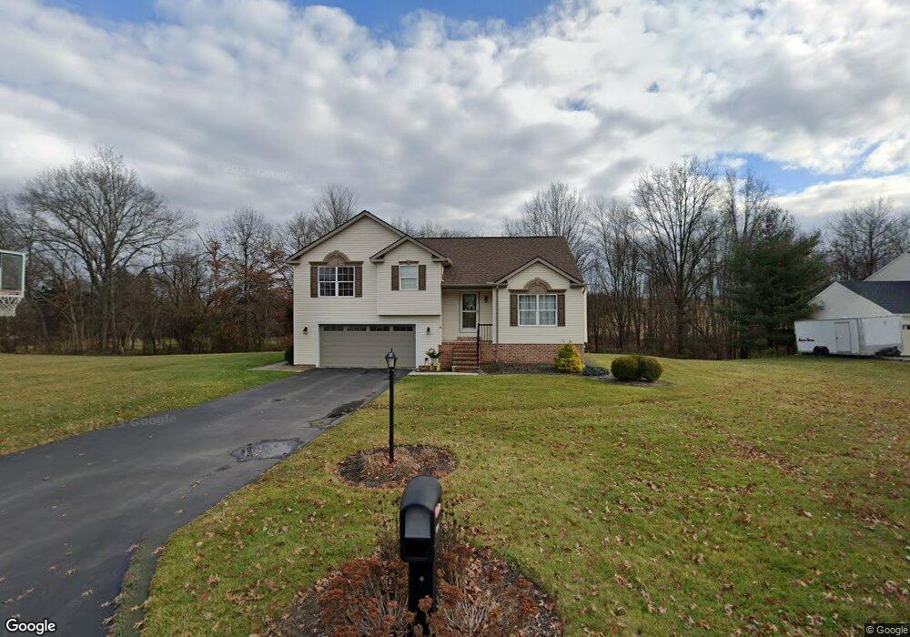
20 Deer Trail Rd Unit 11 Abbottstown, PA 17301
Estimated Value: $310,000 - $380,000
3
Beds
3
Baths
1,358
Sq Ft
$258/Sq Ft
Est. Value
About This Home
This home is located at 20 Deer Trail Rd Unit 11, Abbottstown, PA 17301 and is currently estimated at $349,834, approximately $257 per square foot. 20 Deer Trail Rd Unit 11 is a home located in Adams County with nearby schools including New Oxford Senior High School and Paradise School.
Ownership History
Date
Name
Owned For
Owner Type
Purchase Details
Closed on
Oct 20, 2010
Sold by
Smith Neil A and Smith Jennifer A
Bought by
Smith Neil A and Smith Jennifer A
Current Estimated Value
Purchase Details
Closed on
Mar 14, 2008
Sold by
Tharp Francis E and Tharp Sue F
Bought by
Smith Neil A and Sanders Jennifer A
Home Financials for this Owner
Home Financials are based on the most recent Mortgage that was taken out on this home.
Original Mortgage
$203,920
Outstanding Balance
$124,835
Interest Rate
5.76%
Mortgage Type
New Conventional
Estimated Equity
$224,999
Create a Home Valuation Report for This Property
The Home Valuation Report is an in-depth analysis detailing your home's value as well as a comparison with similar homes in the area
Purchase History
| Date | Buyer | Sale Price | Title Company |
|---|---|---|---|
| Smith Neil A | -- | -- | |
| Smith Neil A | $254,900 | -- |
Source: Public Records
Mortgage History
| Date | Status | Borrower | Loan Amount |
|---|---|---|---|
| Open | Smith Neil A | $203,920 |
Source: Public Records
Tax History
| Year | Tax Paid | Tax Assessment Tax Assessment Total Assessment is a certain percentage of the fair market value that is determined by local assessors to be the total taxable value of land and additions on the property. | Land | Improvement |
|---|---|---|---|---|
| 2025 | $5,244 | $231,300 | $60,000 | $171,300 |
| 2024 | $4,821 | $231,300 | $60,000 | $171,300 |
| 2023 | $4,632 | $231,300 | $60,000 | $171,300 |
| 2022 | $4,481 | $231,300 | $60,000 | $171,300 |
| 2021 | $4,359 | $231,300 | $60,000 | $171,300 |
| 2020 | $4,250 | $231,300 | $60,000 | $171,300 |
| 2019 | $4,156 | $231,300 | $60,000 | $171,300 |
| 2018 | $4,063 | $231,300 | $60,000 | $171,300 |
| 2017 | $3,883 | $231,300 | $60,000 | $171,300 |
| 2016 | -- | $231,300 | $60,000 | $171,300 |
| 2015 | -- | $231,300 | $60,000 | $171,300 |
| 2014 | -- | $231,300 | $60,000 | $171,300 |
Source: Public Records
Map
Nearby Homes
- 334 Rolling Ln Unit 2
- 35 Fox Meadow Dr Unit 13
- 81 Hughes Dr Unit 12
- 290 Woods Rd Unit 1
- 51 Abbotts Dr Unit 50
- 28 Town Cir Unit 12A
- 42 Lobell Rd Unit 19
- 221 Kinneman Rd Unit 28
- 32 Pine Rd
- 278 Runaway Rd
- 105 Frog Pond Hollow
- 115 Creekland Dr Unit 4
- 7467 Saint Patrick Ct
- 7463 Saint Patrick Ct
- 7457 Saint Patrick Ct
- 7465 Saint Patrick Ct
- 7477 Saint Patrick Ct
- 7479 Saint Patrick Ct
- 38 Stanley Dr
- 470 Racetrack Rd
- 24 Deer Trail Rd Unit 12
- 16 Deer Trail Rd Unit 10
- 8 S Pheasant Way Unit 16
- 11 Deer Trail Rd Unit 17
- 15 S Pheasant Way Unit 60
- 12 Deer Trail Rd Unit 9
- 385 Rolling Ln Unit 19
- 375 Rolling Ln Unit 20
- 9 S Pheasant Way Unit 15
- 395 Rolling Ln Unit 18
- 5 S Pheasant Way Unit 14
- 8 Deer Trail Rd Unit 8
- 355 Rolling Ln Unit 13
- 415 Rolling Ln Unit 7
- 3 N Pheasant Way Unit 59
- 620 Brough Rd
- 600 Brough Rd Unit 3
- 630 Brough Rd Unit 5
- 2 N Pheasant Way Unit 22
- 425 Rolling Ln Unit 6
Your Personal Tour Guide
Ask me questions while you tour the home.