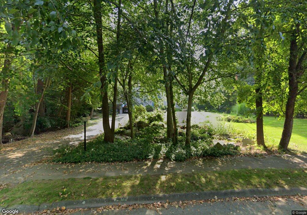
20 Deerfield Rd Medway, MA 02053
Estimated Value: $796,816 - $953,000
4
Beds
3
Baths
2,536
Sq Ft
$349/Sq Ft
Est. Value
About This Home
This home is located at 20 Deerfield Rd, Medway, MA 02053 and is currently estimated at $885,704, approximately $349 per square foot. 20 Deerfield Rd is a home located in Norfolk County with nearby schools including John D. McGovern Elementary School, Burke-Memorial Elementary, and Medway Middle School.
Ownership History
Date
Name
Owned For
Owner Type
Purchase Details
Closed on
Nov 5, 2020
Sold by
Boyce Gerard E and Boyce Morven H
Bought by
Boyce Ret
Current Estimated Value
Purchase Details
Closed on
Mar 27, 1990
Sold by
First American Titl
Bought by
Boyce Gerard E
Create a Home Valuation Report for This Property
The Home Valuation Report is an in-depth analysis detailing your home's value as well as a comparison with similar homes in the area
Home Values in the Area
Average Home Value in this Area
Purchase History
| Date | Buyer | Sale Price | Title Company |
|---|---|---|---|
| Boyce Ret | -- | None Available | |
| Boyce Gerard E | $224,000 | -- |
Source: Public Records
Mortgage History
| Date | Status | Borrower | Loan Amount |
|---|---|---|---|
| Previous Owner | Boyce Gerard E | $129,000 | |
| Previous Owner | Boyce Gerard E | $195,000 | |
| Previous Owner | Boyce Gerard E | $190,000 | |
| Previous Owner | Boyce Gerard E | $196,650 |
Source: Public Records
Tax History Compared to Growth
Tax History
| Year | Tax Paid | Tax Assessment Tax Assessment Total Assessment is a certain percentage of the fair market value that is determined by local assessors to be the total taxable value of land and additions on the property. | Land | Improvement |
|---|---|---|---|---|
| 2025 | $10,384 | $728,700 | $329,400 | $399,300 |
| 2024 | $10,493 | $728,700 | $329,400 | $399,300 |
| 2023 | $10,490 | $658,100 | $299,900 | $358,200 |
| 2022 | $9,293 | $548,900 | $221,700 | $327,200 |
| 2021 | $8,955 | $512,900 | $207,000 | $305,900 |
| 2020 | $8,790 | $502,300 | $207,000 | $295,300 |
| 2019 | $8,232 | $485,100 | $198,500 | $286,600 |
| 2018 | $8,305 | $470,300 | $190,100 | $280,200 |
| 2017 | $8,130 | $453,700 | $185,800 | $267,900 |
| 2016 | $7,950 | $439,000 | $171,100 | $267,900 |
| 2015 | $7,891 | $432,600 | $168,900 | $263,700 |
| 2014 | $7,828 | $415,500 | $168,900 | $246,600 |
Source: Public Records
Map
Nearby Homes
- 4 Deerfield Rd
- 78 Fisher St
- 85 Fisher St
- 6 Rainbow Dr
- 22 Granite St
- 9 Tulip Way
- 39 West St
- 15 Broad Acres Farm Rd
- 6 Freedom Trail
- 462 Hartford Ave
- 0 Old Log Lane (Farm St) Unit 73416329
- 5 Fales St
- 12 Longmeadow Ln
- 220 Main St Unit 220
- 455 Hartford Ave
- 387 Hartford Ave
- 176 Main St Unit 3
- 56 Paul Rd
- 28 Wellington St
- 11 Black Bear Unit 11