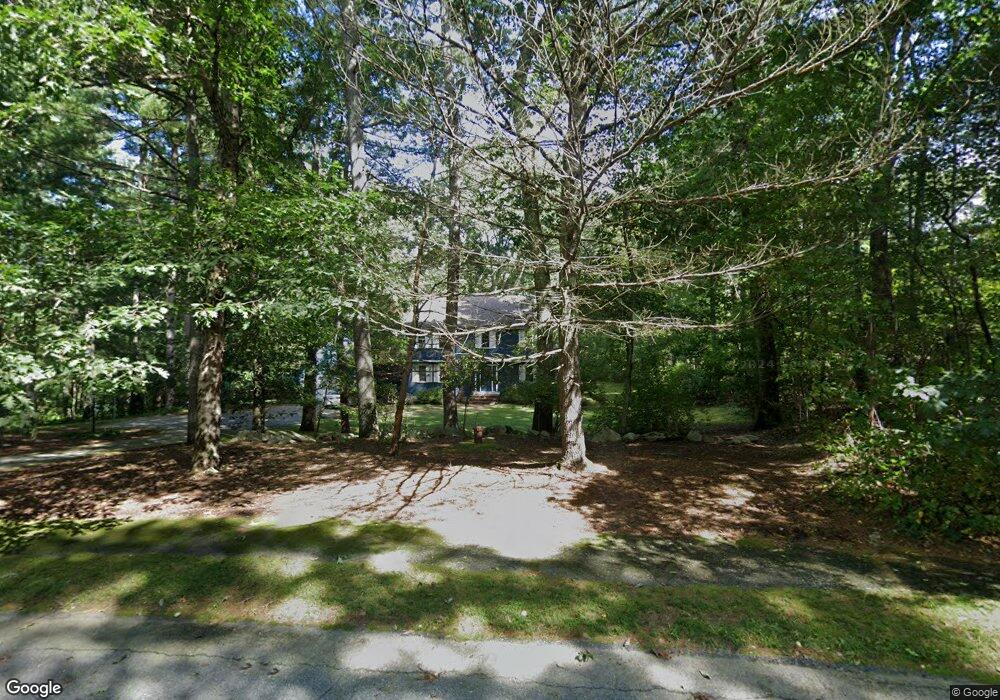
20 Deerfield Rd Sherborn, MA 01770
Estimated Value: $1,429,000 - $1,582,000
4
Beds
3
Baths
3,501
Sq Ft
$427/Sq Ft
Est. Value
About This Home
This home is located at 20 Deerfield Rd, Sherborn, MA 01770 and is currently estimated at $1,495,623, approximately $427 per square foot. 20 Deerfield Rd is a home located in Middlesex County with nearby schools including Pine Hill Elementary School, Dover-Sherborn Regional Middle School, and Dover-Sherborn Regional High School.
Ownership History
Date
Name
Owned For
Owner Type
Purchase Details
Closed on
Jun 22, 1988
Sold by
Berkeley Joseph W
Bought by
Rudin Jeffrey
Current Estimated Value
Home Financials for this Owner
Home Financials are based on the most recent Mortgage that was taken out on this home.
Original Mortgage
$300,000
Interest Rate
10.32%
Mortgage Type
Purchase Money Mortgage
Create a Home Valuation Report for This Property
The Home Valuation Report is an in-depth analysis detailing your home's value as well as a comparison with similar homes in the area
Home Values in the Area
Average Home Value in this Area
Purchase History
| Date | Buyer | Sale Price | Title Company |
|---|---|---|---|
| Rudin Jeffrey | $505,000 | -- |
Source: Public Records
Mortgage History
| Date | Status | Borrower | Loan Amount |
|---|---|---|---|
| Closed | Rudin Jeffrey | $283,000 | |
| Closed | Rudin Jeffrey | $300,000 |
Source: Public Records
Tax History
| Year | Tax Paid | Tax Assessment Tax Assessment Total Assessment is a certain percentage of the fair market value that is determined by local assessors to be the total taxable value of land and additions on the property. | Land | Improvement |
|---|---|---|---|---|
| 2025 | $23,893 | $1,441,100 | $473,200 | $967,900 |
| 2024 | $21,984 | $1,297,000 | $464,500 | $832,500 |
| 2023 | $19,516 | $1,083,600 | $464,500 | $619,100 |
| 2022 | $18,444 | $969,200 | $452,700 | $516,500 |
| 2021 | $18,221 | $928,200 | $452,700 | $475,500 |
| 2020 | $18,063 | $928,200 | $452,700 | $475,500 |
| 2019 | $18,088 | $921,900 | $452,700 | $469,200 |
| 2018 | $17,490 | $906,200 | $452,700 | $453,500 |
| 2017 | $17,188 | $840,100 | $446,900 | $393,200 |
| 2016 | $16,493 | $801,800 | $418,100 | $383,700 |
| 2015 | $15,951 | $785,000 | $406,500 | $378,500 |
| 2014 | $15,426 | $758,400 | $395,000 | $363,400 |
Source: Public Records
Map
Nearby Homes
- 174 S Main St
- 20 Nason Hill Rd
- 32 Cider Hill Ln
- 14 Sewall Brook Ln
- 5 Farm Rd
- 90 Maple St
- 59 Spywood Rd
- 14 Fiske Pond Rd
- 65 Farm Road Lot 6
- 27 Spywood Rd
- 21 Spywood Rd
- 00000 S Main St and Bullard St
- 137 Lake St
- 615 Mayflower Landing
- 18 Northway St
- 2 Towne Lyne Rd
- 119 Middlesex St
- 9 Adams Ln Unit 9
- 1 Adams Ln Unit 1
- 1 Danforth Dr
- 16 Deerfield Rd
- 24 Deerfield Rd
- 23 Deerfield Rd
- 19 Deerfield Rd
- 8 Deerfield Rd
- 11 Deerfield Rd
- 28 Deerfield Rd
- 27 Deerfield Rd
- 7 Deerfield Rd
- 6 Deerfield Rd
- 31 Deerfield Rd
- 5 Deerfield Rd
- 94 Woodland St
- 32 Deerfield Rd
- 92 Woodland St
- 2 Deerfield Rd
- 1 Deerfield Rd
- 86 Woodland St
- 0 Mill St Unit 71310426
- 0 Mill St Unit 71352692
Your Personal Tour Guide
Ask me questions while you tour the home.