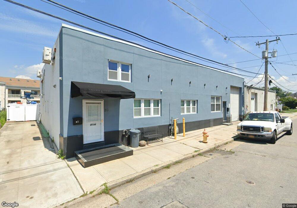
20 Dock Dr Freeport, NY 11520
Estimated Value: $573,482
Studio
--
Bath
3,220
Sq Ft
$178/Sq Ft
Est. Value
About This Home
This home is located at 20 Dock Dr, Freeport, NY 11520 and is currently estimated at $573,482, approximately $178 per square foot. 20 Dock Dr is a home located in Nassau County with nearby schools including Columbus Avenue School, Caroline G. Atkinson Intermediate School, and John W Dodd Middle School.
Ownership History
Date
Name
Owned For
Owner Type
Purchase Details
Closed on
May 14, 2015
Sold by
Laibach Edmund C and Laibach Leo W
Bought by
Zeus Rental Llc
Current Estimated Value
Home Financials for this Owner
Home Financials are based on the most recent Mortgage that was taken out on this home.
Original Mortgage
$227,625
Outstanding Balance
$175,163
Interest Rate
3.65%
Mortgage Type
Commercial
Estimated Equity
$398,319
Create a Home Valuation Report for This Property
The Home Valuation Report is an in-depth analysis detailing your home's value as well as a comparison with similar homes in the area
Home Values in the Area
Average Home Value in this Area
Purchase History
| Date | Buyer | Sale Price | Title Company |
|---|---|---|---|
| Zeus Rental Llc | $303,500 | Stewart Title |
Source: Public Records
Mortgage History
| Date | Status | Borrower | Loan Amount |
|---|---|---|---|
| Open | Zeus Rental Llc | $227,625 |
Source: Public Records
Tax History
| Year | Tax Paid | Tax Assessment Tax Assessment Total Assessment is a certain percentage of the fair market value that is determined by local assessors to be the total taxable value of land and additions on the property. | Land | Improvement |
|---|---|---|---|---|
| 2025 | $8,797 | $2,434 | $1,437 | $997 |
| 2024 | $1,055 | $2,434 | $1,437 | $997 |
Source: Public Records
Map
Nearby Homes
- 47 Anchor St Unit Y
- 31 Anchor St Unit Y
- 77 Hampton Place
- 116 Westend Ave Unit 8
- 153 Westend Ave
- 525 Ray St
- 59 Hampton Place Unit 20D
- 14 Florence Ave Unit 25B
- 12 Florence Ave Unit 29A
- 210 Westend Ave Unit 8B
- 210 Westend Ave Unit 8A
- 8 Florence Ave Unit 16C
- 28 Florence Ave
- 1116 Washington Place
- 1108 Washington Place
- 1137 Washington Place
- 463 S Bayview Ave
- 2864 Eastern Blvd
- 1050 Hastings St
- 587 S Bayview Ave
- 24 Dock Dr
- 17 Dock Dr
- 13 Dock Dr
- 21 Dock Dr
- 12 Dock Dr
- 11 Dock Dr
- 27 Anchor St Unit 47V
- 27 Anchor St Unit T
- 27 Anchor St Unit 7
- 19 Anchor St Unit D
- 27 Anchor St
- 23 Anchor St Unit 23H
- 31 Anchor St Unit Z
- 27 Anchor St Unit R
- 19 Anchor St Unit B
- 19 Anchor St Unit F
- 19 Anchor St Unit C
- 31 Anchor St Unit V
- 19 Anchor St Unit 19
- 31 Anchor St Unit 31
Your Personal Tour Guide
Ask me questions while you tour the home.