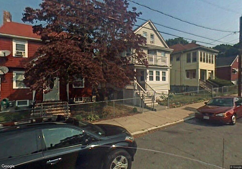
20 Doone Ave Unit 1 Mattapan, MA 02126
Southern Mattapan NeighborhoodEstimated Value: $876,000 - $915,000
2
Beds
1
Bath
1,500
Sq Ft
$598/Sq Ft
Est. Value
About This Home
This home is located at 20 Doone Ave Unit 1, Mattapan, MA 02126 and is currently estimated at $897,431, approximately $598 per square foot. 20 Doone Ave Unit 1 is a home located in Suffolk County with nearby schools including Berea Seventh-day Adventist Academy.
Ownership History
Date
Name
Owned For
Owner Type
Purchase Details
Closed on
Aug 9, 2017
Sold by
Heath William B and Fnma
Bought by
Federal National Mortgage Association
Current Estimated Value
Create a Home Valuation Report for This Property
The Home Valuation Report is an in-depth analysis detailing your home's value as well as a comparison with similar homes in the area
Home Values in the Area
Average Home Value in this Area
Purchase History
| Date | Buyer | Sale Price | Title Company |
|---|---|---|---|
| Federal National Mortgage Association | $406,600 | -- |
Source: Public Records
Tax History Compared to Growth
Tax History
| Year | Tax Paid | Tax Assessment Tax Assessment Total Assessment is a certain percentage of the fair market value that is determined by local assessors to be the total taxable value of land and additions on the property. | Land | Improvement |
|---|---|---|---|---|
| 2025 | $8,744 | $755,100 | $130,400 | $624,700 |
| 2024 | $7,857 | $720,800 | $144,000 | $576,800 |
| 2023 | $7,167 | $667,300 | $133,300 | $534,000 |
| 2022 | $7,260 | $667,300 | $133,300 | $534,000 |
| 2021 | $6,718 | $629,600 | $125,800 | $503,800 |
| 2020 | $4,916 | $465,500 | $112,100 | $353,400 |
| 2019 | $4,378 | $415,400 | $84,800 | $330,600 |
| 2018 | $4,106 | $391,800 | $84,800 | $307,000 |
| 2017 | $3,989 | $376,700 | $84,800 | $291,900 |
| 2016 | $3,872 | $352,000 | $84,800 | $267,200 |
| 2015 | $3,565 | $294,400 | $82,100 | $212,300 |
| 2014 | $3,188 | $253,400 | $82,100 | $171,300 |
Source: Public Records
Map
Nearby Homes
- 10-12 Stow Rd
- 30 Glenhill Rd
- 15-17 W Selden St
- 124 Selden St
- 139 Selden St
- 808 Morton St Unit 3
- 18 Astoria St
- 23 Maryknoll St
- 32 Crowell St
- 147 Fairmount St
- 44 Evans St
- 73 Stanton St
- 157 Delhi St
- 68 Mascot St
- 84-86 Codman Hill Ave
- 10 Sutton St
- 5 Sutton St
- 5 Sutton St Unit 3B
- 36 Oakridge St
- 251 Norfolk St Unit A