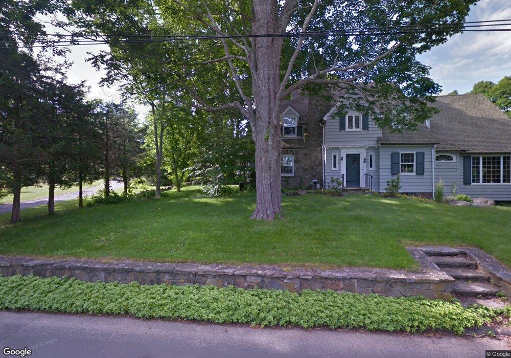
20 Dunk Rock Rd Guilford, CT 06437
Estimated Value: $278,767
2
Beds
3
Baths
1,678
Sq Ft
$166/Sq Ft
Est. Value
About This Home
This home is located at 20 Dunk Rock Rd, Guilford, CT 06437 and is currently estimated at $278,767, approximately $166 per square foot. 20 Dunk Rock Rd is a home located in New Haven County with nearby schools including E.C. Adams Middle School, A. Baldwin Middle School, and Guilford High School.
Ownership History
Date
Name
Owned For
Owner Type
Purchase Details
Closed on
Jul 19, 2010
Sold by
Herbert M Noyes Ret and Noyes Dianna
Bought by
Smith Martin R and Strakman-Smith Holly
Current Estimated Value
Home Financials for this Owner
Home Financials are based on the most recent Mortgage that was taken out on this home.
Original Mortgage
$255,000
Interest Rate
4.82%
Mortgage Type
Commercial
Create a Home Valuation Report for This Property
The Home Valuation Report is an in-depth analysis detailing your home's value as well as a comparison with similar homes in the area
Home Values in the Area
Average Home Value in this Area
Purchase History
| Date | Buyer | Sale Price | Title Company |
|---|---|---|---|
| Smith Martin R | $150,000 | -- | |
| Smith Martin R | $150,000 | -- |
Source: Public Records
Mortgage History
| Date | Status | Borrower | Loan Amount |
|---|---|---|---|
| Closed | Smith Martin R | $255,000 | |
| Previous Owner | Smith Martin R | $70,000 |
Source: Public Records
Tax History Compared to Growth
Tax History
| Year | Tax Paid | Tax Assessment Tax Assessment Total Assessment is a certain percentage of the fair market value that is determined by local assessors to be the total taxable value of land and additions on the property. | Land | Improvement |
|---|---|---|---|---|
| 2025 | $6,873 | $248,570 | $137,690 | $110,880 |
| 2024 | $6,607 | $248,570 | $137,690 | $110,880 |
| 2023 | $6,433 | $248,570 | $137,690 | $110,880 |
| 2022 | $7,474 | $224,790 | $125,210 | $99,580 |
| 2021 | $7,333 | $224,790 | $125,210 | $99,580 |
| 2020 | $7,263 | $224,790 | $125,210 | $99,580 |
| 2019 | $7,200 | $224,790 | $125,210 | $99,580 |
| 2018 | $7,031 | $224,790 | $125,210 | $99,580 |
| 2017 | $5,733 | $195,260 | $125,200 | $70,060 |
| 2016 | $5,598 | $195,260 | $125,200 | $70,060 |
| 2015 | $5,514 | $195,260 | $125,200 | $70,060 |
| 2014 | $5,354 | $195,260 | $125,200 | $70,060 |
Source: Public Records
Map
Nearby Homes
- 120 N Fair St Unit 2C
- 274 Church St Unit 1A
- 1054 Boston Post Rd
- 82 State St
- 427 Three Mile Course
- 65 Water St
- 134 Water St
- 14 Village Cir Unit 14
- 28 Village Cir Unit 28
- 16 Village Cir Unit 16
- 7 Village Cir Unit 7
- 181 Denison Dr
- 140 Wildrose Ave
- 64 Boston St
- 66 High St Unit 17
- 66 High St Unit 40
- 66 High St Unit 38
- 66 High St Unit 36
- 51 Pearl St
- 174 Whitfield St
- 24 Dunk Rock Rd
- 4 Dunk Rock Rd
- 1310 Boston Post Rd
- 37 Three Mile Course
- 35 Three Mile Course
- 3 Dunk Rock Rd
- 52 Farmview Ln
- 1300 Boston Post Rd
- 1300 Boston Post Rd Unit 11-14
- 68 Farmview Ln
- 31 Three Mile Course
- 60 Dunk Rock Rd
- 55 Dunk Rock Rd
- 31 Three Mile Course
- 55 Three Mile Course
- 81 Three Mile Course
- 45 Three Mile Course
- 1250 Boston Post Rd
- 26 Long Hill Rd
- Lot 25 Long Hill Rd