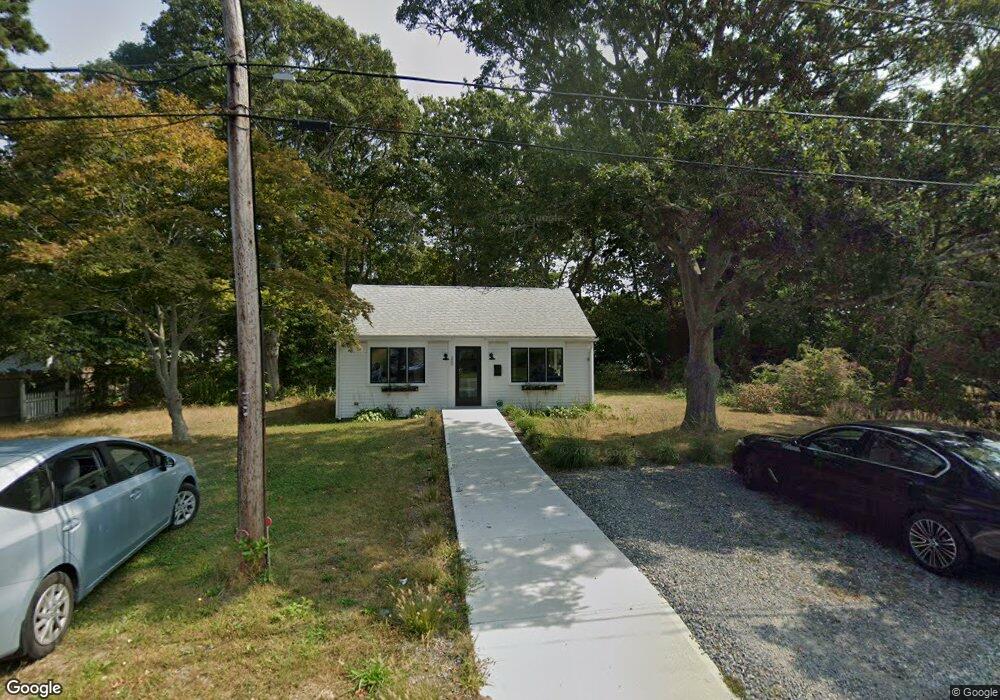
20 Dunns Pond Rd Barnstable, MA 02601
Estimated Value: $402,998
--
Bed
1
Bath
616
Sq Ft
$654/Sq Ft
Est. Value
About This Home
This home is located at 20 Dunns Pond Rd, Barnstable, MA 02601 and is currently estimated at $402,998, approximately $654 per square foot. 20 Dunns Pond Rd is a home located in Barnstable County with nearby schools including Hyannis West Elementary School, Barnstable United Elementary School, and Barnstable Intermediate School.
Ownership History
Date
Name
Owned For
Owner Type
Purchase Details
Closed on
Sep 17, 2007
Sold by
Estes-Cook Carol J and Cook George T
Bought by
Gonyea Karen L
Current Estimated Value
Purchase Details
Closed on
May 15, 2002
Sold by
Walsh Marie T
Bought by
Cook George T
Create a Home Valuation Report for This Property
The Home Valuation Report is an in-depth analysis detailing your home's value as well as a comparison with similar homes in the area
Home Values in the Area
Average Home Value in this Area
Purchase History
| Date | Buyer | Sale Price | Title Company |
|---|---|---|---|
| Gonyea Karen L | $125,000 | -- | |
| Cook George T | $125,000 | -- |
Source: Public Records
Tax History Compared to Growth
Tax History
| Year | Tax Paid | Tax Assessment Tax Assessment Total Assessment is a certain percentage of the fair market value that is determined by local assessors to be the total taxable value of land and additions on the property. | Land | Improvement |
|---|---|---|---|---|
| 2025 | $3,179 | $323,400 | $133,900 | $189,500 |
| 2024 | $2,233 | $229,000 | $133,900 | $95,100 |
| 2023 | $2,131 | $202,800 | $133,900 | $68,900 |
| 2022 | $2,787 | $217,700 | $148,800 | $68,900 |
| 2021 | $2,799 | $218,700 | $148,800 | $69,900 |
| 2020 | $2,369 | $180,000 | $130,400 | $49,600 |
| 2019 | $2,430 | $180,000 | $130,400 | $49,600 |
| 2018 | $2,545 | $177,700 | $130,400 | $47,300 |
| 2017 | $2,235 | $177,700 | $130,400 | $47,300 |
| 2016 | $2,182 | $177,700 | $130,400 | $47,300 |
| 2015 | $1,999 | $166,600 | $125,300 | $41,300 |
Source: Public Records
Map
Nearby Homes
- 20 Dunns Pond Rd
- 30 Dunn's Pond
- 30 Dunns Pond Rd
- 610 W Main St
- 29 Seaboard Ln
- 596 W Main St
- 38 Dunns Pond Rd
- 38 Dunn's Pond Rd
- 39 Seaboard Ln
- 626 W Main St
- 28 Seaboard Ln
- 48 Dunns Pond Rd
- 49 Seaboard Ln
- 644 W Main St
- 10 Seaboard Ln Unit 4
- 10 Seaboard Ln
- 38 Seaboard Ln
- 51 Dunns Pond Rd
- 48 Seaboard Ln
- 60 Dunns Pond Rd